
Best Drone Spots in the Scottish Highlands 2026: Legal & Stunning
 13 min read
2,407 words
13 min read
2,407 words
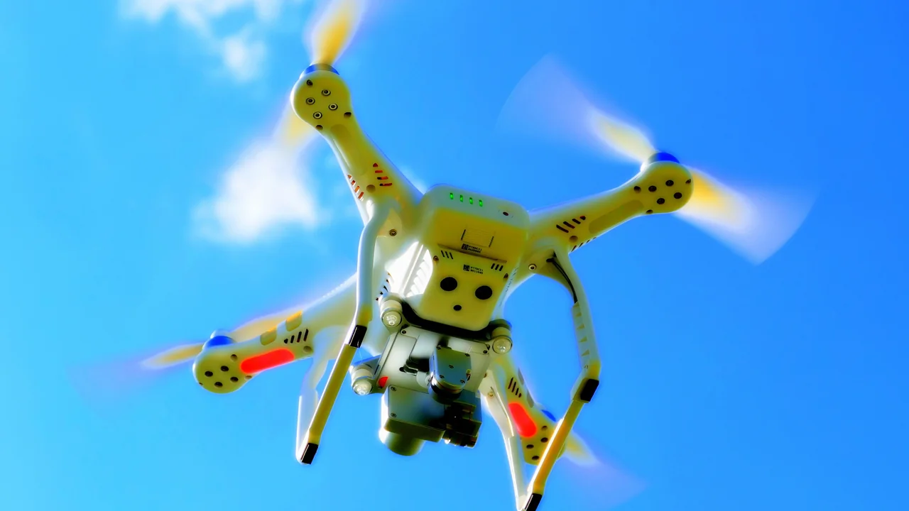
If you are planning a drone photography trip to Scotland, you have chosen one of the most spectacular landscapes in the world. The best drone spots Scottish Highlands offer endless opportunities for dramatic aerial shots, from jagged mountain ridges to deep lochs and ancient glens. In this guide, I will walk you through the most stunning and legally accessible locations for drone flying in the Highlands, explain exactly what the Civil Aviation Authority (CAA) requires, and give you practical tips to capture incredible footage whilst staying on the right side of the law. Whether you are visiting the Isle of Skye, Glencoe, or the remote Outer Hebrides, you will learn where to fly, what to avoid, and how to make the most of Scotland’s open-access land.
Do You Need to Register a Drone to Fly in the Scottish Highlands?
Yes, if your drone weighs 250g or more, you must register as an operator with the CAA via register-drones.caa.co.uk. The operator ID costs £9 per year and must be displayed on your drone. Additionally, anyone flying a drone with a camera (regardless of weight) must pass the free online Flyer ID test. This applies to all recreational and commercial flights across the Scottish Highlands. Even if you fly a sub-250g model like the DJI Mini 4 Pro, you still need the Flyer ID if your drone has a camera. Always carry proof of registration and follow The Drone Code from dronesafe.uk.
Isle of Skye Drone Photography Spots: Where to Fly Legally
The Isle of Skye is arguably the crown jewel of Scottish drone photography. Its dramatic landscapes are largely open moorland or common land, which means no blanket drone bans exist. However, you must respect the Scottish Outdoor Access Code and the CAA’s Drone Code.
Fairy Pools Area: Open Land with Stunning Waterfalls
The Fairy Pools near Glenbrittle are a magnet for photographers. The surrounding terrain is open moorland owned by the John Muir Trust. You can launch from the car park area or walk further up the path for wider compositions. Avoid flying directly over the pools if crowds are present; keep a safe distance from people and livestock. Early morning or late evening offers the best light and fewest visitors.
Old Man of Storr: Open Moorland, Careful Approach
The Old Man of Storr is a iconic pinnacle of rock on the Trotternish Ridge. The land here is open moorland with no specific drone ban. Launch from the car park or the lower slopes, but be mindful of hikers on the main path. The wind can be treacherous at altitude; keep your drone below 120m and maintain visual line of sight. Do not fly over the summit if people are climbing.
Quiraing: One of the Best Drone Spots Scottish Highlands
The Quiraing is a geological wonderland of cliffs, plateaus, and hidden lochans. This is open common land, and drone flying is permitted. The sheer scale of the landscape makes wide panoramic shots spectacular. Be aware of strong and unpredictable winds that funnel through the gullies. The Quiraing is also a Site of Special Scientific Interest (SSSI); while drone flights are not banned, you must not disturb wildlife, especially ground-nesting birds like skylarks and meadow pipits.
Pros of Skye Drone Spots
- Dramatic, unique landscapes
- Mostly open access land
- Few blanket bans
Cons of Skye Drone Spots
- Unpredictable weather and wind
- Summer crowds can limit safe flying
- Wildlife disturbance risk (nesting season)
Glencoe Drone Rules: Flying in a National Scenic Area
Glencoe is a National Scenic Area (NSA) managed by the National Trust for Scotland. There is no blanket drone ban in Glencoe, but the Trust requests that pilots fly responsibly and avoid disturbing other visitors or wildlife. The best drone photography spots in Glencoe include the Three Sisters viewpoint, the valley floor near the Clachaig Inn, and the Buachaille Etive Mòr approach. Keep your flights brief, avoid flying over the main road (A82), and never chase wildlife such as red deer or golden eagles. The CAA rules still apply: maintain 50m distance from people and property, and never fly over crowds.
Ben Nevis Area: High Altitude Drone Flying
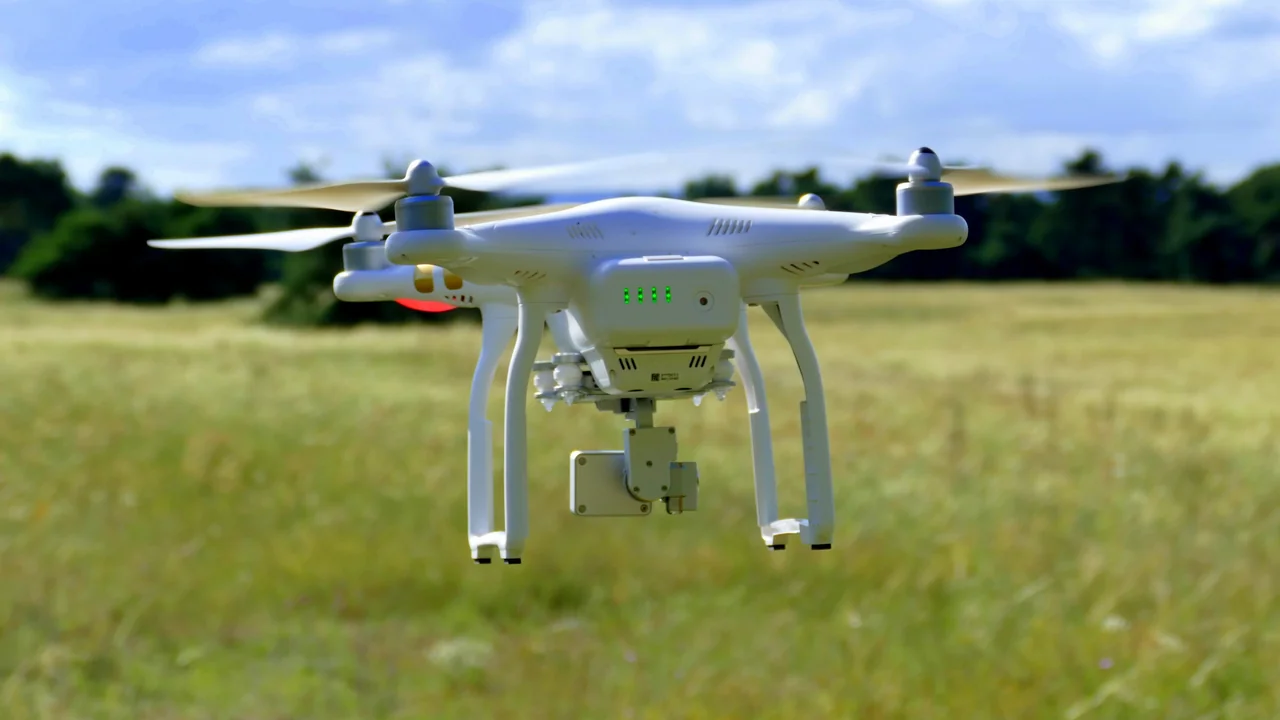
Ben Nevis, the UK’s highest mountain, sits within the Ben Nevis and Glen Coe National Scenic Area. Drone flying is permitted from the Glen Nevis car park and the lower slopes. However, the summit is frequently crowded with climbers, and flying over people is illegal under CAA rules. The weather on Ben Nevis changes rapidly; thick cloud can obscure your drone instantly. Fly only in clear conditions, keep below 120m AGL, and never fly near rescue helicopters or mountain rescue operations. The area around Steall Falls and the Nevis Gorge is also excellent for drone photography, with fewer people.
Cairngorms National Park: No Blanket Ban, Follow CAA Rules
The Cairngorms National Park is the largest in the UK and covers vast areas of open moorland, forests, and mountains. There is no blanket drone ban within the park, but the park authority encourages responsible flying. The best drone spots include the Cairngorm Mountain car park area, the Rothiemurchus Estate (with permission from the landowner), and the Lairig Ghru pass for adventurous pilots. Be aware that the Cairngorms are home to rare species like the capercaillie and golden eagle. During the bird nesting season (April to August), avoid flying near known nesting sites. Always check local signage and use the No-Fly Zone Checker before launching.
Loch Ness Area: Open Private and Forestry Land
Loch Ness is one of Scotland’s most famous landmarks. The loch itself is mostly open water, but the surrounding land varies between private estates and Forestry and Land Scotland (FLS) plantations. You can fly from public car parks like the one at Fort Augustus or the Dores Beach area. FLS land generally permits drone flying as long as you follow the Scottish Outdoor Access Code. Avoid flying over Urquhart Castle if it is busy with tourists; launch from the car park and keep the drone over the water instead. The best drone photography spots on Loch Ness are the northern shoreline near Drumnadrochit and the southern slopes above Foyers, which offer panoramic views of the entire loch.
North Coast 500 Route Highlights for Drone Photography
The NC500 is a 500-mile touring route around the northern coast of Scotland. It passes through some of the most remote and stunning landscapes in the country. Key drone photography spots along the route include:
- Bealach na Bà (Pass of the Cattle) — dramatic mountain road with open moorland
- Applecross Peninsula — coastal views and sandy beaches
- Smoo Cave near Durness — launch from the clifftop for aerial cave shots
- Dunrobin Castle grounds — fly from the public car park, avoid the castle itself
- John o’ Groats — open coastal area, but respect the busy tourist site
- Duncansby Head — dramatic sea stacks and cliffs, ideal for drone photography
Outer Hebrides: Harris and Lewis Drone Flying Tips
The Outer Hebrides offer some of the most pristine and untouched drone photography locations in Europe. The islands of Harris and Lewis are mostly open common land with no blanket bans. The best drone spots include the Luskentyre Sands beach, the Callanish Standing Stones (fly from a distance to avoid disturbing visitors), and the dramatic cliffs of the Butt of Lewis. However, the Outer Hebrides are a critical habitat for ground-nesting birds like the great skua, Arctic tern, and golden plover. During the nesting season (April to August), you must avoid flying anywhere near bird colonies. The RSPB and Scottish Natural Heritage advise keeping at least 100m away from nesting birds. Wind speeds on the west coast can exceed 40mph, so check forecasts carefully.
Rannoch Moor: Open Moorland Drone Paradise
Rannoch Moor is a vast, desolate expanse of blanket bog and lochans between Glencoe and the A82. This is open access land with no drone restrictions beyond CAA rules. The area is virtually uninhabited, making it one of the best drone spots Scottish Highlands for uninterrupted aerial photography. The views of Buachaille Etive Mòr from the moor are legendary. However, the terrain is treacherous for walking — stay on established paths and avoid the deep peat bogs. The moor is also a SSSI; do not fly low over the bog pools where rare dragonflies and birds nest.
Practical Tips for Drone Photography in Scotland
Midges Season: When to Fly
The Scottish midge (Culicoides impunctatus) is a tiny biting insect that appears from May to September, peaking in June and July. Midges are most active at dawn and dusk, and in still, damp conditions. To avoid them, fly during the middle of the day when the sun is high and a breeze is present. Use insect repellent containing DEET or buy Smidge, a Scottish brand that works well. Midges are not present above 600m elevation, so flying from higher ground can offer relief.
Weather and Wind: Key Considerations
Scotland’s Atlantic weather is famously unpredictable. Even in summer, you can experience all four seasons in one day. Wind speeds at altitude can be significantly higher than at ground level. Before flying, check the UAV forecast (such as UAV Forecast or Windy) for wind speeds at 120m. If ground-level wind is above 15mph, expect strong gusts at altitude. Rain can damage your drone; check radar maps and avoid flying in precipitation. The best months for drone photography in the Highlands are April to June and September to October, when the light is golden and the weather is more stable.
Wildlife Disturbance Awareness
The Scottish Highlands are home to iconic wildlife including golden eagles, white-tailed eagles, red kites, red deer, and mountain hares. The CAA requires you to maintain a safe distance from animals and avoid causing distress. The Scottish Outdoor Access Code states that you must not intentionally disturb wildlife. During the nesting season (April to August), keep at least 100m from any bird colony or nest. If an eagle or other bird of prey shows signs of agitation (circling, calling, dive-bombing), land your drone immediately and move away. Report any close encounters to NatureScot.
Summary
The Scottish Highlands offer some of the best drone photography locations in the world, with vast open moorlands, dramatic coastlines, and iconic mountains. The key to a successful and legal trip is preparation. Register your drone with the CAA, carry your operator ID, and always follow The Drone Code. Use the No-Fly Zone Checker before every flight to confirm you are not near restricted airspace. Respect wildlife, especially during nesting season, and be prepared for rapidly changing weather. With the right planning, you will capture stunning aerial images that showcase the raw beauty of Scotland.
Frequently Asked Questions
Where can I fly a drone in the Scottish Highlands legally?
You can fly a drone in most open moorland, common land, and Forestry and Land Scotland areas across the Highlands, provided you follow CAA regulations. There are no blanket drone bans in national parks or national scenic areas, but you must respect the Scottish Outdoor Access Code. Always check for local restrictions at car parks and visitor centres, and use the Drone Assist app to see airspace constraints.
Best drone spots on the Isle of Skye?
The best drone photography spots on Skye include the Fairy Pools near Glenbrittle, the Old Man of Storr, and the Quiraing. All three are on open moorland with no blanket bans. For dramatic coastal shots, try the Neist Point lighthouse area or the Coral Beaches near Dunvegan. Early morning or late evening offers the best light and fewest crowds.
Are drones allowed in Glencoe?
Yes, drones are allowed in Glencoe as there is no blanket ban. The area is a National Scenic Area managed by the National Trust for Scotland, which requests responsible flying. Avoid flying over the A82 road, maintain 50m distance from people, and do not disturb wildlife such as deer or eagles. The Three Sisters viewpoint and the valley floor are popular launch points.
Can I fly a drone at Loch Ness?
Yes, you can fly a drone at Loch Ness. The loch itself is open water, and the surrounding land is a mix of private estates and Forestry and Land Scotland plantations. Launch from public car parks such as Fort Augustus or Dores Beach. Avoid flying directly over Urquhart Castle when it is busy, and keep your drone over the water to avoid private property issues.
Best drone photography spots in Scotland?
The best drone photography spots in Scotland include the Isle of Skye (Fairy Pools, Old Man of Storr, Quiraing), Glencoe (Three Sisters), the Cairngorms (Cairngorm Mountain), Loch Ness, the North Coast 500 route (Bealach na Bà, Duncansby Head), and the Outer Hebrides (Luskentyre Sands, Callanish Standing Stones). Each offers unique landscapes and is legally accessible for drone flying.
Is Quiraing on Skye open for drone flying?
Yes, the Quiraing is open for drone flying. It is common land with no blanket ban. However, it is a Site of Special Scientific Interest (SSSI), so you must not disturb wildlife, especially ground-nesting birds. The wind can be extremely strong and unpredictable in the gullies, so fly with caution and keep your drone within visual line of sight at all times.
Last updated: June 25, 2026
- Civil Aviation Authority (CAA) — dronesafe.uk
- Scottish Outdoor Access Code — outdooraccess-scotland.scot
- NatureScot — nature.scot
- Forestry and Land Scotland — forestryandland.gov.scot
- Cairngorms National Park Authority — cairngorms.co.uk
Drone Allowed
DroneAllowed editor covering drone regulations, aviation law, and aerial photography across USA, UK, Canada & Australia.