
Idaho Drone Laws 2026: Craters of the Moon, Sawtooth & Rules
 14 min read
2,618 words
14 min read
2,618 words
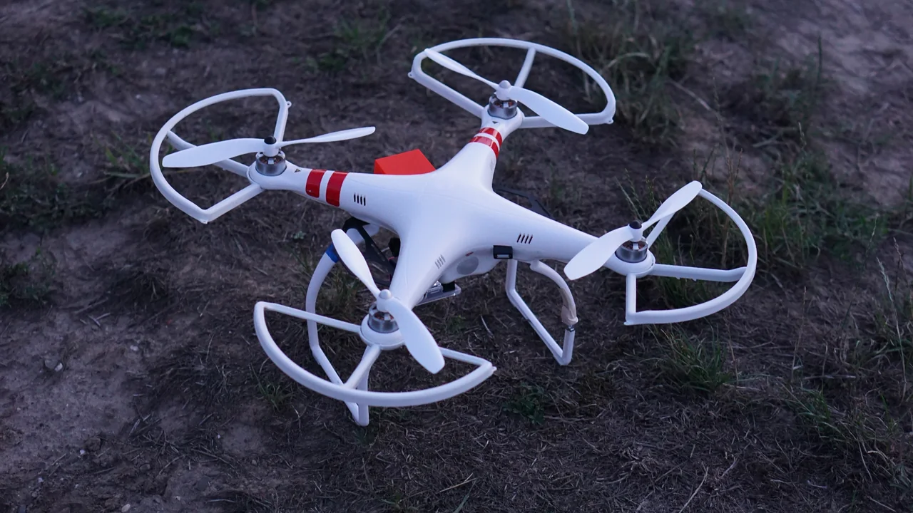
If you are planning to fly a drone in Idaho in 2026, especially around the dramatic lava fields of Craters of the Moon or the alpine peaks of the Sawtooth Mountains, you need to know exactly where you can and cannot launch. Idaho drone laws are a mix of federal FAA rules and specific local restrictions that can catch even experienced pilots off guard. In this guide, you will learn the legal status of drones at every major Idaho landmark, from the strict National Park Service bans to the open-skies policies of national forests, plus the specific airspace challenges near Boise and Mountain Home Air Force Base.
What Are the Federal FAA Drone Rules That Apply to All of Idaho?
Before you look at any local Idaho drone laws, you must comply with the Federal Aviation Administration (FAA) baseline. These rules apply everywhere in the United States, including every corner of Idaho. If your drone weighs more than 0.55 lbs (250g), you must register it through the FAA DroneZone for a $5 fee that covers three years. You must fly at or below 400 feet above ground level (AGL), keep the drone within visual line of sight, and never fly over people or moving vehicles unless you have a Part 107 waiver. For recreational flyers, you must pass the TRUST test and carry proof of completion. For commercial operations, you need a Part 107 Remote Pilot Certificate. Controlled airspace around airports requires LAANC authorization; you cannot just launch anywhere near an airport without approval.
Drone Rules at Craters of the Moon National Monument: Complete Ban
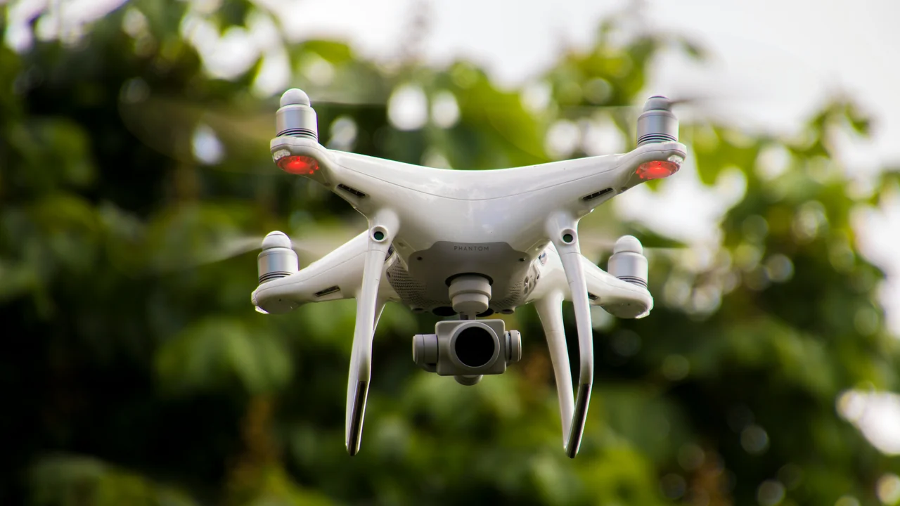
Craters of the Moon National Monument and Preserve is one of the most unique landscapes in the United States, featuring vast lava fields, cinder cones, and sagebrush steppe. However, because it is managed by the National Park Service (NPS), drones are strictly prohibited. The NPS has banned the launch, landing, and operation of unmanned aircraft on all NPS-administered lands since 2014. This means you cannot fly a drone from any trail, parking lot, or viewpoint within the monument boundaries. The ban includes the entire 750,000-acre preserve area. Rangers actively enforce this rule, and violators face fines up to $5,000 and potential confiscation of equipment.
City of Rocks National Reserve: Also an NPS Ban
City of Rocks National Reserve, located in south-central Idaho near the Utah border, is another NPS-managed area where drones are banned. This reserve is famous for its granite spires and rock climbing routes. Just like Craters of the Moon, the launch, landing, or operation of drones is not permitted anywhere within the reserve boundaries. If you are a climber or hiker hoping to capture aerial footage of the spires, you must find a legal alternative on adjacent Bureau of Land Management (BLM) land outside the reserve boundary.
Idaho State Parks Drone Policy: What You Need to Know
The Idaho Department of Parks and Recreation (IDPR) manages 30 state parks across the state, including popular spots like Heyburn State Park, Bruneau Dunes State Park, and Harriman State Park. Idaho state parks drone rules are generally permissive but come with important restrictions. You may launch and operate a drone in a state park as long as you do not disturb other visitors, wildlife, or park operations. You cannot fly over campgrounds, picnic areas, or developed facilities where people congregate. You must also maintain a distance of at least 500 feet from any park building, structure, or event. Some parks, like Ponderosa State Park near McCall, have additional local restrictions posted at entrance kiosks. Always check with the specific park office before flying.
| Idaho State Park | Drone Status | Key Restriction |
|---|---|---|
| Bruneau Dunes State Park | Allowed with restrictions | No flights over dunes or campgrounds |
| Heyburn State Park | Allowed with restrictions | 500 ft from structures |
| Ponderosa State Park | Allowed with restrictions | Additional local rules posted at entrance |
| Harriman State Park | Allowed with restrictions | No flights near wildlife viewing areas |
Drone Laws in Boise: Navigating BOI Airspace
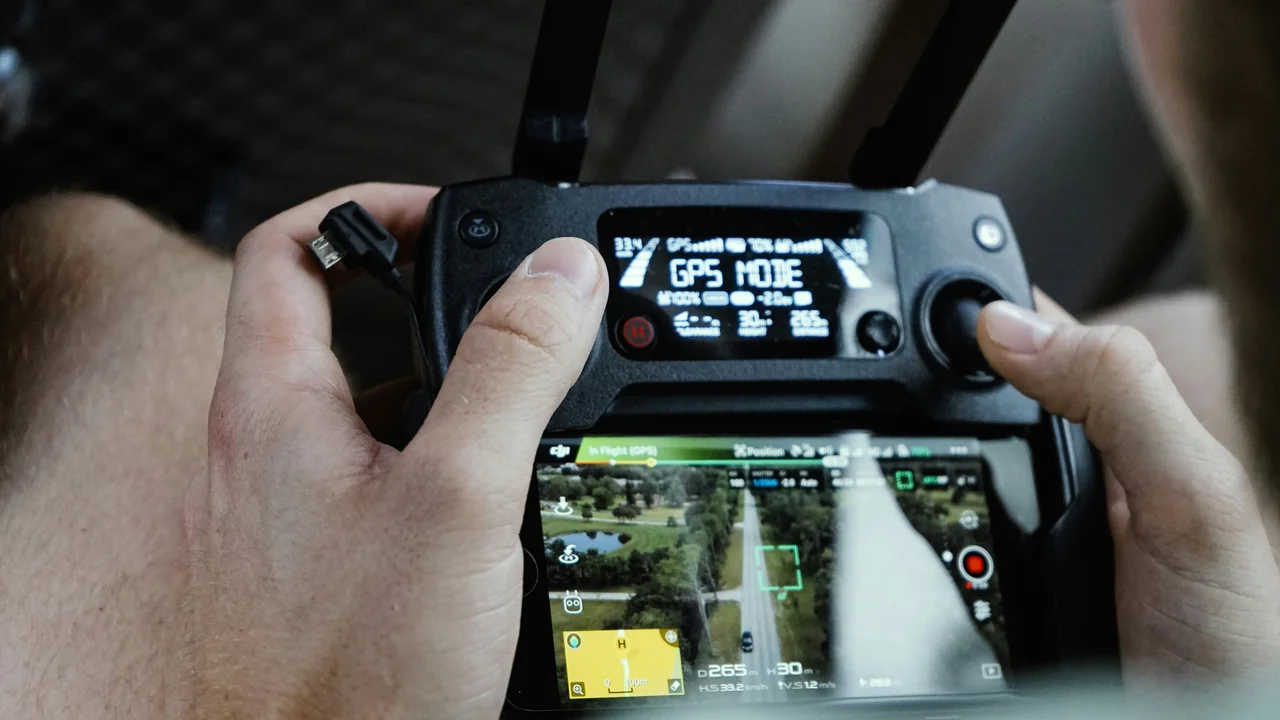
Boise is the largest city in Idaho and home to Boise Airport (BOI), a Class C airspace with a 5-mile radius surface area. Drone laws in Boise are primarily about FAA airspace compliance. You cannot fly within 5 miles of BOI without prior LAANC authorization. The controlled airspace extends outward in a complex shape that covers downtown Boise, the Boise River Greenbelt, and parts of the Boise Foothills. The Idaho State Capitol building and surrounding area are within the controlled zone. You can use the FAA’s B4UFLY app or a No-Fly Zone Checker to see if your intended launch point is in controlled airspace. Many popular spots like Julia Davis Park and the Boise River Greenbelt require LAANC approval before you can fly. Without it, you risk an FAA enforcement action and potential fines.
Mountain Home Air Force Base: Military Restricted Area
Mountain Home Air Force Base (MHAFB) is located about 40 miles southeast of Boise and creates a significant drone restriction zone in south-central Idaho. The base operates with military restricted airspace (R-2301 and R-2302) that extends from the surface up to 18,000 feet. This restricted area covers a large swath of Elmore County and extends into Owyhee County. You cannot fly a drone within the restricted area without prior permission from the base commander. Even if you are outside the formal restricted zone, you should avoid flying near the base perimeter because military aircraft operate at low altitudes during training. The FAA publishes these restricted areas on sectional charts, and they are visible in LAANC apps. If you are planning to fly near the Snake River or the Morley Nelson Snake River Birds of Prey National Conservation Area, check your position relative to MHAFB’s restricted zones.
Sawtooth National Forest: The Stunning Legal Alternative
Sawtooth National Forest, managed by the U.S. Forest Service (USFS), is one of the best places to fly a drone legally in Idaho. The forest covers over 2.1 million acres and includes the iconic Sawtooth Mountains, the Sawtooth Valley, and Redfish Lake. USFS policy generally allows drone operation on national forest land, provided you follow all FAA rules and do not disturb wildlife or other visitors. You can launch from most trailheads, campgrounds, and backcountry areas as long as you are not in a designated Wilderness Area or a developed recreation site with specific prohibitions. The Sawtooth National Recreation Area (SNRA) allows drones, but you must avoid flying over developed campgrounds like Redfish Lake Lodge or Stanley Lake Campground during peak season. The Sawtooth Wilderness Area, however, is off-limits.
Payette National Forest: Generally Open for Drone Flight
Payette National Forest, located west of McCall and south of the Salmon River, is another USFS-managed area where drones are generally allowed. The forest covers over 2.3 million acres and includes the Brundage Mountain ski area and the Little Salmon River corridor. You can fly drones in Payette National Forest as long as you follow FAA rules and avoid Wilderness Areas. The Frank Church-River of No Return Wilderness boundary cuts through the southern portion of the forest, so check your location carefully. The forest also has several airstrips and backcountry landing strips; avoid flying near active aircraft operations.
Nez Perce-Clearwater National Forests: Open Skies with Wilderness Exceptions
The Nez Perce-Clearwater National Forests in north-central Idaho are a massive 4 million-acre expanse that includes the Selway-Bitterroot Wilderness and the Lochsa River corridor. Drones are generally permitted on USFS land within these forests, but you must avoid the Selway-Bitterroot Wilderness and the Gospel Hump Wilderness. The forests are remote and have limited cell service, so download offline maps and check your position relative to Wilderness boundaries before launching. The Lochsa River and the Kelly Creek area are popular for drone flying, but always yield to wildlife and other recreationists.
Sun Valley Area and Friedman Memorial Airport (SUN) Proximity
The Sun Valley area, including Ketchum and Hailey, is a popular destination for adventure tourists. However, Friedman Memorial Airport (SUN) in Hailey creates a Class D airspace that extends to 2,500 feet AGL within a 4.3-mile radius. If you want to fly a drone in the Sun Valley area, you must check your position relative to SUN’s airspace. Most of Ketchum and the Sun Valley Resort are outside the controlled zone, but Hailey and the airport vicinity require LAANC authorization. The Bald Mountain ski area is generally safe to fly from, but avoid flying over the base village during peak hours. The Sawtooth National Forest boundary begins just north of Ketchum, providing legal flying opportunities near Galena Lodge and the headwaters of the Salmon River.
Shoshone Falls: State-Managed Area Rules
Shoshone Falls, often called the “Niagara of the West,” is located on the Snake River near Twin Falls. The falls and the surrounding park are managed by the City of Twin Falls, not the state park system. Twin Falls city ordinance prohibits drone operation within city parks without a special permit. Shoshone Falls Park is a city park, so drone flight is generally not allowed within the park boundaries. You can, however, launch from the Snake River Canyon rim outside the park boundary, as long as you are on public land and follow FAA rules. The BLM-managed land along the canyon rim offers legal launch points with views of the falls from a distance. Always respect the “No Drone” signs posted at the park entrance.
Frank Church-River of No Return Wilderness: Absolute Drone Ban
The Frank Church-River of No Return Wilderness is the largest contiguous Wilderness Area in the lower 48 states, covering over 2.3 million acres in central Idaho. As a designated Wilderness Area under the Wilderness Act of 1964, motorized equipment and mechanical transport, including drones, are strictly prohibited. This ban is absolute and enforced by the U.S. Forest Service and the Bureau of Land Management. You cannot launch, land, or operate a drone anywhere within the Wilderness boundaries. The ban includes the Middle Fork of the Salmon River, the main Salmon River corridor, and all trails and campsites within the Wilderness. Violators face federal citations and fines. If you are planning a rafting trip on the Middle Fork or a backpacking trip into the Wilderness, leave your drone at home.
Legal Idaho Drone Locations
- Sawtooth National Forest (outside Wilderness)
- Payette National Forest (outside Wilderness)
- Nez Perce-Clearwater National Forests (outside Wilderness)
- BLM lands across southern Idaho
- Idaho State Parks (with restrictions)
Banned Idaho Drone Locations
- Craters of the Moon National Monument
- City of Rocks National Reserve
- All NPS-managed sites
- Frank Church-River of No Return Wilderness
- Sawtooth Wilderness Area
How to Check Your Drone’s Weight and Registration Status
Before you fly anywhere in Idaho, confirm whether your drone needs FAA registration. The threshold is 0.55 lbs (250g). Most popular consumer drones like the DJI Mini 4 Pro (under 250g) and the DJI Mini 3 are exempt from registration if flown recreationally. However, if you add any accessories that push the weight over 250g, you must register. Use a Weight Checker tool to verify your drone’s exact takeoff weight with all attached components. For drones over 250g, registration is mandatory before your first flight. The FAA registration sticker must be visible on the drone.
Summary: Your Action Plan for Flying Drones in Idaho in 2026
Idaho offers some of the most stunning drone flying opportunities in the United States, particularly in the Sawtooth National Forest and the Payette National Forest. However, the state also has significant no-fly zones at Craters of the Moon National Monument, City of Rocks National Reserve, and all designated Wilderness Areas like the Frank Church-River of No Return. Your best strategy is to plan your flights around USFS-managed national forests, use a No-Fly Zone Checker before every launch, and always check airspace near Boise, Mountain Home AFB, and Friedman Memorial Airport. For adventure tourists, the Sawtooth Valley near Stanley is your premier legal drone destination. Register your drone if it weighs over 250g, carry your TRUST certificate, and respect all posted signs. Idaho’s remote landscapes are worth capturing, but only if you fly legally and responsibly.
Frequently Asked Questions
Are drones allowed at Craters of the Moon?
No, drones are strictly prohibited at Craters of the Moon National Monument and Preserve. As an NPS-managed site, the launch, landing, and operation of unmanned aircraft are banned across the entire 750,000-acre area. Violators face fines up to $5,000 and potential equipment confiscation. The ban protects both visitor safety and the fragile lava rock ecosystem.
Can I fly a drone in Sawtooth National Forest?
Yes, you can generally fly a drone in Sawtooth National Forest, but you must avoid the Sawtooth Wilderness Area where drones are banned under the Wilderness Act. The forest’s 2.1 million acres outside the Wilderness boundary are open for drone flight as long as you follow FAA rules, including staying at or below 400 feet AGL and not disturbing wildlife or other visitors. Popular launch points include trailheads near Redfish Lake and the Sawtooth Valley.
What are the drone rules in Boise?
Drone rules in Boise are primarily about FAA airspace compliance near Boise Airport (BOI), which is Class C airspace. You must obtain LAANC authorization before flying within 5 miles of BOI. This controlled zone covers downtown Boise, the Boise River Greenbelt, and parts of the Boise Foothills. Always use the B4UFLY app or a no-fly zone checker to confirm your launch point is legal before flying.
Are drones legal in Idaho State Parks?
Yes, drones are generally legal in Idaho State Parks managed by the Idaho Department of Parks and Recreation, but with restrictions. You cannot fly over campgrounds, picnic areas, or developed facilities, and you must maintain a distance of at least 500 feet from park buildings. Some parks like Ponderosa State Park have additional local restrictions. Always check with the specific park office before flying.
Can I fly a drone in the Sun Valley area?
Yes, you can fly a drone in the Sun Valley area, but you must be aware of Friedman Memorial Airport (SUN) in Hailey, which has Class D airspace extending 4.3 miles out. Most of Ketchum and the Sun Valley Resort are outside this controlled zone, but Hailey requires LAANC authorization. The Bald Mountain ski area and the surrounding Sawtooth National Forest offer legal flying options.
What is the drone law in Idaho?
Idaho drone law is a combination of federal FAA regulations and local land management policies. The FAA sets the baseline rules: registration for drones over 250g, 400-foot altitude limit, visual line of sight, and airspace compliance. Idaho has no statewide drone preemption law, so local restrictions from the NPS, USFS, and state parks apply. The key is to know which agency manages the land you want to fly over.
Last updated: June 25, 2026
- Federal Aviation Administration (faa.gov)
- National Park Service – Unmanned Aircraft Policy
- U.S. Forest Service – Drone Use on National Forests
- Idaho Department of Parks and Recreation – Drone Policy
- Wilderness Act of 1964
Drone Allowed
DroneAllowed editor covering drone regulations, aviation law, and aerial photography across USA, UK, Canada & Australia.