
Louisiana Drone Laws 2026: New Orleans, Bayous & Rules
 13 min read
2,546 words
13 min read
2,546 words
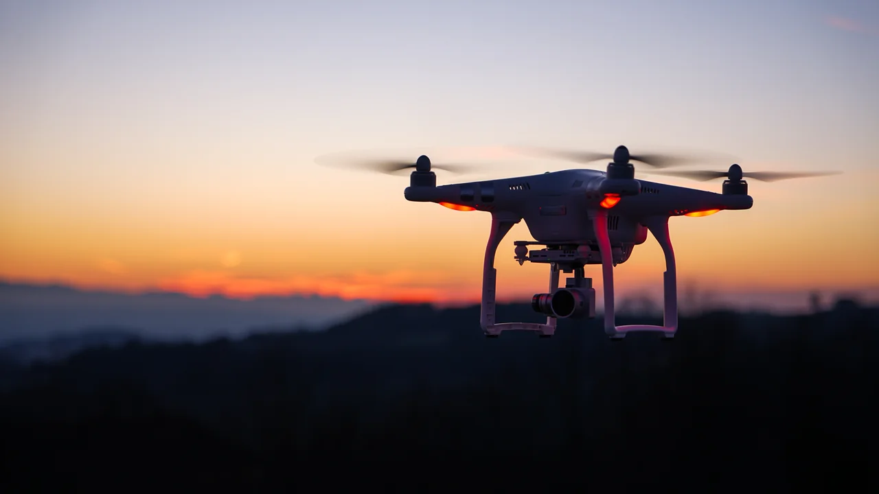
If you are planning to fly a drone in Louisiana in 2026, you need to understand a complex web of federal, state, and local rules that govern everything from the bayous of the Atchafalaya Basin to the French Quarter in New Orleans. Louisiana drone laws are shaped by the FAA’s national framework, but state-specific statutes, city ordinances, and federal land restrictions create unique challenges for pilots. This guide covers the essential rules for flying in New Orleans, Baton Rouge, the bayous, and beyond, so you can fly legally and avoid fines.
What Are the Federal FAA Drone Laws You Must Follow in Louisiana?
The Federal Aviation Administration (FAA) sets the baseline for all drone operations in the United States, including Louisiana. Every pilot must adhere to these fundamental rules regardless of where they fly in the state.
FAA Registration and Remote ID Requirements
If your drone weighs more than 0.55 pounds (250 grams), you must register it with the FAA through the FAA DroneZone. The registration fee is $5 and is valid for three years. Additionally, as of September 16, 2023, all drones requiring registration must comply with the FAA’s Remote ID rule. This broadcasts your drone’s location and identification, acting like a digital license plate. You can use our Weight Checker to confirm if your model needs registration.
Part 107 License for Commercial Operations
Anyone flying a drone for commercial purposes—including real estate photography, agricultural surveys, or paid aerial footage of New Orleans landmarks—must hold an FAA Part 107 Remote Pilot Certificate. Recreational flyers must pass the TRUST (The Recreational UAS Safety Test) and carry proof of completion. Both commercial and recreational pilots must always yield to manned aircraft and keep the drone within visual line of sight.
Altitude Limits and Airspace Rules
The maximum altitude is 400 feet above ground level (AGL), unless your drone is within 400 feet of a structure. Controlled airspace around airports like Louis Armstrong New Orleans International Airport (MSY) and Baton Rouge Metropolitan Airport (BTR) requires LAANC (Low Altitude Authorization and Notification Capability) approval before flying. Use our No-Fly Zone Checker to verify airspace restrictions before every flight.
What Is Louisiana’s Critical Infrastructure Drone Ban (RS 14:337)?
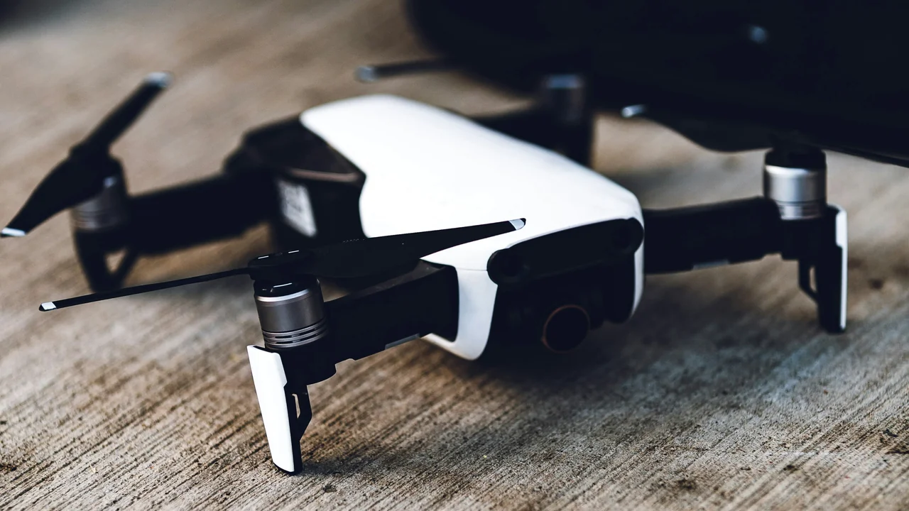
Louisiana Revised Statute 14:337 is a state law that specifically prohibits drone flights over critical infrastructure. This is one of the most important Louisiana drone laws for pilots to understand, especially given the state’s heavy concentration of oil, gas, and chemical facilities.
What Does RS 14:337 Cover?
The law bans operating a drone within 400 feet of any critical infrastructure facility. This includes oil refineries, chemical plants, power plants, electrical substations, water treatment facilities, and natural gas compressor stations. Given Louisiana’s industrial corridor along the Mississippi River between Baton Rouge and New Orleans, many areas are effectively no-fly zones under this statute. Violating RS 14:337 is a misdemeanor punishable by up to six months in jail and a $500 fine.
How to Identify Critical Infrastructure Before Flying
Look for “No Drone Zone” signage, chain-link fencing, and security cameras. The U.S. Department of Homeland Security maintains a list of critical infrastructure sectors, but the simplest approach is to avoid flying near any industrial facility, pipeline, or refinery. If you are unsure, check FAA Sectional Charts and local zoning maps.
Can You Fly a Drone in New Orleans? Drone Laws New Orleans
New Orleans is a major tourist destination, and drone laws New Orleans are a common question. The city has specific ordinances that supplement federal and state rules, particularly in densely populated areas.
Flying Near Louis Armstrong New Orleans International Airport (MSY)
MSY is a Class C airport with a controlled airspace extending 5 nautical miles from the airport. You must obtain LAANC authorization before flying in this zone. The airspace is divided into concentric rings with altitude limits ranging from 0 feet near the runways to 400 feet at the outer edges. Most of the French Quarter and downtown New Orleans fall within this controlled airspace, requiring prior approval.
New Orleans French Quarter and City Park Ordinances
The City of New Orleans has a municipal ordinance that prohibits drone takeoffs, landings, and operations in city parks without a special events permit. This includes City Park, Audubon Park, and the French Quarter. While the FAA controls the airspace, the city regulates the ground. If you launch from a sidewalk or street in the French Quarter, you risk a local citation. The safest approach is to fly from private property with the owner’s permission or from areas outside city park boundaries.
What Are the Drone Rules for Louisiana Bayous and Swamps?
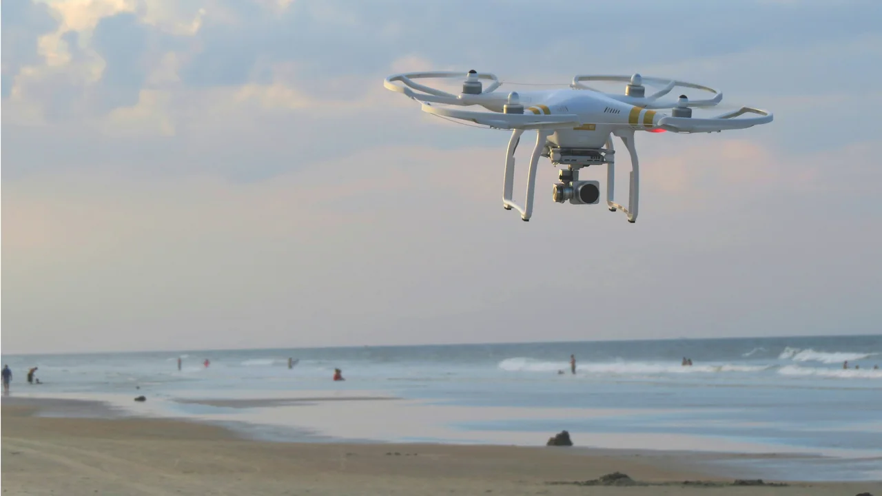
Louisiana’s bayous and swamps, particularly the Atchafalaya Basin, offer spectacular aerial photography opportunities. Drone rules Louisiana bayou areas depend on whether you are over public or private land.
Flying Over the Atchafalaya Basin
The Atchafalaya Basin is the largest swamp in the United States, and much of it is public land managed by the Louisiana Department of Wildlife and Fisheries (LDWF) and the U.S. Army Corps of Engineers. You can fly a drone over these public waters and swamps as long as you follow FAA rules. However, you cannot launch from or land on LDWF wildlife management areas without a special permit. The basin is also dotted with private hunting camps and oil wells, which you must avoid under RS 14:337.
Lake Pontchartrain
Lake Pontchartrain is largely open water, and drone flights over the lake are generally permitted under FAA rules. The lake is outside the immediate controlled airspace of MSY, but the southern shore near New Orleans and the Lakefront Airport (KNEW) has restrictions. Be aware of the Lake Pontchartrain Causeway bridge—flying over moving traffic is prohibited by FAA rules, and the bridge itself is a critical transportation structure. Always maintain visual line of sight and avoid flying over boats or swimmers.
Are Drones Allowed in Louisiana State Parks and National Parks?
Louisiana has several federal and state parks with strict drone bans. Understanding these restrictions is critical for pilots visiting Cane River Creole National Historical Park, Jean Lafitte National Historical Park, and state parks.
Cane River Creole National Historical Park
The Cane River Creole National Historical Park near Natchitoches is managed by the National Park Service (NPS). NPS policy bans the launching, landing, or operation of drones within park boundaries. This includes the Oakland and Magnolia Plantations. The ban applies even if you launch from outside the park and fly over it. Violators face fines up to $5,000 and potential confiscation of equipment.
Jean Lafitte National Historical Park and Preserve
Jean Lafitte National Historical Park and Preserve, which includes the Barataria Preserve south of New Orleans and the Chalmette Battlefield, also prohibits drone operations under NPS regulations. The preserve’s swamps and marshes are tempting for aerial photography, but the ban is absolute. The only exception is for official park research or emergency response operations.
Louisiana State Parks and the LDWF Policy
The Louisiana Department of Wildlife and Fisheries (LDWF) manages state parks and wildlife management areas. While state parks do not have a blanket drone ban, individual park superintendents can impose restrictions. Most state parks require prior written authorization for drone use. Atchafalaya National Wildlife Refuge and other U.S. Fish and Wildlife Service lands also prohibit drones unless you obtain a special use permit. Always contact the park office before flying.
| Location | Drone Policy | Notes |
|---|---|---|
| Cane River Creole NHP | Banned | NPS regulation, $5,000 fine |
| Jean Lafitte NHP | Banned | Includes Barataria Preserve |
| Louisiana State Parks | Permit required | Contact park superintendent |
| Atchafalaya Basin (public land) | Generally allowed | Avoid private property and facilities |
| Lake Pontchartrain | Allowed | Watch for airspace near Lakefront Airport |
What Are the Drone Laws in Baton Rouge, Louisiana?
Drone laws Baton Rouge Louisiana are influenced by the presence of the Baton Rouge Metropolitan Airport (BTR), the LSU airport, and the industrial corridor along the Mississippi River.
Baton Rouge Airspace (BTR and LSU Airport)
BTR is a Class C airport with a controlled airspace radius of 5 nautical miles. LAANC authorization is required for any flight within this zone. The LSU Airport (KDTN) is a general aviation airport with a Class D airspace that also requires authorization. Much of downtown Baton Rouge, the Louisiana State Capitol, and LSU’s campus fall within these controlled zones. Check the FAA’s B4UFLY app before every flight.
Industrial Corridor and RS 14:337
Baton Rouge is home to numerous petrochemical plants along the Mississippi River. The ExxonMobil Baton Rouge Refinery and other facilities are critical infrastructure under RS 14:337. You cannot fly within 400 feet of these plants, which effectively bans drone flights over large portions of the riverfront industrial area. If you are flying near the Mississippi River in Baton Rouge, stay well clear of any industrial fencing or structures.
Are There Military Restrictions Near Barksdale Air Force Base?
Barksdale Air Force Base (BAD) near Shreveport is a major military installation. The airspace around Barksdale is restricted and often includes Temporary Flight Restrictions (TFRs) that can extend for miles. You must check NOTAMs (Notices to Air Missions) before flying anywhere in northwest Louisiana. Flying near Barksdale without authorization can result in interception by military aircraft and federal prosecution.
Summary: Flying Legally in Louisiana in 2026
Louisiana offers incredible drone photography opportunities, from the haunting beauty of the Atchafalaya Basin swamps to the vibrant streets of New Orleans. To fly legally, you must respect the FAA’s federal baseline, Louisiana’s RS 14:337 critical infrastructure ban, and local ordinances in New Orleans and Baton Rouge. Always check airspace with the No-Fly Zone Checker before launching, and never assume that open water or swamp land is unrestricted—private property and industrial facilities are everywhere. For recreational pilots, take the TRUST test and carry proof. For commercial pilots, hold your Part 107 certificate. Plan your flights around public land, avoid national parks and state parks without permits, and you will capture stunning footage without legal trouble.
Frequently Asked Questions
Are drones allowed in New Orleans?
Drones are allowed in New Orleans, but with significant restrictions. You must obtain LAANC authorization to fly in the controlled airspace around Louis Armstrong New Orleans International Airport (MSY), which covers most of the city. Additionally, New Orleans city ordinances prohibit taking off or landing from city parks and public property, including the French Quarter. You can legally fly over the city from private property with permission, but you cannot launch from sidewalks, streets, or city parks without a special events permit.
Can I fly a drone in the Louisiana bayou?
Yes, you can fly a drone in many parts of the Louisiana bayou, particularly over public waterways like the Atchafalaya Basin. However, you must avoid flying within 400 feet of critical infrastructure such as oil wells, pipelines, and chemical plants under Louisiana RS 14:337. You also cannot launch from or land on LDWF wildlife management areas without a permit. The bayou is a mix of public and private land, so always verify ownership and avoid industrial structures.
What are the drone laws in Baton Rouge?
Drone laws in Baton Rouge require LAANC authorization for flights within the controlled airspace of Baton Rouge Metropolitan Airport (BTR) and LSU Airport (KDTN). The city’s industrial corridor along the Mississippi River is heavily restricted under Louisiana’s critical infrastructure law, which bans flights within 400 feet of refineries and chemical plants. Downtown Baton Rouge, the State Capitol, and LSU campus all fall within controlled airspace. Always check the FAA’s B4UFLY app before flying.
Are drones banned in Jean Lafitte National Park?
Yes, drones are banned in Jean Lafitte National Historical Park and Preserve. The National Park Service prohibits the launching, landing, or operation of drones within park boundaries, including the Barataria Preserve and the Chalmette Battlefield. Violating this ban can result in fines up to $5,000 and potential confiscation of your drone. The only exceptions are for official park research or emergency operations.
Can I fly a drone over Lake Pontchartrain?
Yes, you can fly a drone over Lake Pontchartrain, as it is largely open water under FAA jurisdiction. However, you must avoid the Lake Pontchartrain Causeway bridge, as flying over moving traffic is prohibited by FAA rules. The southern shore near New Orleans and the Lakefront Airport (KNEW) has controlled airspace that requires LAANC authorization. Also, be aware of private property along the lake’s shoreline and avoid flying over boats or swimmers.
What is Louisiana’s critical infrastructure drone law?
Louisiana Revised Statute 14:337 prohibits operating a drone within 400 feet of critical infrastructure facilities. This includes oil refineries, chemical plants, power plants, electrical substations, water treatment facilities, and natural gas compressor stations. Violating this law is a misdemeanor punishable by up to six months in jail and a $500 fine. Given Louisiana’s abundance of oil and gas facilities along the Mississippi River, this law significantly restricts drone flights in industrial areas.
Do I need to register my drone in Louisiana?
Yes, if your drone weighs more than 0.55 pounds (250 grams). Register with the FAA at faadronezone-access.faa.gov. Louisiana does not have a separate state registration system.
Can I fly a drone over the Mississippi River in Louisiana?
Yes, but only in areas where the river is not adjacent to critical infrastructure. Avoid flying over or near refineries, chemical plants, and industrial docks. The river itself is navigable airspace, but state law restricts flights over industrial facilities.
What is the fine for flying a drone in a Louisiana state park?
The fine is up to $500, and you may be removed from the park. Repeat violations can result in a ban from all state parks.
Can I fly a drone at Mardi Gras in New Orleans?
No. The FAA issues Temporary Flight Restrictions (TFRs) for Mardi Gras parades and the Superdome. Flying during Mardi Gras can lead to FAA enforcement and Secret Service involvement.
Are there any drone-friendly places in Louisiana?
Yes. Rural farmland in Acadiana, open areas in Kisatchie National Forest (outside of designated wilderness), and Lake Pontchartrain (away from the Causeway and airports) are generally drone-friendly if you follow FAA rules and avoid restricted zones.
Last updated: June 25, 2026
- Federal Aviation Administration (faa.gov)
- Louisiana Revised Statute 14:337
- National Park Service (nps.gov)
- City of New Orleans Municipal Code
- Louisiana Department of Wildlife and Fisheries
Drone Allowed
DroneAllowed editor covering drone regulations, aviation law, and aerial photography across USA, UK, Canada & Australia.