
Great Smoky Mountains Drone Laws 2026: NPS Ban & Nearby Options
 10 min read
1,997 words
10 min read
1,997 words
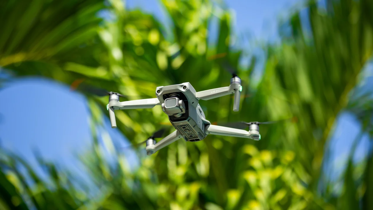
If you are planning a trip to the Great Smoky Mountains and want to bring your drone, you need to understand the strict Great Smoky Mountains drone laws and the NPS ban before you pack your gear. This guide covers exactly where you cannot fly inside the national park, where you can legally launch nearby in Gatlinburg and the surrounding national forests, and what the FAA and tribal authorities require. By the end, you will know how to capture stunning mountain footage without risking a federal fine or confiscation of your aircraft.
Are Drones Allowed in Great Smoky Mountains National Park?
No. The National Park Service (NPS) has a blanket ban on the launch, landing, and operation of unmanned aircraft—including drones—within the boundaries of Great Smoky Mountains National Park. This prohibition is enforced under 36 CFR § 1.5, and it applies to all types of drones, regardless of weight, size, or purpose. Whether you fly a DJI Mini 4 Pro under 250 grams or a heavy cinema drone, the ban is absolute.
This ban covers all 522,419 acres of the park, including trails, overlooks, campgrounds, and backcountry zones. The NPS policy exists to protect wildlife, preserve visitor solitude, and prevent interference with search-and-rescue operations. As the most visited national park in the United States—attracting over 12 million visitors annually—the strict enforcement makes sense from a safety and conservation standpoint.
Where Can You Fly a Drone Near the Smoky Mountains?
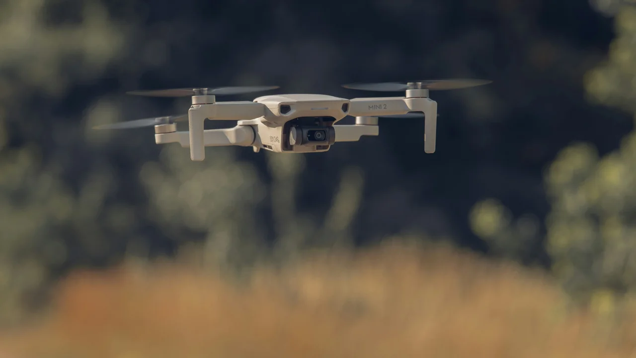
While the park itself is off-limits, the surrounding region offers excellent legal options. The key is understanding land jurisdiction: NPS land is banned, but U.S. Forest Service (USFS) land, private property, and town land are generally open for recreational drone flight following FAA rules.
Drone Rules in Gatlinburg, Tennessee
Gatlinburg sits just outside the park’s northern boundary and is a prime launch point for mountain views. The city of Gatlinburg does not have a municipal drone ordinance, meaning you can fly over public spaces like downtown streets, the Gatlinburg SkyLift area, and the Gatlinburg Trail—as long as you stay within FAA guidelines. However, you must respect private property rights and avoid flying directly over crowds or moving vehicles.
Gatlinburg is not controlled airspace, so LAANC authorization is not required for recreational flights. However, you still need to register your drone with the FAA if it weighs more than 0.55 lbs (250g) and follow all standard recreational rules, including keeping the drone within visual line of sight and below 400 feet AGL.
Can You Fly in Pigeon Forge, Tennessee?
Pigeon Forge, located just west of Gatlinburg, is also outside NPS jurisdiction. The city has no specific drone ban, so recreational flights are permitted over public areas like the Pigeon Forge Parkway and The Island in Pigeon Forge. Again, avoid flying over theme parks like Dollywood without prior permission, as those are private properties with their own rules. Pigeon Forge is a good alternative if Gatlinburg feels too crowded.
Cherokee, North Carolina: Tribal Land Rules
Cherokee sits on the Qualla Boundary, which is sovereign land owned by the Eastern Band of Cherokee Indians. This is not NPS land, but the tribe has its own drone regulations. As of 2026, the Cherokee Tribal Council has not enacted a blanket drone ban, but you must check with the Cherokee Visitor Center before flying. Some cultural sites like the Oconaluftee Indian Village and the Museum of the Cherokee Indian may restrict drone use. Always fly with cultural sensitivity and respect posted signage.
Drone Laws on the Blue Ridge Parkway
The Blue Ridge Parkway runs through the Smoky Mountains region and is managed by the NPS. Therefore, the same drone ban applies here. You cannot launch, land, or operate a drone anywhere along the 469-mile parkway, including overlooks, picnic areas, and visitor centers. This includes the popular section near the Great Smoky Mountains National Park entrance at Oconaluftee. If you see a scenic overlook with a Blue Ridge Parkway sign, keep your drone in its case.
National Forests Near the Smoky Mountains: Open for Drone Flight
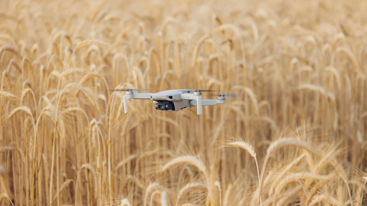
This is where you get your best legal flight opportunities. The U.S. Forest Service (USFS) generally permits drone operations on national forest land, provided you follow FAA regulations and do not interfere with wildlife or other visitors. Three major national forests surround the Smokies.
Cherokee National Forest (Tennessee Side)
Spanning over 650,000 acres along the Tennessee side of the Smokies, Cherokee National Forest is open for recreational drone flight. Popular launch points include the Ocoee River area, the Big Frog Wilderness boundary, and the Tellico River Road. Be aware that wilderness areas within the forest may have additional restrictions—check the USFS website for the specific district you plan to visit.
Pisgah National Forest (North Carolina Side)
Pisgah National Forest covers over 500,000 acres in western North Carolina, including areas near Asheville and the Blue Ridge Parkway. Most of Pisgah is open for drone flight, with the exception of designated wilderness areas and developed recreation sites like campgrounds and picnic areas. The Looking Glass Rock area and the Cradle of Forestry are popular spots, but always verify local signage.
Nantahala National Forest (North Carolina Side)
Nantahala National Forest, which includes the Nantahala Gorge and the Appalachian Trail corridor, is generally open for drone operations. The forest is less crowded than the national park, offering quieter airspace. Avoid flying over the Nantahala River during rafting season to prevent conflicts with commercial operations. The USFS does not require a permit for recreational drone use, but you must follow all FAA rules.
Tennessee State Drone Laws You Must Know
Tennessee has a few state-level drone laws that apply even when you are flying outside the national park. The Tennessee Drone Privacy Act (Tenn. Code Ann. § 39-13-903) makes it illegal to use a drone to capture images of individuals on private property without their consent if the person has a reasonable expectation of privacy. This law applies in Gatlinburg, Pigeon Forge, and Cherokee National Forest.
Additionally, Tennessee law prohibits flying a drone over critical infrastructure such as power plants, dams, and correctional facilities. While the Smoky Mountains region does not have many of these, be aware if you fly near the Douglas Dam or the Gatlinburg water treatment plant. The FAA retains exclusive jurisdiction over airspace, so state laws cannot override federal airspace rules.
How to Fly Legally Near the Smoky Mountains: Step-by-Step
Use the Weight Checker to see if your drone requires FAA registration. Any drone over 0.55 lbs (250g) must be registered on the FAA DroneZone for $5 (valid 3 years).
Use the No-Fly Zone Checker to confirm you are not in restricted airspace. The Smoky Mountains area is Class G uncontrolled airspace, so no LAANC authorization is needed.
Pick a spot on USFS land (Cherokee, Pisgah, or Nantahala National Forest) or in Gatlinburg/Pigeon Forge. Avoid all NPS land including the park and Blue Ridge Parkway.
Keep your drone below 400 feet AGL, maintain visual line of sight, yield to manned aircraft, and do not fly over people or moving vehicles. Recreationally, you must pass the TRUST test.
What About Clingmans Dome and Other Popular Spots?
Clingmans Dome, the highest point in the Great Smoky Mountains at 6,643 feet, is within the national park and therefore fully banned for drone flight. The same applies to Cades Cove, Newfound Gap, Roaring Fork Motor Nature Trail, and the Alum Cave Trail. Even if you are on a trail that exits the park temporarily, you cannot launch from park land. The only exception would be if you are on private property adjacent to the park and your drone stays entirely over that private land—but this is risky and hard to enforce.
Final Thoughts: Where to Fly for Great Smoky Mountain Views
Your best bet for capturing stunning aerial footage of the Smoky Mountains is to launch from the Cherokee National Forest on the Tennessee side or the Pisgah National Forest on the North Carolina side. Both offer open airspace, minimal restrictions, and views that rival the park itself. Gatlinburg and Pigeon Forge are convenient options if you are staying in town, but be mindful of private property and crowds. Always use the No-Fly Zone Checker before any flight to confirm you are not near restricted areas. The NPS ban is strictly enforced, so keep your drone out of the park boundaries entirely.
Frequently Asked Questions
Are drones allowed in the Great Smoky Mountains?
No. The National Park Service has a complete ban on drones inside Great Smoky Mountains National Park. This applies to all trails, overlooks, campgrounds, and backcountry areas regardless of drone weight or purpose. Violating this ban can result in fines up to $5,000 and confiscation of your equipment.
Can I fly a drone in Gatlinburg Tennessee?
Yes, Gatlinburg has no municipal drone ban, so you can fly over public spaces like downtown streets and the Gatlinburg Trail. However, you must follow FAA rules including keeping your drone under 400 feet AGL and within visual line of sight. Avoid flying over crowds or private property without permission.
What are the drone rules at Clingmans Dome?
Clingmans Dome is inside Great Smoky Mountains National Park, so drones are strictly banned. You cannot launch, land, or operate a drone anywhere on the Clingmans Dome Road, parking area, or observation tower. The NPS enforces this ban with regular patrols.
Can I fly near the Smokies on national forest land?
Yes. The U.S. Forest Service generally permits recreational drone flight on Cherokee National Forest (Tennessee), Pisgah National Forest (North Carolina), and Nantahala National Forest (North Carolina). Avoid designated wilderness areas and developed recreation sites. You still need to register your drone with the FAA if it weighs over 0.55 lbs.
Are drones banned on the Blue Ridge Parkway?
Yes. The Blue Ridge Parkway is managed by the National Park Service, so the same drone ban applies. You cannot operate a drone from any overlook, picnic area, or visitor center along the parkway, including sections near the Great Smoky Mountains entrance at Oconaluftee.
Where can I fly a drone near the Smoky Mountains?
You can legally fly in Gatlinburg and Pigeon Forge, Tennessee, as well as in Cherokee National Forest, Pisgah National Forest, and Nantahala National Forest. These areas are outside NPS jurisdiction and offer excellent mountain views. Always check with tribal authorities in Cherokee, North Carolina, before flying on the Qualla Boundary.
Last updated: June 25, 2026
- National Park Service – Great Smoky Mountains National Park Superintendent’s Compendium
- FAA DroneZone – Recreational Flyer Registration
- U.S. Forest Service – Cherokee, Pisgah, and Nantahala National Forests Drone Policy
- Tennessee Code Annotated § 39-13-903 (Drone Privacy Act)
Drone Allowed
DroneAllowed editor covering drone regulations, aviation law, and aerial photography across USA, UK, Canada & Australia.