
Arkansas Drone Laws 2026: Ozarks, Hot Springs & FAA Rules
 14 min read
2,651 words
14 min read
2,651 words
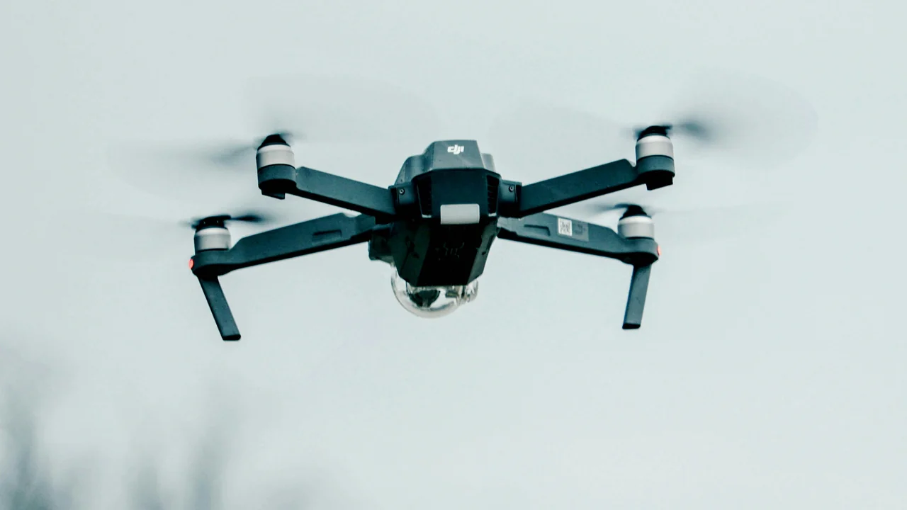
If you are planning to fly a drone in Arkansas in 2026, you need to understand how federal FAA rules intersect with a patchwork of state and local restrictions, especially around the Ozarks, Hot Springs, and the Buffalo National River. This guide covers the Arkansas drone laws you must know, from registration requirements to specific no-fly zones in state parks and national forests. You will learn where you can legally fly, what permits you might need, and how to avoid costly fines while capturing stunning aerial footage of The Natural State.
What Are the Federal FAA Drone Rules That Apply in Arkansas?
Before looking at Arkansas-specific laws, you must comply with the FAA’s baseline requirements. These rules apply to every drone flight in the United States, including all of Arkansas.
Registration and the Remote ID Rule
Any drone weighing more than 0.55 pounds (250 grams) must be registered with the FAA through the FAA DroneZone. The registration costs $5 and is valid for three years. You must mark your drone with the issued registration number before your first flight. Since 2024, all drones requiring registration must also broadcast Remote ID, which transmits your drone’s location and ID to authorities. If your drone lacks built-in Remote ID, you can attach a broadcast module.
Part 107 vs. Recreational Flying
If you fly for any purpose beyond pure recreation — including real estate photography, agricultural surveys, or paid work — you need a Part 107 Remote Pilot Certificate. Recreational flyers must pass The Recreational UAS Safety Test (TRUST) and carry proof of completion. Both recreational and commercial pilots must yield to manned aircraft and keep the drone within visual line of sight.
Are Drones Allowed in Hot Springs National Park?
Hot Springs National Park is one of the smallest and most visited national parks in the country, drawing millions to its historic bathhouses and hiking trails. Many visitors are surprised to learn that drone flight is strictly prohibited here.
National Park Service Ban on Drones
The National Park Service (NPS) banned drones in all national parks under Policy Memorandum 14-05. Hot Springs National Park enforces this ban without exception. You cannot launch, land, or operate a drone from any location within park boundaries, including parking lots, trails, and the Hot Springs Mountain Tower area. The ban applies even if you are flying for commercial purposes with a Part 107 license.
Your best alternative for aerial views of the Hot Springs area is to fly on adjacent national forest land. The Ouachita National Forest surrounds the park on three sides and generally permits drone flight under USFS rules, which we cover below.
What Are the Drone Rules at Buffalo National River?
Buffalo National River was the first designated national river in the United States, known for its towering limestone bluffs and clear water. Like all NPS units, drones are banned throughout the river corridor.
Enforcement Along the River
The ban covers the entire 135-mile length of the Buffalo National River, from the headwaters in the Boston Mountains to its confluence with the White River. This includes all developed areas like the Tyler Bend Visitor Center, Pruitt Landing, and the Steel Creek Campground. Rangers patrol by boat and vehicle during peak season, especially around the popular floating stretches near Ponca and Jasper.
If you want to capture aerial footage of the Ozarks scenery similar to the Buffalo River, consider flying in the Ozark National Forest, which borders much of the river’s southern edge. You must launch from outside the NPS boundary and ensure your drone never crosses into the national river airspace.
What Is the Drone Policy for Arkansas State Parks?
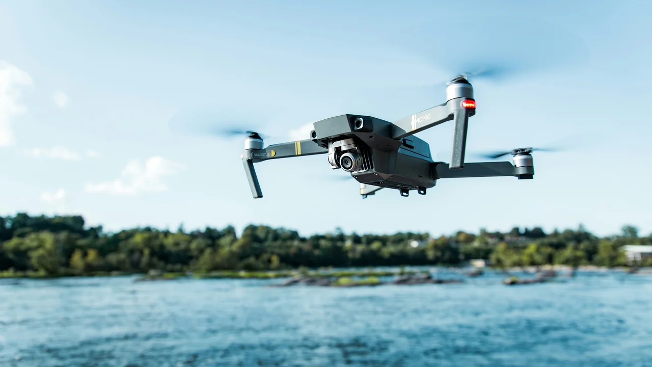
Arkansas State Parks are managed by the Arkansas Department of Parks, Heritage and Tourism (ADPHT). Unlike federal lands, state parks do not have a blanket drone ban, but they do require a permit.
Applying for a State Park Drone Permit
To fly a drone in any Arkansas state park, you must obtain a special use permit from the park superintendent. The permit process typically requires you to specify the date, time, and purpose of your flight. Permits are generally granted for commercial photography, educational projects, and search-and-rescue training. Recreational flights are rarely approved, especially during busy weekends at parks like Petit Jean State Park, Mount Magazine State Park, and Devil’s Den State Park.
Call or email the park where you intend to fly. Explain your project and requested dates.
Provide your FAA registration number, Part 107 certificate (if commercial), and proof of insurance.
Processing can take 10–14 business days. Do not fly without a signed permit.
Can You Fly a Drone in Little Rock Airspace?
Little Rock airspace presents unique challenges due to the presence of Clinton National Airport (LIT) and multiple smaller airfields. Understanding the airspace class is critical before launching.
Clinton National Airport and Class C Airspace
Little Rock’s primary airport operates under Class C airspace, which extends from the surface to 4,000 feet within a 5-mile radius, with an outer shelf reaching 10 miles. You cannot fly a drone in this airspace without prior authorization from the FAA through the LAANC system. Popular downtown areas like the River Market District and the Arkansas River Trail fall partially within this controlled zone.
Use the No-Fly Zone Checker before any flight in Pulaski County to confirm whether your planned location requires LAANC approval. The app will show you real-time airspace restrictions and help you submit authorization requests.
Drone Laws in Little Rock City Parks
The City of Little Rock does not have a specific ordinance banning drones in city parks, but the city manager can restrict operations in any park if they create a hazard or nuisance. Avoid flying near crowded areas like the Big Dam Bridge, Two Rivers Park, and the Little Rock Zoo. Always respect privacy and avoid overflying private residences.
What About Fort Smith Airspace (FSM)?
Fort Smith Regional Airport (FSM) operates under Class D airspace, which is less restrictive than Class C but still requires authorization for flights within the controlled zone. The Class D airspace at FSM extends from the surface to 2,500 feet within a 4.2-mile radius.
The historic Fort Smith National Historic Site is managed by the NPS, so drones are banned on that property. However, the surrounding downtown area and the Arkansas River waterfront are generally open for drone flight, provided you stay below 400 feet and remain clear of the airport approach paths.
Are Drones Allowed in the Ozark and Ouachita National Forests?
The Ozark National Forest and the Ouachita National Forest are the best legal alternatives for capturing stunning Ozarks scenery. The U.S. Forest Service (USFS) generally permits drone flight on national forest land, with some important restrictions.
USFS Drone Rules for the Ozarks
You can fly a drone in the Ozark National Forest as long as you follow FAA rules and do not interfere with wildlife, visitors, or forest management activities. The forest covers over 1.2 million acres, including popular areas like the Whitaker Point (Hawksbill Crag) trail, the Buffalo River trail system, and the Mulberry River corridor.
Ouachita National Forest Flight Zones
The Ouachita National Forest spans west of Hot Springs into Oklahoma. Drone flight is permitted throughout most of the forest, including the Talimena Scenic Drive area and Lake Ouachita Vista. Avoid flying near active logging operations or wildfire response areas, as temporary flight restrictions (TFRs) are common during fire season.
What Are the Drone Rules Along the Arkansas River Corridor?
The Arkansas River flows through the heart of the state, passing Little Rock, Fort Smith, and Pine Bluff. The river corridor is managed by the U.S. Army Corps of Engineers (USACE), which has its own drone policy.
USACE allows drone flight over most Corps-managed lands and waterways, but prohibits operations near dams, locks, and navigation structures. You must maintain a distance of at least 100 feet from any Corps facility. Popular recreation areas like the Murray Lock and Dam near Little Rock and the David D. Terry Lock and Dam are off-limits for drone launch and landing.
Can You Fly a Drone in the White River National Wildlife Refuge?
The White River National Wildlife Refuge, located in eastern Arkansas near the Mississippi River, is managed by the U.S. Fish and Wildlife Service (USFWS). Drone flight is prohibited on all national wildlife refuges unless you obtain a special use permit for scientific research or official photography.
The refuge covers over 160,000 acres of bottomland hardwood forest and is a critical habitat for migratory birds. The ban is strictly enforced by refuge officers, especially during waterfowl hunting season from November to February. If you want to photograph the refuge from above, consider flying from a boat on the White River outside the refuge boundary, ensuring your drone never crosses into the designated area.
How to Check Your Drone’s Weight for Registration
Many popular drones sold in 2026, including the DJI Mini 4 Pro and the Autel Nano series, weigh under 250 grams. If your drone is under this threshold, you do not need to register it with the FAA, but you still must follow all other rules, including altitude limits and airspace restrictions.
Use the Weight Checker to confirm your drone’s classification. The tool accounts for added accessories like propeller guards, landing gear, and payloads, which can push a sub-250g drone over the limit.
Summary of Arkansas Drone Laws 2026
Arkansas offers diverse flying opportunities, but the rules vary dramatically by location. Here is your actionable takeaway: fly in the Ozark or Ouachita National Forests for the best legal scenery, avoid all NPS land including Hot Springs and Buffalo National River, and obtain a permit before flying in any Arkansas state park. Always check airspace near Little Rock and Fort Smith using the No-Fly Zone Checker before launching. When in doubt, call the local land manager — a five-minute phone call can save you a $5,000 fine.
Frequently Asked Questions
Are drones allowed in Hot Springs National Park?
No, drones are strictly prohibited in Hot Springs National Park under the National Park Service’s nationwide ban. This includes all park areas such as Bathhouse Row, Hot Springs Mountain, and the surrounding trails. Violators face fines up to $5,000 and possible equipment confiscation. The nearest legal flying location is the adjacent Ouachita National Forest.
Can I fly a drone at Buffalo National River?
No, drones are banned throughout the entire Buffalo National River corridor, from the headwaters to the White River confluence. This includes all visitor centers, campgrounds, and launch points. The ban is enforced by NPS rangers who patrol the river by boat during peak season. Your best alternative for aerial photos of the Ozarks is the Ozark National Forest, which borders much of the river’s southern edge.
What are the drone rules in Little Rock?
Little Rock airspace is controlled by Clinton National Airport’s Class C airspace, requiring LAANC authorization for all flights within a 5-mile radius. City parks like Two Rivers Park and the Big Dam Bridge do not have a specific drone ban, but you must avoid crowded areas and respect privacy. Always check the No-Fly Zone Checker before flying in Pulaski County to confirm real-time restrictions.
Are drones legal in Arkansas State Parks?
Drones are not automatically legal in Arkansas State Parks. You must apply for a special use permit from the park superintendent before flying at any state park, including Petit Jean, Mount Magazine, and Devil’s Den. Permits are typically granted for commercial or educational purposes, but recreational flights are rarely approved. Processing takes 10–14 business days, and you must carry the signed permit during flight.
Can I fly a drone in the Ozark National Forest?
Yes, the Ozark National Forest generally permits drone flight under USFS rules, as long as you follow FAA regulations and do not disturb wildlife or visitors. You cannot launch or land from designated wilderness areas like the Richland Creek Wilderness. The forest covers over 1.2 million acres and offers excellent scenery around Whitaker Point and the Mulberry River. Always avoid active logging operations and wildfire response zones.
What is the drone law in Arkansas?
Arkansas drone law is a combination of federal FAA rules and state-specific land management policies. The FAA requires registration for drones over 0.55 pounds, a Part 107 license for commercial use, and compliance with airspace restrictions. State-level rules include a permit requirement for Arkansas State Parks, a ban on all NPS land including Hot Springs and Buffalo National River, and generally permissive flight in national forests. The Arkansas River Corridor is open except near Corps dams and locks. Always verify the specific land manager’s policy before flying.
Do I need a permit to fly a drone in Arkansas state parks?
Yes, for commercial operations. Recreational pilots may fly in designated areas but must contact the park superintendent first. The permit process takes about two weeks.
Can I fly a drone over private property in Arkansas?
Yes, but you must comply with FAA airspace rules. Arkansas has no state law prohibiting drone flights over private property, but you should respect privacy and avoid flying low over homes. Trespassing laws still apply if you physically enter the property to retrieve a crashed drone.
What is the penalty for flying a drone in Hot Springs National Park?
Fines can range from $250 to $5,000 depending on the severity. The National Park Service may also confiscate your drone. Repeat offenders face potential criminal charges under the Code of Federal Regulations (36 CFR § 2.17).
Is Remote ID required for drones in Arkansas?
Yes, all drones weighing over 0.55 pounds (250 grams) must broadcast Remote ID by September 16, 2023. This applies to both recreational and commercial flights. The DJI Mini 4 Pro (under 250g) is exempt from Remote ID if flown recreationally.
Can I fly a drone at night in Arkansas?
Yes, under Part 107 you can fly at night without a waiver if you have completed the FAA’s night training and your drone has anti-collision lights. Recreational pilots must also equip their drone with lights visible from 3 statute miles.
Are there any local drone ordinances in Arkansas cities?
Several cities, including Fayetteville, Bentonville, and Rogers, have ordinances restricting drone flights over city parks and public events. Little Rock has a noise ordinance that could apply to loud drones. Always check city codes before flying in urban areas.
Last updated: June 25, 2026
- Federal Aviation Administration (FAA) — Part 107 and recreational rules
- National Park Service — Policy Memorandum 14-05
- Arkansas Department of Parks, Heritage and Tourism — State park drone permit policy
- U.S. Forest Service — Ozark and Ouachita National Forest regulations
- U.S. Army Corps of Engineers — Arkansas River Corridor policy
- U.S. Fish and Wildlife Service — White River National Wildlife Refuge rules
Drone Allowed
DroneAllowed editor covering drone regulations, aviation law, and aerial photography across USA, UK, Canada & Australia.