
New Jersey Drone Laws 2026: NYC Airspace, Jersey Shore & Rules
 16 min read
3,130 words
16 min read
3,130 words
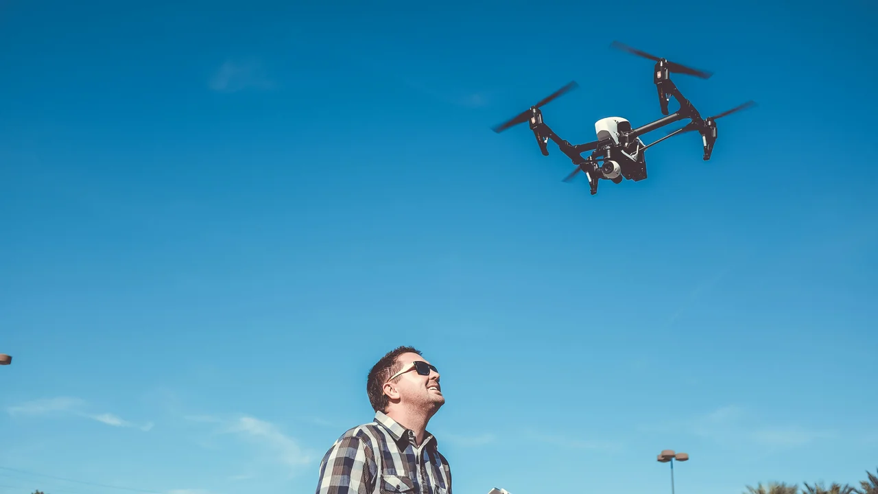
Flying a drone in New Jersey in 2026 presents a unique set of challenges and opportunities, primarily because the state sits directly under the busy airspace of New York City and Newark. Whether you are planning to capture sunrise over the Manasquan Inlet or fly near the Pine Barrens, understanding the specific New Jersey drone laws is essential to staying legal. This guide will walk you through the complex airspace restrictions, state-level statutes, and local ordinances that affect every drone pilot in the Garden State. You will learn exactly where you can fly, what permits you need, and how to avoid common enforcement pitfalls.
What Are the Federal FAA Drone Rules That Apply in New Jersey?
Before diving into state-specific rules, you must understand the baseline federal regulations enforced by the FAA. These apply to every drone flight in the United States, including all of New Jersey. The core rules are straightforward: you must register any drone weighing over 0.55 lbs (250g) with the FAA DroneZone for a $5 fee valid for three years. Recreational flyers must pass The Recreational UAS Safety Test (TRUST) and carry proof of passage. Commercial operators need a Part 107 Remote Pilot Certificate. The altitude limit is 400 feet above ground level (AGL), and you must always maintain visual line of sight (VLOS) with your drone. Flying over people or moving vehicles is prohibited unless your drone meets specific weight and design standards. Night flying is permitted for Part 107 pilots who have completed the required recurrent training. These federal rules form the foundation, but New Jersey adds its own layers of complexity.
What Does New Jersey State Law Say About Drones? (NJ Rev Stat 2C:33-30)
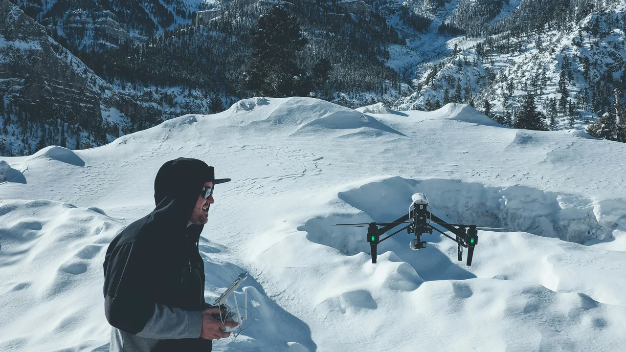
New Jersey has a specific criminal statute, NJ Rev Stat 2C:33-30, that directly addresses drone operations. This law makes it a disorderly persons offense to operate a drone in a manner that harasses, intimidates, or invades the privacy of another person. The law prohibits flying over private property at low altitudes with the intent to surveil individuals inside their homes or on their land without consent. It also bans operating a drone within 500 feet of a correctional facility, and it is illegal to use a drone to deliver contraband to a prison. Additionally, the statute prohibits flying in a way that interferes with emergency response operations, such as police, fire, or medical scenes. What this means for your flight: if you are flying near residential neighborhoods, keep a respectful distance from homes and avoid hovering over backyards. Always be aware of your surroundings and never fly directly over people or private property in a way that could be interpreted as surveillance.
How Does NJ Rev Stat 2C:33-30 Affect Drone Photography at the Jersey Shore?
The Jersey Shore is a prime destination for drone photography, but the state law creates specific limitations. When flying over beaches or boardwalks, you must avoid flying directly over sunbathers or crowded areas. The law focuses on intent, so if you are capturing a wide-angle landscape shot and accidentally include a person, you are generally safe. However, if you intentionally track individuals or hover over groups, you risk prosecution. The best practice is to launch from a less crowded area, keep your drone at least 100 feet away from people, and avoid flying parallel to the shoreline where you might be perceived as surveilling beachgoers. Popular spots like Island Beach State Park and Cape May beaches require extra caution because of the high density of people during summer months.
How Does NYC Airspace Spill Over Into New Jersey?
The most critical factor for New Jersey drone pilots is the spillover of New York City’s congested airspace. Newark Liberty International Airport (EWR) Class B airspace covers a massive portion of northeastern New Jersey, including Newark, Elizabeth, Jersey City, Hoboken, and parts of Bergen County. This airspace extends from the surface up to 7,000 feet in some areas. Additionally, Teterboro Airport (TEB) Class D airspace covers parts of Bergen and Passaic counties. If you live or fly in Hudson County, Essex County, or Bergen County, you are almost certainly within controlled airspace that requires FAA authorization through the LAANC system. You cannot simply launch your drone in these areas without first obtaining an airspace authorization. The LAANC system allows you to request real-time approval for flights in controlled airspace up to the designated altitude limit for your area.
How to Get LAANC Authorization for Flying Near Newark (EWR) and Teterboro (TEB)
Obtaining LAANC authorization is a straightforward process that every New Jersey pilot should master. You need to use an FAA-approved LAANC service provider, such as Kittyhawk, AirMap, or Aloft. Open the app, select your flight location, and the map will show the controlled airspace boundaries and the maximum altitude you can request. For Newark Class B airspace, the maximum altitude is often limited to 100 or 200 feet depending on your proximity to the airport. Submit your request, and you typically receive approval within seconds. If you are denied, you cannot fly in that location. Some areas near Newark are completely restricted, especially within the surface area of the airport. Always check the LAANC map before every flight, even if you have flown in the same spot before, because airspace restrictions can change.
Use Kittyhawk, AirMap, or another approved provider. Locate your flight area on the interactive map.
Look for colored polygons indicating controlled airspace. Green means authorization is possible; red means no-fly zone.
Enter your flight altitude and time. Submit for real-time approval. Keep a screenshot as proof.
Which New Jersey Airports Have the Most Restrictive Airspace?
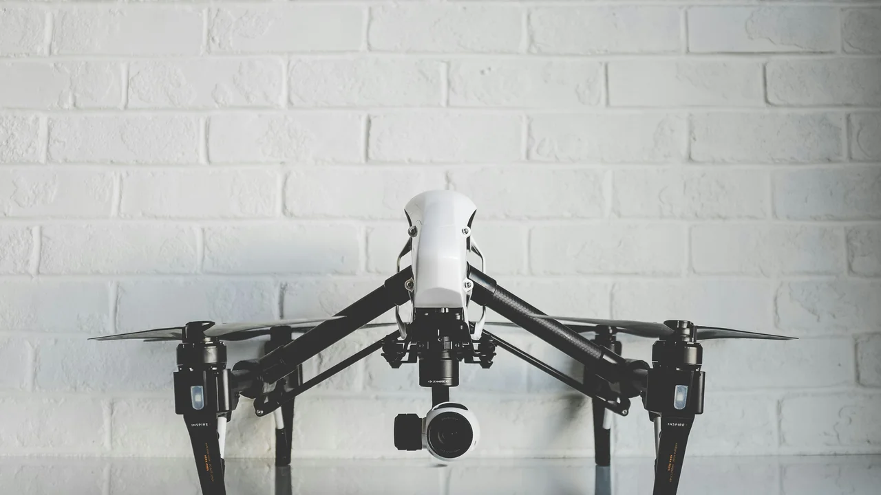
New Jersey has several major airports that create significant airspace restrictions. Newark Liberty International (EWR) has the most extensive Class B airspace, covering a 30-mile radius from the airport. This includes most of northeastern New Jersey and parts of New York. Teterboro (TEB) has Class D airspace that extends 5 miles from the airport and up to 2,500 feet. Atlantic City International Airport (ACY) has Class C airspace that extends 10 miles from the airport and up to 4,000 feet. Trenton-Mercer Airport (TTN) has Class D airspace. Additionally, Mcguire Air Force Base and Lakehurst Naval Air Station create special use airspace that is often restricted. Always check the FAA’s UAS Facility Maps (UASFMs) for the maximum altitude you can fly in each controlled area. The key takeaway: if you are within 30 miles of Newark, you need LAANC authorization for almost any flight.
| Airport | Airspace Class | Radius | Max Altitude (Typical LAANC) |
|---|---|---|---|
| Newark (EWR) | Class B | 30 miles | 100–200 ft |
| Teterboro (TEB) | Class D | 5 miles | 100–400 ft |
| Atlantic City (ACY) | Class C | 10 miles | 100–400 ft |
| Trenton-Mercer (TTN) | Class D | 5 miles | 100–400 ft |
Can You Fly a Drone at Sandy Hook? (Gateway National Recreation Area)
Sandy Hook, part of the Gateway National Recreation Area, is a popular destination for drone photography, but the rules are strict. The National Park Service (NPS) has banned the launching, landing, and operation of drones within all NPS units, including Gateway National Recreation Area. This means Sandy Hook, Fort Hancock, and the surrounding beaches are off-limits for drone flights. The ban covers both recreational and commercial operations. If you are caught flying at Sandy Hook, you risk a federal citation with fines up to $5,000. The NPS actively patrols the area, especially during summer months. There are no exceptions for small drones or sub-250g models. The only way to fly at Sandy Hook is to obtain a special use permit from the NPS, which is rarely granted for recreational purposes. Your best alternative is to fly at nearby state parks or beaches that allow drones.
What About the Delaware Water Gap National Recreation Area?
The Delaware Water Gap National Recreation Area, which spans the border between New Jersey and Pennsylvania, is also an NPS unit with a complete drone ban. This area includes popular hiking trails, waterfalls, and scenic overlooks. The ban applies to all lands and waters within the recreation area boundary. If you are planning to capture aerial footage of the Delaware Water Gap, you must launch from outside the NPS boundary. The adjacent Delaware State Forest in Pennsylvania and the Stokes State Forest in New Jersey may allow drones, but you must verify local regulations. Always check the NPS website or contact the park office before your trip. The penalties for flying in the Delaware Water Gap are the same as for Sandy Hook: federal fines up to $5,000.
What Are the Rules for Flying in New Jersey State Parks?
The New Jersey Department of Environmental Protection (DEP) manages the state park system. The official policy is that drone operations are prohibited in all state parks, forests, and recreation areas unless you have a special permit. This includes popular locations such as Island Beach State Park, Allaire State Park, and Liberty State Park. The ban covers launching, landing, and operating drones. However, the DEP does issue permits for commercial filming and scientific research. For recreational pilots, the only option is to fly outside the park boundaries. Many state parks have adjacent public lands or open spaces where you can legally fly. For example, you can fly from the beach outside Island Beach State Park’s boundary, but you must ensure you are not on park property. Always check the specific park’s regulations because some smaller state parks may have different rules.
What Are the Drone Laws for the Jersey Shore? (Point Pleasant, Asbury Park, Cape May)
The Jersey Shore is a patchwork of municipal ordinances, and the rules vary significantly from town to town. Point Pleasant Beach has a local ordinance that prohibits launching or landing drones within the borough limits, but you can fly over the water if you launch from a boat or a neighboring town. Asbury Park has a similar ban on launching from city property, but the city does not restrict overflights as long as you are not harassing people. Cape May has a strict ordinance that bans all drone operations within the city limits, including over the beach and boardwalk. Wildwood and Ocean City have their own rules that generally prohibit drones on the beach during summer months. The key is to research the specific municipal code for the town you plan to visit. Many towns have ordinances that are not well-publicized, so checking with the local police department is always a good idea.
What Are the Drone Laws for Newark and Hudson County?
Newark and the surrounding Hudson County area present the most complex drone environment in New Jersey. Newark itself has a municipal ordinance that prohibits drone operations within city limits without a permit. Additionally, the entire city lies within Newark Liberty International Airport’s Class B airspace, which means you need LAANC authorization for any flight. Hudson County, including Jersey City and Hoboken, is also entirely within the NYC Class B airspace. This means you must obtain LAANC authorization from the FAA before flying. The NYC Class B airspace covers the surface area of all three major airports: Newark, LaGuardia, and JFK. This creates a situation where almost the entire eastern edge of New Jersey is a controlled airspace zone. If you live in Hudson County, you need to use the LAANC system for every flight, even in your own backyard.
Final Thoughts on Flying Drones in New Jersey in 2026
Navigating New Jersey’s drone laws requires careful planning and a solid understanding of both federal and state regulations. The most important takeaway is that the NYC airspace spillover makes northeastern New Jersey a high-restriction zone. Always use the LAANC system before any flight in the Newark, Teterboro, or Atlantic City areas. For the Jersey Shore, research the specific town’s ordinance before you travel. Remember that Sandy Hook and the Delaware Water Gap are federal no-fly zones. New Jersey’s state parks are also off-limits without a permit. If you follow the FAA’s basic rules, respect privacy laws, and use LAANC for authorization, you can enjoy flying in New Jersey safely and legally. Always check the FAA’s B4UFLY app or a similar tool before every flight to confirm current airspace status.
Frequently Asked Questions
What is the federal FAA baseline that applies to all drone flights in New Jersey?
The FAA baseline requires all drones over 0.55 lbs (250g) to be registered through the FAA DroneZone for a $5 fee valid for three years. Recreational pilots must pass the TRUST exam and carry proof, while commercial operators need a Part 107 certificate. All flights must stay under 400 feet AGL, maintain visual line of sight, and avoid flying over people or moving vehicles. Night flying is permitted for Part 107 pilots with recurrent training.
What does New Jersey’s state drone statute (NJ Rev Stat 2C:33-30) prohibit?
New Jersey Revised Statute 2C:33-30 makes it a disorderly persons offense to operate a drone in a manner that harasses, intimidates, or invades the privacy of another person. It specifically prohibits flying over private property at low altitudes with intent to surveil individuals inside their homes. The law also bans drone operations within 500 feet of a correctional facility and prohibits interfering with emergency response operations. Violations can result in criminal charges and fines.
Does Newark Liberty International Airport (EWR) Class B airspace cover most of northeastern New Jersey?
Yes, Newark’s Class B airspace extends approximately 30 miles from the airport, covering most of northeastern New Jersey including Newark, Elizabeth, Jersey City, Hoboken, and parts of Bergen County. This airspace requires LAANC authorization for any drone flight. The maximum altitude available through LAANC in this area is typically between 100 and 200 feet. Flights are prohibited in the surface area immediately surrounding the airport.
What are the restrictions for flying near Teterboro Airport (TEB) Class D airspace?
Teterboro Airport has Class D airspace that extends 5 miles from the airport and up to 2,500 feet. Drone flights within this area require LAANC authorization. The maximum altitude available through LAANC varies but is often limited to 100 to 400 feet depending on your proximity to the airport. Teterboro’s airspace covers parts of Bergen and Passaic counties, and it overlaps with Newark’s Class B airspace in some areas.
Does Atlantic City International Airport (ACY) have Class C airspace restrictions?
Yes, Atlantic City International Airport has Class C airspace that extends 10 miles from the airport and up to 4,000 feet. Drone flights within this area require LAANC authorization. The typical maximum altitude available through LAANC is between 100 and 400 feet. This airspace covers much of Atlantic County and the surrounding areas. It is important to check the FAA’s UAS Facility Maps for specific altitude limits.
Is drone flight banned at Gateway National Recreation Area (Sandy Hook)?
Yes, the National Park Service bans the launching, landing, and operation of drones within all units of Gateway National Recreation Area, including Sandy Hook. This ban covers both recreational and commercial operations. Violations can result in federal fines up to $5,000. There are no exceptions for sub-250g drones. The only way to fly is with a special use permit from the NPS, which is rarely granted for recreational purposes.
Is drone flight banned at the Delaware Water Gap National Recreation Area?
Yes, the Delaware Water Gap National Recreation Area, which spans the New Jersey-Pennsylvania border, is an NPS unit with a complete drone ban. The ban applies to all lands and waters within the recreation area boundary, including popular hiking trails and scenic overlooks. Federal fines up to $5,000 can be imposed for violations. You must launch from outside the NPS boundary to legally capture aerial footage of the area.
What is the New Jersey DEP policy on drones in state parks?
The New Jersey Department of Environmental Protection prohibits drone operations in all state parks, forests, and recreation areas unless you have a special permit. This includes popular locations like Island Beach State Park, Allaire State Park, and Liberty State Park. The ban covers launching, landing, and operating drones. Permits are issued for commercial filming and scientific research, but recreational pilots are generally not eligible.
Do municipal ordinances at the Jersey Shore vary widely for drone flights?
Yes, municipal ordinances at the Jersey Shore vary significantly from town to town. Point Pleasant Beach bans launching and landing within borough limits but allows overflights from other locations. Asbury Park bans launching from city property but does not restrict overflights. Cape May has a strict ban on all drone operations within city limits. Wildwood and Ocean City have seasonal restrictions on beach flying. Always research the specific municipal code before flying.
Does NYC Class B airspace cover Hudson County entirely?
Yes, Hudson County, including Jersey City and Hoboken, is entirely within the New York City Class B airspace that covers Newark, LaGuardia, and JFK airports. This means every drone flight in Hudson County requires LAANC authorization from the FAA. The maximum altitude available is typically limited to 100 to 200 feet. There are no areas in Hudson County where you can fly without authorization, even in your own backyard.
What are the local drone rules for Point Pleasant, Asbury Park, and Cape May?
Point Pleasant Beach prohibits launching or landing drones within borough limits, but you can fly over the water if you launch from a boat or adjacent town. Asbury Park bans launching from city property but does not restrict overflights. Cape May has a strict ordinance banning all drone operations within city limits, including over the beach and boardwalk. These rules are enforced by local police, and fines vary by municipality.
Last updated: June 25, 2026
- Federal Aviation Administration (faa.gov)
- New Jersey Revised Statutes Title 2C (njleg.state.nj.us)
- National Park Service Drone Policy (nps.gov)
- New Jersey Department of Environmental Protection (nj.gov/dep)
Drone Allowed
DroneAllowed editor covering drone regulations, aviation law, and aerial photography across USA, UK, Canada & Australia.