
Real Estate Drone Photography 2026: Laws, Tips & Getting Started
 14 min read
2,659 words
14 min read
2,659 words
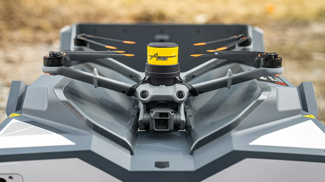
If you are a real estate agent or photographer looking to add aerial imagery to your listings in 2026, you need to understand that real estate drone photography is no longer a niche service—it is an expected standard for high-value properties. This guide covers the FAA legal requirements, the best drones for the job, practical shooting techniques, and how to start a profitable drone real estate photography business. By the end, you will know exactly what license you need, what gear to buy, and how to price your services.
Is a Part 107 License Required for Real Estate Drone Photography?
Yes, without exception. Any flight that is in any way connected to a business—including taking photos for a real estate listing—requires a Remote Pilot Certificate under Part 107. There is no “hobby exemption” for commercial real estate work, even if you are using a drone under 250 grams like the DJI Mini 4 Pro. The FAA has explicitly stated that flying for compensation or for the benefit of a business requires Part 107 certification. Operating without it can result in civil penalties of up to $27,500 per violation.
This is the single most important legal point in this guide. Do not start shooting real estate properties until you have passed the Part 107 knowledge test and received your Remote Pilot Certificate. The test costs $175, and you must be at least 16 years old.
FAA Registration for Real Estate Drones
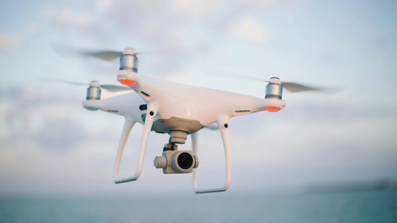
Once you have your Part 107 certificate, you must register every drone you use for real estate photography with the FAA through the Registration Calculator on the FAA DroneZone website. The registration fee is $5 per drone and covers a three-year period. This applies to all drones weighing more than 0.55 pounds (250 grams), which includes most real estate workhorses like the DJI Mavic 3 Pro and DJI Air 3.
If you use a sub-250g drone like the DJI Mini 4 Pro for commercial work, you still need to register it because you are operating under Part 107. The weight exemption from registration only applies to recreational flyers. For commercial operations, all drones must be registered.
How Much Does It Cost to Start a Drone Real Estate Photography Business?
Starting a real estate drone photography business requires a modest upfront investment. Here is a realistic breakdown of the costs you should expect in 2026:
| Expense | Cost Range | Notes |
|---|---|---|
| Drone (DJI Mavic 3 Pro) | $1,500 – $2,200 | Best overall for real estate |
| Drone (DJI Air 3) | $1,000 – $1,300 | Great value for most properties |
| Drone (DJI Mini 4 Pro) | $800 – $1,100 | Lightweight, but limited in wind |
| Part 107 Study Materials | $50 – $200 | Online courses, practice tests |
| FAA Part 107 Test Fee | $175 | Paid to PSI testing center |
| Extra Batteries (2-3) | $200 – $400 | Essential for multiple properties |
| Editing Software (Lightroom) | $10 – $35/month | Subscription model |
| Liability Insurance | $200 – $500/year | Highly recommended |
Total startup cost for a professional real estate drone photography business ranges from approximately $2,500 to $4,500. This is a reasonable investment given that a single well-paying property shoot can cover a significant portion of your initial expenses.
Best Drones for Real Estate Aerial Photography in 2026
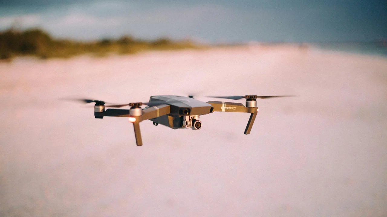
Choosing the right drone is critical for delivering high-quality real estate images. Here are the three most recommended models, each with specific strengths for real estate work.
DJI Mavic 3 Pro: The Real Estate Standard
The DJI Mavic 3 Pro is the top choice for professional real estate drone photography. Its Hasselblad camera with a 4/3 CMOS sensor captures exceptional detail and dynamic range, which is crucial for HDR real estate photos. The three-camera system (wide, tele, and medium tele) gives you flexibility for exterior shots, neighborhood context, and detail shots of landscaping or roof features. The 46-minute flight time allows you to cover an entire property on one battery. Expect to pay around $1,500 to $2,200 for the Fly More Combo.
DJI Air 3: The Value Workhorse
The DJI Air 3 offers an excellent balance of image quality and price. Its dual-camera system (wide and 3x telephoto) produces sharp, color-accurate images suitable for most real estate listings. The 46-minute flight time matches the Mavic 3 Pro, and the drone is more portable. At $1,000 to $1,300, it is a smart choice for photographers starting their drone real estate photography business.
DJI Mini 4 Pro: Lightweight and Portable
The DJI Mini 4 Pro is an option for photographers who prioritize portability and lower cost. At under 250 grams, it is easy to carry and requires less travel paperwork. However, its smaller sensor (1/1.3-inch) means lower dynamic range and less flexibility for HDR editing. It is also more susceptible to wind, which can be a problem on breezy days. For smaller properties or as a backup drone, it works well, but the Mavic 3 Pro or Air 3 will produce superior results for high-end listings.
Pros of Mavic 3 Pro
- Superior image quality for HDR
- Long flight time (46 min)
- Three cameras for versatile shots
Cons of Mavic 3 Pro
- Higher cost ($1,500+)
- Larger and heavier to carry
Essential Shot Types for Real Estate Drone Photography
To deliver a complete aerial package for a real estate listing, you need to master several standard shot types. Each serves a specific purpose in showcasing the property.
Exterior Approach Shot
This is the most common real estate drone shot. Start at a moderate altitude (around 100-150 feet) and fly directly toward the front of the property, keeping the house centered. This shot gives viewers a sense of the property’s curb appeal and its position on the lot. Use a slow, smooth flight path—around 5-10 mph—to avoid a jerky appearance.
Orbit Shot
An orbit shot circles the entire property at a consistent altitude and distance. This reveals the full exterior condition, including landscaping, roof lines, and any outbuildings. For real estate, a 360-degree orbit at 80-120 feet altitude works well. Ensure the drone’s camera is gimbal-locked to keep the property centered throughout the rotation.
Top-Down (Overhead) Shot
A top-down shot taken from directly above the property provides a unique perspective that highlights the layout of the house, driveway, pool, and yard. This is especially useful for properties with large lots or unique architectural designs. Fly to an altitude of 200-300 feet and point the camera straight down.
Neighborhood Context Shot
Buyers want to see the surrounding area. A neighborhood context shot shows the property in relation to nearby streets, parks, schools, or commercial areas. Fly to an altitude of 300-400 feet and capture a wide-angle view that includes the property and its immediate surroundings. This shot is particularly valuable for suburban and rural properties.
Best Time of Day for Real Estate Drone Photography
Lighting is the single most important factor in real estate photography. The best time to shoot is during the golden hour—the hour after sunrise and the hour before sunset. This warm, directional light creates long shadows that add depth to the property and makes the exterior look warm and inviting. Overcast days are the second-best option. Diffused cloud cover eliminates harsh shadows and reduces contrast, making it easier to capture evenly exposed images. Avoid shooting at midday when the sun is directly overhead, as this creates harsh shadows and blown-out highlights that are difficult to correct in editing.
Controlled Airspace and LAANC Authorizations
Many suburban homes are located within controlled airspace near airports or heliports. Before you fly, you must check the airspace using the FAA’s B4UFLY app or a LAANC-enabled app like Kittyhawk or AirMap. If the property is in controlled airspace, you need to obtain an automated authorization through the LAANC (Low Altitude Authorization and Notification Capability) system. This process takes just a few minutes and is free. You must have your Part 107 certificate number ready when requesting authorization. Without LAANC approval, flying in controlled airspace is illegal and can result in enforcement action from the FAA.
Deliverables: What to Provide to Real Estate Agents
Real estate agents expect high-resolution JPG files that they can use immediately on MLS listings, websites, and social media. Standard deliverables include:
- Full-resolution JPG files (typically 20-30 megapixels)
- HDR-processed images for balanced exposure
- A minimum of 10-15 edited images per property
- File naming that matches the property address
- Optionally, a 30-60 second aerial video clip
HDR (High Dynamic Range) processing is essential for real estate drone photography. Merge multiple exposures in Lightroom or Photoshop to retain detail in both the sky and the shadow areas of the property. Most agents prefer a natural look—avoid over-saturating colors or creating a surreal appearance.
Pricing Guide for Real Estate Drone Photography
Pricing varies by market, but a national average for real estate drone photography in 2026 is between $150 and $400 per property. Factors that influence price include property size, number of images, travel distance, and whether you include video. Here is a typical pricing structure:
| Package | Price | Deliverables |
|---|---|---|
| Basic (under 2,000 sq ft) | $150 – $250 | 10-15 still images, no video |
| Standard (2,000-4,000 sq ft) | $250 – $350 | 15-20 still images, 30-sec video |
| Premium (4,000+ sq ft or luxury) | $350 – $400+ | 20+ stills, video, orbit shot |
You can also offer add-ons like twilight shoots, interior photography, or virtual tours for an additional fee. Many drone photographers bundle aerial photos with ground-level real estate photography to offer a complete package.
Marketing Your Drone Real Estate Photography Business
To attract real estate agents, you need to demonstrate the value of aerial photography. Start by creating a portfolio of at least 10-15 properties. Offer a free or discounted shoot to a local agent in exchange for permission to use the images in your portfolio. Then, reach out to real estate offices directly with a one-page flyer or email that includes sample images and your pricing. Emphasize that drone photos sell homes faster and for higher prices—statistics show listings with aerial imagery sell 68% faster than those without. Attend local real estate networking events and offer to speak about the benefits of aerial photography.
Editing Real Estate Drone Photos with Lightroom Presets
Efficient editing is key to running a profitable drone real estate photography business. Lightroom presets can dramatically speed up your workflow. Create or purchase presets specifically designed for real estate drone photography. These presets typically adjust exposure, white balance, and contrast to produce a clean, natural look. For HDR images, use Lightroom’s Merge to HDR function, then apply a preset as a starting point. Adjust individual images for white balance (aim for 5500-6000K for daylight shots), exposure compensation, and lens corrections. Aim for a consistent look across all images in a single property set.
Import all RAW files from the shoot. Select the best 15-20 images for editing.
Select the bracketed exposures (usually 3-5 shots) and use Lightroom’s Merge to HDR function.
Apply a real estate-specific preset to the HDR image. Adjust exposure, white balance, and shadows as needed.
Export full-resolution JPG files (sRGB color space, 300 DPI) for delivery to the agent.
FAA Waivers for Specialized Real Estate Operations
Most real estate drone photography operations do not require FAA waivers. However, if you need to fly at night (after sunset) or beyond visual line of sight (BVLOS), you must obtain a waiver from the FAA. The night operations waiver (107.29) was largely eliminated in 2021 with the introduction of the anti-collision light requirement, but you still need to equip your drone with a visible light if operating at night. For BVLOS operations, which are rare in real estate, you would need a specific waiver. In practice, standard real estate shoots done during daylight hours within visual line of sight do not require any waivers beyond your Part 107 certificate.
Summary
Real estate drone photography is a profitable and growing field, but it requires strict adherence to FAA regulations. Obtain your Part 107 certificate, register your drone, and always check airspace before flying. Invest in a quality drone like the DJI Mavic 3 Pro or DJI Air 3, master the essential shot types, and build a portfolio to market to local real estate agents. Price your services between $150 and $400 per property, and deliver clean, HDR-processed JPG files. For more tools to help you stay compliant, use our Registration Calculator to track your FAA registrations.
Frequently Asked Questions
Do I need Part 107 for real estate drone photography?
Yes, absolutely. Any flight that is conducted for commercial purposes, including taking photos for a real estate listing, requires a Part 107 Remote Pilot Certificate. There are no exceptions for sub-250g drones or for “helping out” a real estate agent. Operating without Part 107 is a violation of FAA regulations and can result in significant fines. You must pass the Part 107 knowledge test at an FAA-approved testing center and receive your certificate before conducting any paid real estate drone photography work.
How much should I charge for real estate drone photos?
Nationally, the average price for real estate drone photography in 2026 ranges from $150 to $400 per property. The exact price depends on the size of the property, the number of images delivered, whether video is included, and your local market. A basic package for a small home under 2,000 square feet might start at $150, while a luxury estate could command $400 or more. You can also offer add-ons like twilight shoots or interior photography to increase your average sale.
What drone is best for real estate?
The DJI Mavic 3 Pro is widely considered the best drone for real estate photography due to its large 4/3 CMOS sensor, three-camera system, and 46-minute flight time. For a more budget-friendly option, the DJI Air 3 offers excellent image quality at a lower price point. The DJI Mini 4 Pro is a lightweight alternative but has a smaller sensor and is more wind-sensitive. For professional real estate work, the Mavic 3 Pro or Air 3 are the recommended choices.
Can I fly in controlled airspace for real estate photography?
Yes, but you must obtain authorization through the FAA’s LAANC (Low Altitude Authorization and Notification Capability) system. This is a quick, automated process that can be done through apps like B4UFLY, Kittyhawk, or AirMap. You need your Part 107 certificate number to request authorization. LAANC approvals are typically granted within seconds for most airspace classes. Flying in controlled airspace without authorization is illegal and can result in enforcement action.
How do I start a drone real estate photography business?
First, obtain your Part 107 Remote Pilot Certificate. Then, purchase a quality drone like the DJI Mavic 3 Pro or DJI Air 3, along with extra batteries and editing software. Build a portfolio by offering free or discounted shoots to local real estate agents. Create a pricing structure and marketing materials, then reach out to agents directly. Liability insurance is highly recommended. The total startup cost is approximately $2,500 to $4,500.
What Part 107 waiver do I need for real estate?
Most standard real estate drone photography operations do not require any FAA waivers. You only need waivers for specialized operations like flying at night without an anti-collision light or flying beyond visual line of sight (BVLOS). For typical daytime shoots within visual line of sight, your Part 107 certificate is sufficient. If you plan to fly at dusk or dawn, ensure your drone is equipped with a visible anti-collision light as required by FAA regulations.
Last updated: June 25, 2026
- Federal Aviation Administration (FAA) – Part 107 Regulations
- FAA DroneZone – Registration and LAANC
- National Association of Realtors – Technology Survey
Drone Allowed
DroneAllowed editor covering drone regulations, aviation law, and aerial photography across USA, UK, Canada & Australia.