
Illinois Drone Laws 2026: Chicago, State Parks & Critical Infrastructure Rules
 14 min read
2,693 words
14 min read
2,693 words
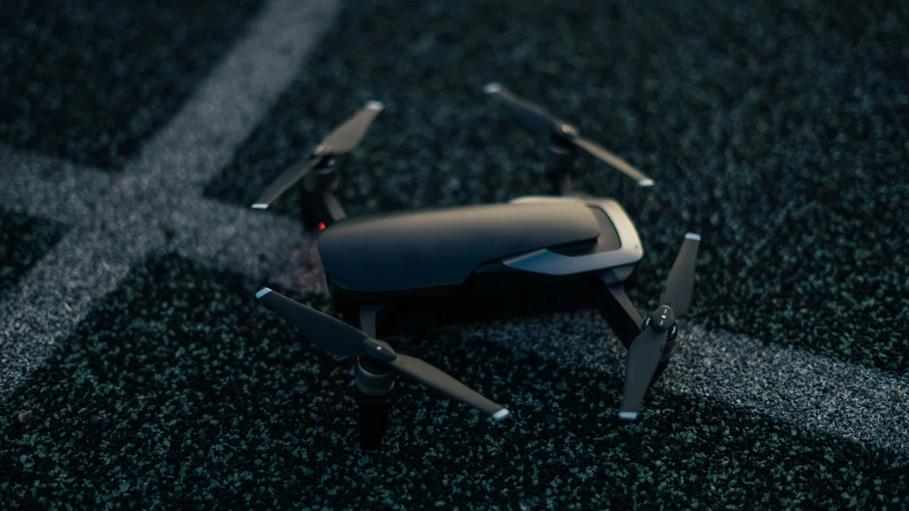
If you’re planning to fly a drone in Illinois in 2026, you’re entering one of the most complex airspace environments in the United States. The state’s drone laws layer strict state-level critical infrastructure restrictions on top of the FAA’s federal framework, while the City of Chicago adds its own local ordinances that can trap unwary pilots. This guide covers everything you need to know about Illinois drone laws, from the congested skies over Chicago O’Hare to the open spaces of Shawnee National Forest. You’ll learn exactly where you can fly, what permits you need, and how to avoid the state’s unique critical infrastructure penalties.
What Is the FAA Baseline for Drone Operations in Illinois?
Before diving into Illinois-specific regulations, you must understand the federal rules that apply everywhere in the United States, including Illinois. The FAA (Federal Aviation Administration) has exclusive authority over navigable airspace. This means the FAA sets the core requirements for drone registration, pilot certification, and operational limits.
For recreational flyers, the key requirements are: register any drone weighing more than 0.55 lbs (250g) through the FAA DroneZone ($5 fee, valid for 3 years), pass The Recreational UAS Safety Test (TRUST), and always keep the drone within visual line of sight. For commercial operations, you need a Part 107 Remote Pilot Certificate, which requires passing a knowledge test at an FAA-approved testing center.
The universal altitude limit is 400 feet above ground level (AGL). You cannot fly over people or moving vehicles without specific FAA waivers. And critically, you must never interfere with manned aircraft. These federal rules form the foundation that Illinois state law builds upon.
What Does the Illinois Drone Statute (620 ILCS 5/42.1) Say About Local Laws?
Illinois has a state-level drone statute codified at 620 ILCS 5/42.1. This law is critical because it establishes a preemption framework — meaning it determines whether cities and counties can create their own drone rules. The statute generally preempts local governments from regulating drone operations in navigable airspace. However, there is a major exception: the City of Chicago.
The Illinois statute explicitly allows Chicago to adopt its own drone ordinances. This carve-out was written into the law to recognize Chicago’s unique airspace challenges, including two major airports and a dense urban core. For pilots outside Chicago, this preemption means you generally follow FAA rules plus the state’s critical infrastructure law. For pilots inside Chicago, you must also comply with the city’s specific restrictions.
What Are the Chicago Downtown Drone Ordinance Restrictions?
The City of Chicago passed a municipal drone ordinance that creates a no-fly zone over large portions of the downtown area. This ordinance is separate from FAA airspace restrictions and is enforced by the Chicago Police Department. Violations can result in fines and confiscation of your drone.
The ordinance bans drone takeoff, landing, and operation from any city-owned property, including streets, sidewalks, parks, and public plazas. In practice, this makes downtown Chicago nearly impossible to fly from legally. The ordinance also prohibits drones from flying over any public gathering, parade, or special event without a permit from the city.
What does this mean for your flight? If you want to capture aerial footage of the Chicago skyline from Millennium Park or along the Lakefront Trail, you cannot legally launch from those public spaces. Some pilots operate from private property with the owner’s permission, but even then, you must ensure you don’t fly over city-owned land or public gatherings.
How Do Chicago O’Hare Drone Rules Affect Your Flight?
Chicago O’Hare International Airport (ORD) is one of the busiest airports in the world, and its Class B airspace footprint is enormous. The Class B airspace extends from the surface to 10,000 feet MSL and covers a roughly 10-nautical-mile radius from the airport. This means a huge portion of northwestern Chicago and many suburbs fall directly under O’Hare’s controlled airspace.
To fly in Class B airspace, you must obtain an FAA airspace authorization through the LAANC (Low Altitude Authorization and Notification Capability) system. LAANC provides near-instant approvals for flights up to 400 feet AGL in many areas. However, for O’Hare, the surface-level Class B (the inner ring) often has zero altitude authorization — meaning no drone flights are permitted at all within the immediate vicinity of the runways.
For areas within the outer rings of Class B, you can typically get LAANC approval for flights up to 50-200 feet AGL, depending on the specific grid. You must use an FAA-approved LAANC service provider such as Kittyhawk, AirMap, or Aloft. Always check the latest airspace map before flying, as temporary flight restrictions (TFRs) are common around O’Hare during VIP movements or special events.
What About Chicago Midway Airport (MDW) Drone Restrictions?
Chicago Midway International Airport (MDW) is a Class D airspace, which is less restrictive than O’Hare’s Class B but still requires authorization. Class D airspace typically extends from the surface to 2,500 feet AGL within a 4-5 nautical mile radius. You must obtain LAANC authorization to fly in Midway’s Class D airspace.
The practical challenge with Midway is its location within Chicago’s dense southwest side. The Class D airspace overlaps with residential neighborhoods, industrial areas, and portions of the Chicago Park District. Even if you get LAANC approval for the airspace, you still must comply with the city’s ground-level ordinance banning takeoffs from public property.
Can You Fly Drones in Chicago Park District Properties?
The Chicago Park District manages over 570 parks, 31 beaches, and 77 nature areas within the city. The Park District has its own policy on drones, which is more restrictive than the city ordinance. According to the Chicago Park District rules, drones are prohibited from taking off, landing, or operating on any park property unless you have a special use permit.
This ban covers iconic locations like Grant Park, Lincoln Park, Humboldt Park, and the Lakefront Trail. Even if you obtain FAA airspace authorization for the airspace above a park, you cannot legally launch from the park grounds. The Park District issues permits only for commercial film productions that carry substantial liability insurance and pay fees.
For recreational pilots, this effectively eliminates the most scenic launch points in Chicago. Some pilots use private balconies or rooftops adjacent to parks, but you must ensure you don’t violate the city ordinance by flying over the park itself. The safest approach is to find private property outside of park boundaries.
What Are the Illinois State Parks Drone Rules Under IDNR?
The Illinois Department of Natural Resources (IDNR) manages state parks, conservation areas, and recreational lands across Illinois. The IDNR policy on drones is clear: drones are prohibited from launching, landing, or operating on all IDNR-administered properties unless you have a special use permit.
This ban covers popular state parks like Starved Rock State Park, Matthiessen State Park, Giant City State Park, and the Illinois Beach State Park. The IDNR permits are rarely granted to recreational pilots and are typically reserved for scientific research, search and rescue operations, or commercial film productions with approved plans.
If you’re caught flying a drone in an Illinois state park without a permit, you risk a citation and confiscation of your equipment. The IDNR conservation police actively patrol popular parks and have issued citations to drone pilots. Your best alternative is to fly on private property adjacent to state parks, provided you have landowner permission and you don’t fly over the park boundary.
What Are the Drone Rules for Shawnee National Forest?
Shawnee National Forest in southern Illinois is managed by the U.S. Forest Service (USFS), not the IDNR. The USFS generally allows drone flights on national forest lands, provided you comply with FAA regulations and any temporary restrictions. This makes Shawnee one of the few large public land areas in Illinois where recreational drone flying is permitted.
However, there are important caveats. You cannot fly in designated wilderness areas within Shawnee, such as the Lusk Creek Wilderness or the Garden of the Gods Wilderness Study Area. You must also avoid interfering with wildlife, other visitors, or any ongoing Forest Service operations. Seasonal closures for fire risk or wildlife protection may apply.
Is the Garden of the Gods Open for Drone Flights?
Garden of the Gods, the most famous geological formation in Shawnee National Forest, is located within a wilderness study area. The USFS policy prohibits drone flights in wilderness areas and wilderness study areas to preserve the natural soundscape and visitor experience. This means you cannot legally launch a drone at the Garden of the Gods trailhead or from the observation areas.
Some pilots attempt to fly from outside the wilderness boundary and fly over the formation. This is technically a violation because the airspace above the wilderness area is still subject to the USFS restriction. The safest approach is to enjoy the Garden of the Gods from the ground and find other locations within Shawnee that are not wilderness-designated.
What Does the Illinois Critical Infrastructure Law Cover?
Illinois has one of the strongest critical infrastructure drone laws in the United States. The statute, found in 720 ILCS 5/21-6, makes it a crime to fly a drone over or near critical infrastructure facilities. This law applies statewide, including in Chicago, and carries serious penalties.
The law defines critical infrastructure broadly to include: power plants, electrical substations, oil refineries, chemical facilities, water treatment plants, dams, natural gas compressor stations, telecommunications towers, and prisons. The restricted zone extends 400 feet horizontally from the facility’s boundary and up to 400 feet vertically.
Violations are treated as a Class A misdemeanor for a first offense, with fines up to $2,500 and potential jail time up to one year. A second or subsequent offense is a Class 4 felony, carrying fines up to $25,000 and prison time. Ignorance of the law is not a defense — if you fly near a power plant or substation, you are responsible for knowing it was there.
Facilities Covered
- Power plants and substations
- Oil and gas facilities
- Chemical plants
- Water treatment plants
- Dams and levees
- Telecom towers
- Prisons
Penalties
- 1st offense: Class A misdemeanor
- Fines up to $2,500
- Jail time up to 1 year
- 2nd offense: Class 4 felony
- Fines up to $25,000
- Prison time possible
Summary: Your Action Plan for Flying in Illinois in 2026
Navigating Illinois drone laws requires careful planning and constant awareness of overlapping restrictions. Start by registering with the FAA and obtaining any necessary Part 107 certification. For Chicago flights, remember that the city ordinance bans takeoffs from public property, the Park District bans launches from its land, and both O’Hare and Midway require LAANC authorization. Outside Chicago, the state’s critical infrastructure law creates no-fly zones around hundreds of facilities across Illinois.
For the best legal flying experience, seek out private rural property with landowner permission, or explore non-wilderness areas of Shawnee National Forest. Always check the FAA’s B4UFLY app for current airspace restrictions and use LAANC for any controlled airspace authorizations. The penalties for violations — whether federal, state, or local — are severe enough to warrant extreme caution.
Frequently Asked Questions
What is the federal FAA baseline for drone operations in Illinois?
The FAA requires all drones weighing over 0.55 lbs (250g) to be registered through the FAA DroneZone for a $5 fee valid for three years. Recreational flyers must pass The Recreational UAS Safety Test (TRUST), while commercial operators need a Part 107 Remote Pilot Certificate. All flights are limited to 400 feet AGL, must stay within visual line of sight, and cannot interfere with manned aircraft.
What does the Illinois Drone Statute (620 ILCS 5/42.1) say about local laws?
The Illinois state statute generally preempts local governments from creating their own drone regulations in navigable airspace. However, the law includes a specific carve-out that allows the City of Chicago to adopt its own drone ordinances. This means Chicago can enforce its unique restrictions, while other Illinois municipalities like Naperville or Rockford must follow state and federal rules.
Does the Chicago downtown ordinance create an additional local ban?
Yes, the Chicago municipal drone ordinance bans takeoff, landing, and operation from all city-owned property, including streets, sidewalks, parks, and public plazas. This effectively creates a no-fly zone over most of downtown Chicago for recreational pilots. The ordinance also prohibits flying over public gatherings and special events without a city permit.
What are the O’Hare (ORD) Class B airspace restrictions for drones?
O’Hare’s Class B airspace extends roughly 10 nautical miles from the airport and requires FAA airspace authorization through the LAANC system. The inner ring of Class B near the runways typically has zero altitude authorization, meaning no drone flights are permitted. Outer rings may allow flights up to 50-200 feet AGL with LAANC approval. Always check the latest airspace map before flying.
What are the Midway (MDW) Class D airspace restrictions?
Midway is a Class D airspace that extends from the surface to 2,500 feet AGL within a 4-5 nautical mile radius. You must obtain LAANC authorization to fly in this airspace. The challenge is that Midway’s airspace overlaps with Chicago’s southwest side, where the city ordinance and Park District restrictions also apply, creating a triple layer of regulation.
What are the Chicago Park District rules for drones?
The Chicago Park District prohibits drones from taking off, landing, or operating on any of its 570+ parks, 31 beaches, or 77 nature areas without a special use permit. This covers iconic locations like Grant Park, Lincoln Park, and the Lakefront Trail. Permits are rarely granted to recreational pilots and are typically reserved for commercial film productions with insurance.
What are the Illinois State Parks drone rules under IDNR?
The Illinois Department of Natural Resources bans drone launches, landings, and operations on all IDNR-administered properties, including state parks like Starved Rock and Matthiessen. Special use permits are available but rarely issued to recreational pilots. Violations can result in citations and equipment confiscation by IDNR conservation police.
Are drones allowed in Shawnee National Forest?
Yes, the U.S. Forest Service generally permits drone flights on Shawnee National Forest lands, provided you comply with FAA regulations and avoid designated wilderness areas. This makes Shawnee one of the few large public land areas in Illinois where recreational drone flying is legal. However, you must not interfere with wildlife or other visitors.
Is the Garden of the Gods in Shawnee open for drone flights?
No, Garden of the Gods is located within a wilderness study area, and the USFS prohibits drone flights in wilderness areas and wilderness study areas. You cannot legally launch a drone from the trailhead or observation areas. Flying over the formation from outside the boundary is also a violation of USFS policy.
What critical infrastructure restrictions does the Illinois statute cover?
Illinois law (720 ILCS 5/21-6) prohibits drone flights over or near critical infrastructure including power plants, electrical substations, oil refineries, chemical facilities, water treatment plants, dams, telecom towers, and prisons. The restricted zone extends 400 feet horizontally and 400 feet vertically from the facility. First offenses are Class A misdemeanors with fines up to $2,500.
Last updated: June 25, 2026
- FAA DroneZone (faadronezone.faa.gov)
- Illinois Compiled Statutes: 620 ILCS 5/42.1 and 720 ILCS 5/21-6
- City of Chicago Municipal Code – Drone Ordinance
- Chicago Park District – Drone Policy
- Illinois Department of Natural Resources – Drone Regulations
- U.S. Forest Service – Shawnee National Forest Drone Policy
Drone Allowed
DroneAllowed editor covering drone regulations, aviation law, and aerial photography across USA, UK, Canada & Australia.