
Bryce Canyon Drone Laws 2026: NPS Ban & Utah BLM Alternatives
 13 min read
2,461 words
13 min read
2,461 words
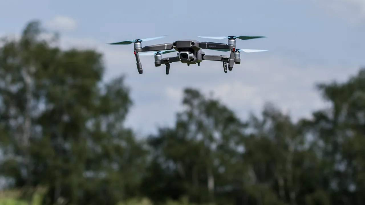
If you are planning a trip to southern Utah and hoping to capture aerial footage of the famous hoodoos, you need to understand the Bryce Canyon drone laws before you pack your gear. The short answer is no: you cannot legally launch or land a drone anywhere inside Bryce Canyon National Park boundaries. This includes every overlook, trail, and parking lot within the park. However, that does not mean your trip is a total loss for aerial photography. In this guide, we will explain exactly why the ban exists, where you can find similar red-rock scenery just outside the park, and how to fly legally on nearby public lands managed by the Bureau of Land Management (BLM) and the U.S. Forest Service (USFS). You will learn the specific boundaries, the penalties for violating the ban, and the best alternative locations that offer comparable hoodoo views without breaking federal law.
Why Are Drones Banned at Bryce Canyon National Park?
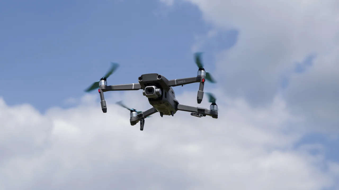
The National Park Service (NPS) implemented a nationwide ban on unmanned aircraft in 2014 under Policy Memorandum 14-05. This ban applies to all 63 national parks in the United States, including Bryce Canyon. The primary reasons are noise disruption, wildlife disturbance, and visitor safety. The narrow trails and sheer drop-offs in the Bryce Amphitheater make drone operations particularly dangerous. A lost signal or pilot error could send a drone crashing into a hiker or into fragile geological formations.
Rangers at Bryce Canyon actively enforce this ban. If you are caught flying a drone within park boundaries, you face a federal citation with fines starting at $250 and potentially reaching $5,000 for repeat violations. Your equipment may also be confiscated. There are no designated “drone zones” within the park, and no permit system exists for recreational or commercial drone use. The ban is absolute.
Bryce Canyon Drone Ban: Which Specific Areas Are Off-Limits?
The entire 35,835 acres of Bryce Canyon National Park are off-limits. This includes every named viewpoint and trail within the park. You cannot fly at Inspiration Point, Sunset Point, Sunrise Point, Bryce Point, or any other overlook along the Rim Trail. The popular Navajo Loop and Queens Garden trails are also included in the restricted area. The park boundary extends well beyond the main amphitheater, so even remote sections like Rainbow Point and Yovimpa Point at the southern end of the park are covered by the ban.
It is important to note that the park’s airspace extends from the ground up to 400 feet AGL (the typical maximum for recreational drone flight). Flying above the rim but still within the park’s vertical airspace is not a loophole. The FAA and NPS coordinate enforcement, and a violation is a violation regardless of altitude.
Can I Fly a Drone at the Hoodoos in Utah Outside the Park?
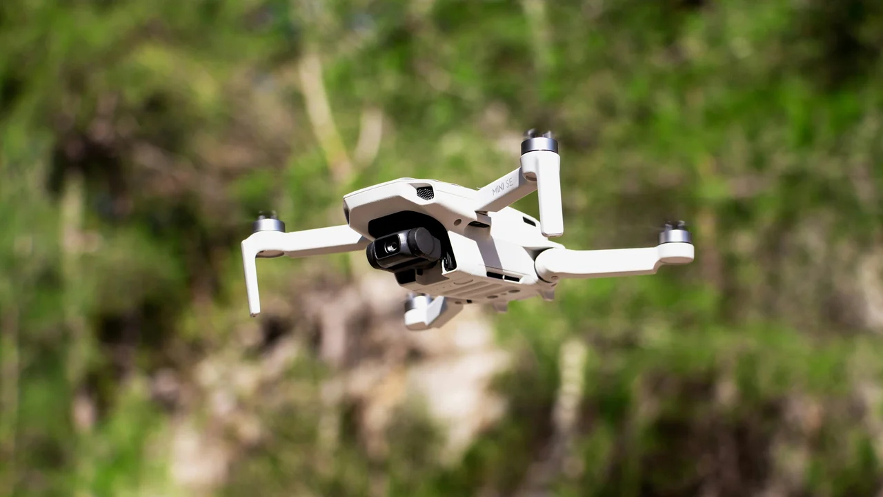
Yes, but only on specific public lands that are not managed by the NPS. The iconic hoodoo formations are not exclusive to Bryce Canyon National Park. The same geological layer — the Claron Formation — extends into surrounding areas managed by the U.S. Forest Service (Dixie National Forest) and the Bureau of Land Management (Grand Staircase-Escalante National Monument). In these areas, drone flight is generally permitted as long as you follow FAA regulations and any local land-use rules.
The key distinction is land management agency. NPS = banned. USFS and BLM = generally open, but with some restrictions. You must still register your drone with the FAA if it weighs over 0.55 lbs (250 grams), keep it within visual line of sight, and stay below 400 feet AGL. You also cannot fly over or near any designated wilderness areas, which exist within both Dixie National Forest and Grand Staircase-Escalante.
Dixie National Forest: The Best Alternative for Hoodoo Drone Footage
Dixie National Forest surrounds Bryce Canyon National Park on three sides (north, east, and west). The forest contains several areas with exposed hoodoo formations that are visually similar to those inside the park. The most accessible and popular location is Red Canyon, located directly on Utah State Highway 12, about 10 miles west of the Bryce Canyon entrance.
Red Canyon is managed by the USFS and is not a national park. Drones are generally allowed here, provided you do not harass wildlife, disturb other visitors, or operate in a manner that creates a safety hazard. There are no designated drone launch sites, but the wide-open vistas and pull-offs along the highway make it easy to find a safe spot to take off. The hoodoos at Red Canyon are smaller and less dense than those in Bryce Amphitheater, but the color and texture are nearly identical because they come from the same geological formation.
Find a Safe Launch Point
Pull into a designated Forest Service parking area or wide shoulder along US-12 near Red Canyon. Avoid blocking traffic or parking in vegetation.
Check for Temporary Restrictions
Wildfires or active firefighting operations can close airspace. Check the Dixie National Forest website or call the local ranger station before flying.
Fly Responsibly
Keep your drone below 400 feet AGL, maintain visual line of sight, and avoid flying over groups of hikers or horseback riders on the Red Canyon Trail.
Grand Staircase-Escalante National Monument: BLM Land Open to Drones
Grand Staircase-Escalante National Monument (GSENM) is a vast, 1.87-million-acre area managed by the BLM that lies directly east and south of Bryce Canyon. The monument contains spectacular geology, including slot canyons, mesas, and occasional hoodoo-like formations. The BLM does not have a blanket ban on drones, so recreational and commercial drone use is generally allowed across the monument.
However, there are important exceptions. You cannot fly in designated wilderness areas within the monument, such as the Paria Canyon-Vermilion Cliffs Wilderness. You also cannot fly in a way that harasses wildlife, which is abundant in the monument — bighorn sheep, pronghorn, and raptors are common. The BLM also prohibits drone use near developed recreation sites like the Escalante Interagency Visitor Center if it interferes with other visitors. Always yield to manned aircraft; the area is popular with backcountry pilots.
Drone Laws Near Bryce Canyon Utah: A Complete Area-by-Area Guide
To help you plan your flight locations, here is a breakdown of every major land area within 30 miles of Bryce Canyon National Park and its drone status.
| Location | Managing Agency | Drones Allowed? | Notes |
|---|---|---|---|
| Bryce Canyon National Park | NPS | No | Strict ban, federal fines apply |
| Red Canyon (US-12) | USFS (Dixie National Forest) | Yes | Best hoodoo alternative; follow forest rules |
| Grand Staircase-Escalante NM | BLM | Yes | Avoid wilderness areas; check for fire closures |
| Dixie National Forest (general) | USFS | Yes | Most areas open; wilderness areas restricted |
| Kodachrome Basin State Park | Utah State Parks | No | State parks ban drones unless permit obtained |
| Escalante Petrified Forest State Park | Utah State Parks | No | State park ban; no drone flights allowed |
| Capitol Reef National Park | NPS | No | ~75 miles north; same NPS ban applies |
Utah State Parks: Kodachrome Basin and Escalante Petrified Forest
Utah State Parks have their own drone policy, which is separate from the NPS ban. Generally, Utah State Parks prohibit drone operations unless you obtain a special use permit. This applies to Kodachrome Basin State Park, located about 20 miles east of Bryce Canyon, and Escalante Petrified Forest State Park, located about 25 miles northeast. Both parks have stunning scenery, but you cannot fly a drone there without prior written permission from the park manager.
If you want to fly in a state park, contact the park office at least two weeks in advance and explain your purpose. Permits are rarely granted for purely recreational flights, but commercial film crews with liability insurance may have better luck. For most tourists, it is simpler to stick with USFS or BLM land.
Capitol Reef National Park: Another Nearby NPS Ban
Capitol Reef National Park is located approximately 75 miles north of Bryce Canyon along Utah Highway 12. It is a stunning park with colorful cliffs, natural bridges, and the historic Fruita orchards. However, it is also a national park, meaning the same NPS drone ban applies. Do not attempt to fly at Capitol Reef. The park is less crowded than Bryce, but rangers still patrol and enforce the ban. If you are driving the entire Scenic Byway 12 loop, plan your drone flights only on the sections that pass through Dixie National Forest and Grand Staircase-Escalante.
How to Check Airspace Restrictions Before You Fly Near Bryce Canyon
Even on BLM and USFS land, you must comply with FAA airspace rules. Bryce Canyon National Park sits within a relatively remote area, but there are still airports and flight paths to consider. The nearest airport with regular traffic is Bryce Canyon Airport (KBCE), a small general aviation field located just outside the park’s western boundary. There is also the Panguitch Municipal Airport to the north. You must avoid flying within 5 miles of these airports unless you coordinate with air traffic control.
Use the FAA’s B4UFLY app or a third-party app like AirMap or Kittyhawk to check for temporary flight restrictions (TFRs) and controlled airspace. The area around Bryce Canyon is generally Class G (uncontrolled) airspace, which is permissive for drone flight. However, wildfire TFRs are common in southern Utah during summer months. A TFR can close a large area to all drone operations for days or weeks at a time.
Pros of Flying Near Bryce Canyon
- Stunning red-rock scenery with hoodoo formations
- Large areas of open BLM and USFS land
- Class G airspace in most locations
- Low population density means fewer privacy concerns
Cons of Flying Near Bryce Canyon
- National park and state park bans limit options
- Wildfire TFRs can shut down entire areas
- Limited cell service for app-based airspace checks
- Wildlife harassment laws strictly enforced
Final Thoughts: How to Get Drone Footage of Hoodoos Without Breaking the Law
Your best strategy for capturing drone footage of hoodoos near Bryce Canyon is to focus your efforts on Red Canyon along US-12 and the accessible portions of Grand Staircase-Escalante National Monument. Both locations offer geological features that are visually similar to those inside the national park, and both are managed by agencies that permit recreational drone flight. Always check for temporary restrictions before you go, especially during fire season from June through September. Use our No-Fly Zone Checker to verify the airspace status of any location before you launch.
Do not be tempted to launch from a pull-out just outside the park boundary and fly over the rim. Rangers monitor this behavior, and the NPS works with the FAA to track drone flights in restricted airspace. The fine is not worth the footage. Plan your flights responsibly, respect the land management rules, and you can still return home with stunning aerial imagery of southern Utah’s iconic red-rock landscape.
Frequently Asked Questions
Are drones allowed at Bryce Canyon?
No, drones are strictly prohibited at Bryce Canyon National Park. The National Park Service implemented a nationwide ban on unmanned aircraft in 2014, and Bryce Canyon enforces this regulation without exceptions. You cannot launch, land, or operate a drone anywhere within the park boundaries, including all overlooks, trails, and backcountry areas. Violators face federal fines starting at $250 and potential equipment confiscation.
Can I fly a drone at the hoodoos in Utah?
It depends on which hoodoos you mean. The hoodoos inside Bryce Canyon National Park are off-limits to drones. However, similar hoodoo formations exist on adjacent public lands managed by the U.S. Forest Service and the Bureau of Land Management. Red Canyon in Dixie National Forest is the most accessible alternative, and Grand Staircase-Escalante National Monument also contains hoodoo-like rock formations where drone flight is generally permitted. Always verify the specific land management agency before flying.
Where can I fly a drone near Bryce Canyon?
The best locations for flying a drone near Bryce Canyon are Red Canyon on Utah Highway 12 (Dixie National Forest) and Grand Staircase-Escalante National Monument (BLM land). Both areas are within a 30-minute drive of the national park and offer similar red-rock scenery. You must still follow all FAA regulations, including drone registration for aircraft over 0.55 lbs, maintaining visual line of sight, and staying below 400 feet AGL. Avoid flying over wilderness areas and developed recreation sites.
Is Grand Staircase-Escalante open to drones?
Yes, Grand Staircase-Escalante National Monument is generally open to recreational and commercial drone use. The monument is managed by the BLM, which does not have a blanket ban on drones. However, you cannot fly in designated wilderness areas within the monument, such as the Paria Canyon-Vermilion Cliffs Wilderness. You must also avoid harassing wildlife and interfering with other visitors or manned aircraft. Check for temporary fire closures before your flight, as TFRs are common in summer.
What is Red Canyon and can I fly there?
Red Canyon is a section of Dixie National Forest located along Utah Highway 12, approximately 10 miles west of Bryce Canyon National Park. It features hoodoo formations and red-rock cliffs that are geologically identical to those inside the park. Drones are generally allowed in Red Canyon because it is USFS land, not NPS land. You can fly from pull-offs and parking areas, but you must follow all FAA rules and avoid disturbing hikers on the Red Canyon Trail. No permit is required for recreational flight.
Are drones banned on Utah State Highway 12?
Utah State Highway 12 itself is a public roadway, and you cannot launch a drone from the pavement or obstruct traffic. However, the land adjacent to the highway varies in management. Sections passing through Dixie National Forest and Grand Staircase-Escalante are open to drone flight as long as you launch from a safe pull-off or parking area. Sections passing through Bryce Canyon National Park or state parks are restricted. Always check the specific land ownership before flying near the highway.
Last updated: June 25, 2026
- National Park Service Policy Memorandum 14-05
- FAA Part 107 and 44809 Regulations
- Dixie National Forest Land Management Plan
- Bureau of Land Management Grand Staircase-Escalante National Monument Resource Management Plan
Drone Allowed
DroneAllowed editor covering drone regulations, aviation law, and aerial photography across USA, UK, Canada & Australia.