
SFO Drone Laws 2026: San Francisco Airport Airspace & No-Fly Zone
 14 min read
2,758 words
14 min read
2,758 words
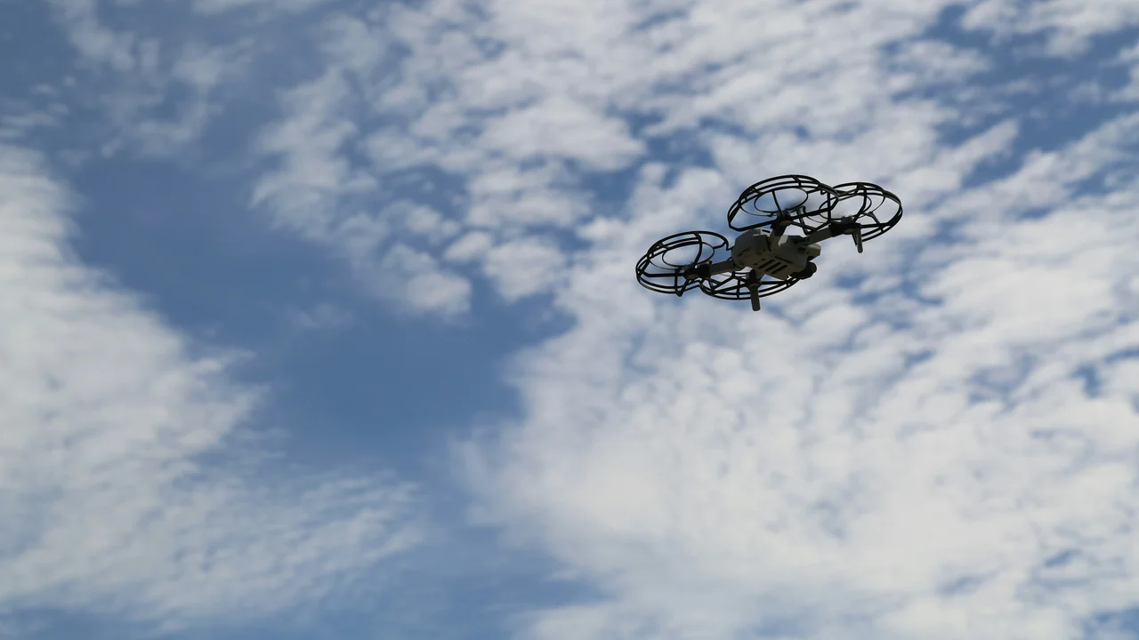
Understanding SFO Airport Drone Laws: A Complete Guide for Bay Area Pilots
If you fly a drone anywhere in the San Francisco Bay Area, you are almost certainly operating within the SFO airport drone no-fly zone. SFO (KSFO) sits on a peninsula jutting into the bay, and its Class B airspace, combined with Oakland (OAK) and San Jose (SJC) airports, creates a nearly seamless blanket of controlled airspace covering the entire bay, including iconic locations like the Golden Gate Bridge and Alcatraz. In this guide, you will learn exactly where you can and cannot fly, how to obtain LAANC authorization, and the specific rules for every major landmark in the region.
What Are the SFO Drone No-Fly Zone Boundaries?

The SFO drone no-fly zone is defined by the airport’s Class B airspace. This is the most restrictive airspace class for drone operations. The SFO Class B airspace extends from the surface up to 10,000 feet MSL and has a complex, tiered structure that covers San Francisco, most of the bay, and parts of the surrounding Peninsula. The inner ring (the “core”) extends roughly 5 nautical miles from the airport, while the outer rings reach up to 20 nautical miles.
For drone pilots, this means that virtually any flight within San Francisco city limits, over the bay, or near the Golden Gate Bridge requires prior authorization from the FAA through the LAANC system. There is no “open” airspace for recreational or commercial drones within the SFO Class B boundaries. The only exception is if you are flying in uncontrolled airspace (Class G) far enough away, such as in parts of the East Bay hills or the Marin Headlands west of the Golden Gate National Recreation Area.
San Francisco Bay Drone Rules: Three Airports Cover the Entire Bay
The Bay Area is unique because three major airports—SFO (Class B), Oakland International (OAK, Class C), and San Jose International (SJC, Class C)—create a nearly continuous airspace blanket over the entire San Francisco Bay. Understanding these overlapping zones is critical for any Bay Area drone pilot.
SFO (KSFO) — Class B Airspace
SFO’s Class B airspace is the primary restriction for the western half of the bay. It extends from the surface to 10,000 feet MSL and covers San Francisco, the northern Peninsula, and the bay waters directly west of the airport. The outer ring reaches approximately 20 nautical miles, encompassing the Golden Gate Bridge, Alcatraz, and the Bay Bridge. To fly anywhere within this zone, you must obtain LAANC authorization, which is typically available for altitudes up to 200 feet AGL in the outer rings, but often limited to 0 feet in the inner ring.
OAK (Oakland) — Class C Airspace
Oakland International Airport (OAK) has Class C airspace that extends from the surface to 4,000 feet MSL. This airspace covers the eastern half of the bay, including the Oakland Estuary, Alameda, and parts of the bay near the San Mateo Bridge. The Class C airspace has a 5-nautical-mile inner ring and a 10-nautical-mile outer ring. LAANC authorization is available for OAK as well, but altitude limits are often lower near the airport itself.
SJC (San Jose) — Class C Airspace
San Jose International Airport (SJC) also has Class C airspace, covering the southern end of the bay. This airspace extends from the surface to 4,000 feet MSL and includes areas near the San Jose shoreline, the Alviso Marina, and parts of the Coyote Creek trail. Like OAK, LAANC authorization is required for flights within this zone.
| Airport | Airspace Class | Altitude Limit (Typical LAANC) | Key Coverage Area |
|---|---|---|---|
| SFO (KSFO) | Class B | 0–200 ft AGL (varies by zone) | San Francisco, Golden Gate Bridge, Alcatraz, Bay Bridge |
| OAK (KOAK) | Class C | 0–200 ft AGL (varies by zone) | Oakland, Alameda, eastern bay |
| SJC (KSJC) | Class C | 0–200 ft AGL (varies by zone) | San Jose, southern bay shoreline |
Flying a Drone Near SFO: The Golden Gate Bridge and Alcatraz
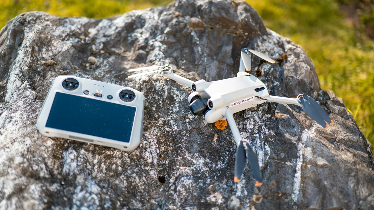
Two of the most iconic drone photography locations in the world—the Golden Gate Bridge and Alcatraz Island—are both inside the SFO Class B airspace. This creates a double restriction for pilots.
Golden Gate Bridge Drone Rules
The Golden Gate Bridge sits directly within the SFO Class B outer ring. The bridge itself is approximately 4 nautical miles from the airport, meaning you are in the controlled airspace. LAANC authorization is required for any flight near the bridge. However, there is an additional layer of restriction: the bridge is part of the Golden Gate National Recreation Area (GGNRA), which is managed by the National Park Service (NPS). The NPS has a blanket ban on drone launches and landings on all lands under its jurisdiction. This means you cannot launch from the bridge sidewalks, the parking lots, or the nearby trails. You can, however, launch from public land outside the GGNRA (such as the San Francisco side near Crissy Field, which is not NPS land) and fly over the bridge with proper LAANC authorization. But be aware that the FAA restricts flights to 200 feet AGL in this area, which is often not high enough to safely clear the bridge’s towers (746 feet tall).
Use a LAANC-enabled app like Aloft or Air Control to check if authorization is available for your desired altitude near the Golden Gate Bridge. Expect limits of 0–200 feet AGL.
Choose a location outside NPS land. Crissy Field is not NPS land (it is managed by the Presidio Trust, which allows drones with a permit), but the adjacent beach and parking lots are NPS. The safest option is to launch from a public sidewalk on the San Francisco side.
Keep your drone below 200 feet AGL, maintain visual line of sight, and avoid flying over people or vehicles on the bridge. The FAA can issue fines for unauthorized flights.
Alcatraz Island Drone Rules
Alcatraz Island is a double-restricted zone. First, it is inside the SFO Class B inner ring, meaning LAANC authorization is required. Second, Alcatraz is a National Park Service (NPS) site, which bans drone launches and landings on the island. The NPS ban applies to the entire island, including the docks and the prison building. You cannot launch from the island or from any ferry that docks there. If you want to photograph Alcatraz from the air, you must launch from a legal location outside NPS land (such as Fisherman’s Wharf or a boat on the bay) and obtain LAANC authorization for the airspace. Even then, the FAA altitude limit in this area is typically 100 feet AGL or less, making it challenging to get a clear shot of the island without flying too high.
San Francisco Bay Open Water: Inside Class B Airspace
Many pilots assume that flying over open water is less restricted, but this is not the case in the Bay Area. The entire San Francisco Bay—from the Golden Gate to the San Mateo Bridge—is inside either SFO’s Class B or OAK’s Class C airspace. This means that even if you launch from a boat or a shoreline park, you need LAANC authorization. The FAA considers the airspace over the bay as controlled airspace, and flying without authorization can result in fines of up to $27,500 per violation. The only exception is if you are flying in the far northern bay near the Carquinez Strait, which is outside the Class B/C rings but still requires ADS-B and other considerations for manned aircraft.
Marin Headlands and the Golden Gate National Recreation Area
The Marin Headlands, located north of the Golden Gate Bridge, are part of the Golden Gate National Recreation Area (GGNRA). This area is managed by the NPS, which has a strict ban on drone launches and landings. However, there is a key difference: the Marin Headlands are generally outside the SFO Class B airspace. The Class B outer ring ends roughly at the Marin County coastline. This means that the airspace over the Marin Headlands is Class G (uncontrolled) in many areas, but the NPS ban still applies to the ground. You cannot launch from any NPS land, including the Battery Spencer parking lot, the Slacker Hill trail, or the Rodeo Beach. To fly over the Golden Gate Bridge from the north, you would need to launch from private or non-NPS public land (such as the town of Sausalito) and then fly into the SFO Class B airspace with LAANC authorization.
Bay Bridge and San Francisco City Parks
The Bay Bridge (officially the San Francisco–Oakland Bay Bridge) is entirely inside the SFO Class B airspace. The bridge spans from San Francisco to Oakland, crossing the bay directly under the SFO approach path. LAANC authorization is required for any flight near the bridge. Additionally, the bridge itself is managed by Caltrans, which prohibits drone operations from the bridge structure or its approaches. You can, however, fly near the bridge from a legal launch point, such as the San Francisco waterfront or Treasure Island (which is also inside Class B).
San Francisco city parks, including Golden Gate Park, Dolores Park, and the Presidio, have their own rules. The San Francisco Recreation and Park Department (SFRPD) bans drone operations in all city parks without a special permit. This means you cannot launch or land a drone in any park managed by the city. The Presidio, which is a national park site but managed by the Presidio Trust, allows drones with a permit (available through the Trust’s website). However, the airspace above the Presidio is still inside SFO’s Class B, so LAANC authorization is also required.
Half Moon Bay Airport (KHAF) — Class D Airspace
For pilots looking to fly along the Pacific Coast, Half Moon Bay Airport (KHAF) is a Class D airport located about 15 miles south of SFO. This airport has a control tower and a Class D airspace ring that extends from the surface to 2,500 feet MSL within a 5-nautical-mile radius. This airspace covers much of the coastal area from Pacifica to Pescadero. LAANC authorization is available for KHAF, but altitude limits are typically 100–200 feet AGL. The good news is that the coastline south of Half Moon Bay (near Año Nuevo State Park) is outside any controlled airspace, making it a popular spot for coastal drone flights.
How to Get LAANC Authorization for San Francisco Bay
Getting LAANC authorization for the San Francisco Bay is a straightforward process, but it requires planning. Here is what you need to do:
- Use a FAA-approved LAANC service provider such as Aloft (formerly Kittyhawk), Air Control, or the FAA’s own DroneZone.
- Select the area you want to fly in and check the maximum altitude available. For SFO’s Class B, this is often 0 feet in the inner ring and 100–200 feet in the outer rings.
- Submit your authorization request. Most requests are approved automatically within seconds.
- If your desired altitude is not available through LAANC, you can submit a manual authorization request through the FAA DroneZone, but this can take weeks to process.
Summary: Navigating SFO Drone Laws in 2026
The San Francisco Bay Area presents one of the most complex drone airspace environments in the United States. With SFO’s Class B, OAK’s Class C, and SJC’s Class C airspace covering virtually every square mile of the bay, and with iconic landmarks like the Golden Gate Bridge and Alcatraz sitting squarely inside these zones, planning is essential. Your actionable takeaway is this: always use a LAANC-enabled app before flying, never assume open water is unrestricted, and respect NPS land bans. For a quick check of any location in the Bay Area, use our No-Fly Zone Checker to see if your planned flight is legal. With proper authorization and careful planning, you can still capture stunning aerial footage of the Bay Area—just make sure you are flying within the rules.
Frequently Asked Questions
What is the drone no-fly zone around SFO?
The drone no-fly zone around SFO is the Class B airspace that extends from the surface to 10,000 feet MSL within approximately 20 nautical miles of the airport. This includes all of San Francisco, the bay waters, and parts of the Peninsula. Any drone flight within this zone requires prior LAANC authorization from the FAA. The inner ring (within 5 nautical miles) typically has a 0-foot altitude limit, meaning no drone operations are allowed without special permission.
Can I fly a drone near the Golden Gate Bridge?
Yes, but with significant restrictions. The Golden Gate Bridge sits inside the SFO Class B outer ring, so you need LAANC authorization, typically limited to 200 feet AGL. Additionally, the bridge is part of the Golden Gate National Recreation Area, which bans drone launches and landings on NPS land. You must launch from a non-NPS location, such as a public sidewalk on the San Francisco side, and keep your drone below 200 feet. The bridge’s towers are 746 feet tall, so you cannot legally fly above them.
Is San Francisco Bay inside SFO airspace?
Yes, the vast majority of San Francisco Bay is inside controlled airspace. The western half of the bay, including areas near the Golden Gate Bridge and Alcatraz, is inside SFO’s Class B airspace. The eastern half near Oakland is inside OAK’s Class C airspace, and the southern end near San Jose is inside SJC’s Class C airspace. This means that every square mile of the bay from the Golden Gate Bridge to the Dumbarton Bridge requires LAANC authorization for drone flights.
How do I get LAANC for San Francisco Bay?
You can get LAANC authorization through any FAA-approved service provider, such as Aloft, Air Control, or the FAA DroneZone. Simply open the app, select your flight location on the map, and check the maximum altitude available. For SFO’s Class B, this is often 0–200 feet AGL depending on your distance from the airport. Submit your request and it is typically approved within seconds. If your desired altitude is not available, you can submit a manual authorization request through the FAA DroneZone, but this can take 30–90 days to process.
Can I fly a drone in San Francisco near the airport?
Flying a drone in San Francisco near SFO is possible but highly restricted. The entire city is inside the SFO Class B airspace, so you need LAANC authorization for any flight. Additionally, San Francisco city parks ban drone operations without a permit, and the Presidio requires a separate permit from the Presidio Trust. The maximum altitude in most of San Francisco is 100–200 feet AGL. You should always check both airspace and land-use restrictions before flying.
Is Alcatraz Island a drone no-fly zone?
Yes, Alcatraz Island is effectively a drone no-fly zone due to a double restriction. First, it is inside the SFO Class B inner ring, meaning LAANC authorization is required, but the altitude limit is often 0 feet. Second, Alcatraz is a National Park Service site, which bans drone launches and landings on the island. You cannot launch from the island or from any ferry. To photograph Alcatraz from the air, you would need to launch from a legal location outside NPS land, such as Fisherman’s Wharf, and obtain LAANC authorization for the airspace.
Last updated: July 04, 2026
- Federal Aviation Administration (FAA) — faa.gov
- FAA DroneZone — faadronezone.faa.gov
- National Park Service (NPS) — nps.gov
- San Francisco Recreation and Park Department
Drone Allowed
DroneAllowed editor covering drone regulations, aviation law, and aerial photography across USA, UK, Canada & Australia.