
Minnesota Drone Laws 2026: Boundary Waters, BWCA & Rules
 14 min read
2,611 words
14 min read
2,611 words
What Are the Federal FAA Drone Rules That Apply in Minnesota?
Before considering any state or local laws, you must comply with the Federal Aviation Administration (FAA) regulations. These rules apply to every drone flight in the United States, including Minnesota. The FAA is the sole authority over national airspace, meaning no state or local law can override its safety and operational rules for airspace use.
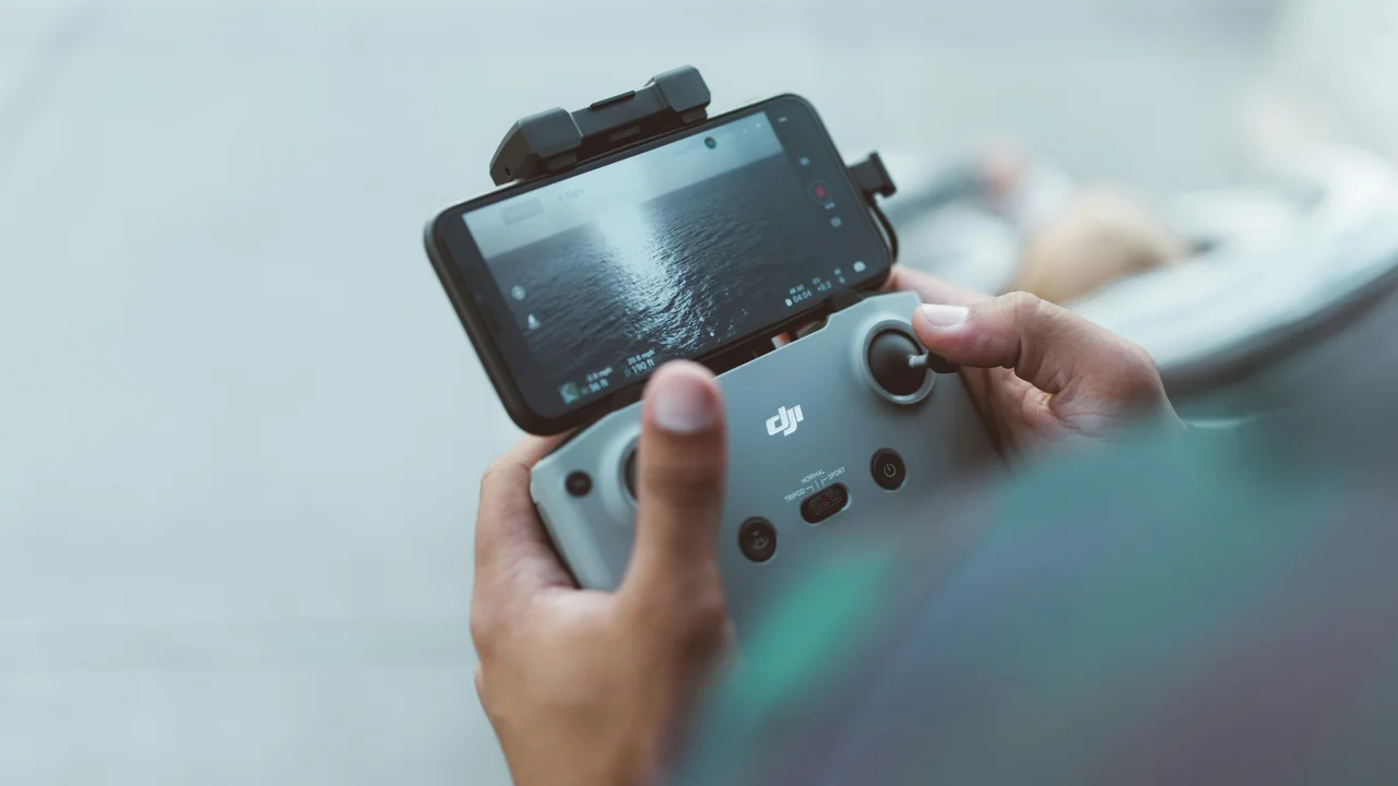
If your drone weighs more than 0.55 pounds (250 grams), you must register it with the FAA through the FAA DroneZone for a fee of $5, valid for three years. For recreational flyers, the basic rules include keeping your drone in visual line-of-sight, flying below 400 feet above ground level (AGL), and avoiding manned aircraft. You must also pass the TRUST (The Recreational UAS Safety Test) and carry proof of completion.
For commercial operations, you need a Part 107 Remote Pilot Certificate. This requires passing a knowledge test at an FAA-approved testing center. You must also obtain airspace authorization through the LAANC (Low Altitude Authorization and Notification Capability) system before flying in controlled airspace, such as near airports. These federal rules are your non-negotiable baseline.
What Does Minnesota State Law (MS 360.075) Say About Drones?
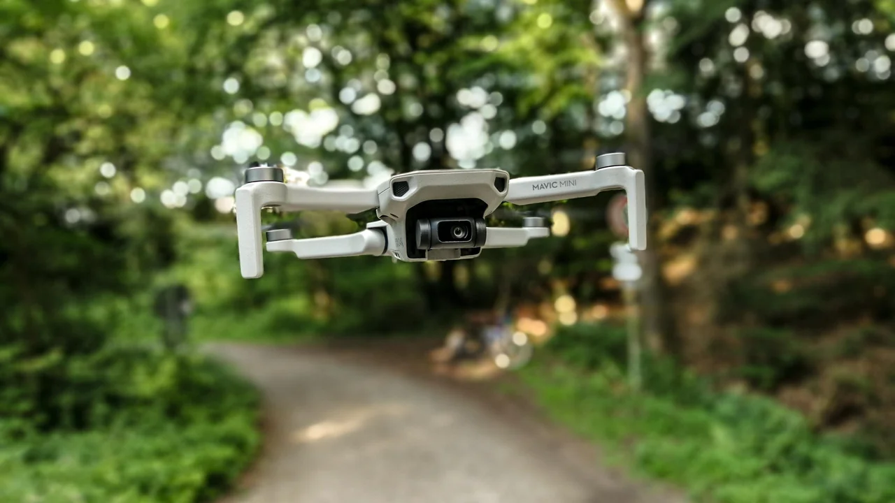
Minnesota has its own drone statute, Minnesota Statutes Section 360.075, which addresses the operation of unmanned aircraft systems (UAS). This law primarily focuses on privacy and trespassing concerns. It prohibits the use of a drone to record or photograph an individual or their property without consent when the individual has a reasonable expectation of privacy. This includes capturing images through windows or other openings of a private residence.
What does this mean for your flight? You cannot fly over someone’s backyard and film them sunbathing or inside their home. The law also creates a trespassing offense if you operate a drone over private property in a manner that interferes with the owner’s use and enjoyment of the land. While this law does not create a blanket ban on flying over private property, it imposes liability for intrusive or harassing behavior. Violations can result in a misdemeanor charge.
It is important to understand that MS 360.075 does not regulate airspace—that is the FAA’s domain. Instead, it regulates the act of recording and the intent of the operator. If you are flying legally in FAA airspace but using the drone to spy on someone, you are violating state law. Always respect people’s privacy, especially near homes and cabins.
Are Drones Banned in the Boundary Waters (BWCA)?
Yes, drones are completely banned in the Boundary Waters Canoe Area Wilderness (BWCA). This is the most important rule for any pilot visiting northeastern Minnesota. The BWCA is a federally designated Wilderness Area under the Wilderness Act of 1964. The act prohibits the use of “motorized equipment” and “mechanical transport” within wilderness boundaries. The U.S. Forest Service (USFS) has explicitly classified drones as motorized equipment.
This means you cannot launch, land, or fly a drone anywhere inside the BWCA. This includes the lakes, portages, campsites, and trails. The ban is absolute. There are no exceptions for recreational or commercial use. Even if you are floating on a canoe in the middle of a lake, flying a drone above you is illegal.
The BWCA is one of the most visited wilderness areas in the United States, attracting over 150,000 visitors annually. The ban is enforced by the U.S. Forest Service law enforcement officers. Penalties can include fines up to $5,000 and seizure of your drone. If you are planning a trip to the BWCA, leave your drone at home or in your car outside the wilderness boundary.
What Are the Drone Rules for Superior National Forest (Surrounding the BWCA)?
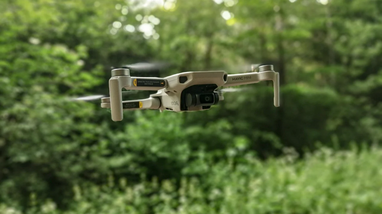
The Superior National Forest surrounds the BWCA and has different rules. While the BWCA is a no-fly zone, the rest of the Superior National Forest is generally open to drone flight, subject to FAA rules and USFS land management policies. However, you must check specific area restrictions.
The USFS allows drone operations on National Forest System lands as long as you do not interfere with wildlife, other visitors, or emergency operations. You cannot harass wildlife, which includes flying close to nesting birds or mammals. You also cannot take off or land from developed recreation sites like campgrounds, picnic areas, or trailheads without a special use permit. This is a common restriction that many pilots miss.
What does this mean for your flight? You can fly over remote areas of the Superior National Forest, such as the Gunflint Trail area or the Sawtooth Mountains, but you must launch from a non-developed location. Always check the local Forest Service ranger district for temporary flight restrictions (TFRs) due to wildfires or wildlife management. Use the No-Fly Zone Checker before heading out.
Can You Fly a Drone in Voyageurs National Park?
No, drones are banned in Voyageurs National Park. As a unit of the National Park Service (NPS), Voyageurs National Park is subject to the NPS policy that prohibits the launching, landing, or operation of unmanned aircraft on lands and waters administered by the National Park Service. This policy was established in 2014 through Policy Memorandum 14-05 and is still in effect in 2026.
The ban covers the entire park, including the four large lakes (Rainy, Kabetogama, Namakan, and Sand Point) and the Kabetogama Peninsula. You cannot fly a drone from a houseboat, a campsite, or a boat within the park boundaries. The NPS enforces this ban, and violations can result in fines and confiscation of equipment.
Voyageurs National Park is a popular destination for paddling, fishing, and stargazing. The drone ban is strictly enforced by park rangers. If you want aerial footage of the park, you must obtain a special use permit, which is rarely granted for recreational purposes and typically reserved for scientific research or official park projects.
What Are the Drone Laws in Minneapolis and Near MSP Airport?
Minneapolis is located within the Class B airspace of Minneapolis-Saint Paul International Airport (MSP). This is the most controlled airspace in the state. You cannot fly a drone in Class B airspace without prior authorization from the FAA through the LAANC system. The default restriction is a zero-altitude grid over the airport runways and approach paths.
Even with LAANC authorization, you will likely be limited to very low altitudes, often 50 to 100 feet AGL, and only in specific areas far from the runways. The city of Minneapolis also has local ordinances regarding drones in city parks, but the FAA has preempted most local airspace restrictions. However, the city can enforce trespassing and privacy laws.
What does this mean for your flight? If you want to fly in Minneapolis, you must use a LAANC-enabled app like B4UFLY or Air Control to request authorization. For example, flying near the Stone Arch Bridge or U.S. Bank Stadium may be possible with a LAANC approval, but you must be at least 3 miles from the airport and under 100 feet AGL. Always check the airspace map before launching.
- Check LAANC authorization before flying anywhere in the MSP Class B airspace.
- Do not fly within 5 miles of any airport without FAA approval.
- Respect local park rules—Minneapolis Parks and Recreation Board may require permits for commercial filming.
- Avoid flying over crowds, especially during events at Target Field or U.S. Bank Stadium.
What Are the Drone Rules for Minnesota State Parks?
Flying a drone in Minnesota State Parks is allowed, but you need a permit. The Minnesota Department of Natural Resources (DNR) manages the state park system and has a specific policy for unmanned aircraft. You must obtain a Special Use Permit before launching, landing, or operating a drone within any state park, recreation area, or wayside.
The permit application process requires you to specify the date, location, and purpose of your flight. The DNR reviews each application to ensure the flight does not interfere with wildlife, other visitors, or park operations. Permits are typically granted for educational, scientific, or commercial purposes. Recreational flights are rarely approved unless they are part of a park-sponsored event.
What does this mean for your flight? You cannot simply walk into a state park and start flying. You must apply for a permit at least 30 days in advance. Popular parks like Gooseberry Falls, Itasca State Park, and Tettegouche State Park are strict about this rule. If you are caught flying without a permit, you can be cited for a misdemeanor and banned from the park.
| Park Type | Drone Rules | Permit Required? |
|---|---|---|
| Minnesota State Parks | Allowed with permit | Yes, Special Use Permit from DNR |
| BWCA (Wilderness) | Completely banned | No exceptions |
| Voyageurs National Park | Completely banned | No exceptions (rare scientific permits) |
| Superior National Forest | Generally allowed (avoid developed sites) | No permit needed for recreational flight |
| Chippewa National Forest | Generally allowed | No permit needed for recreational flight |
Can You Fly a Drone Along the Lake Superior Shoreline?
Flying along the Lake Superior shoreline in Minnesota is a popular activity, but you must be careful about jurisdiction. The lake itself is considered navigable water, and the FAA regulates airspace above it. However, the shoreline includes state parks, national forest lands, and private property.
If you are flying over the water from a boat, you are subject to FAA rules. You must maintain visual line-of-sight and stay below 400 feet AGL. If you are flying from the shore, you must comply with the land management rules of that specific location. For example, if you are at Split Rock Lighthouse State Park, you need a DNR permit. If you are on a public beach in a city like Duluth, you may face local ordinances against drones.
The city of Duluth has a municipal code that prohibits drones from taking off or landing on city property, including parks and beaches, without a permit. This means you cannot launch from Canal Park or Park Point. You can, however, fly over the water if you launch from a private boat or from a location outside city limits. Always check local city ordinances before flying near the shore.
What Are the Drone Rules for Chippewa National Forest?
The Chippewa National Forest, located in north-central Minnesota, is generally open to drone flight. Unlike the BWCA, which is a designated wilderness, the Chippewa National Forest allows recreational drone use as long as you follow FAA regulations and USFS land management policies. You do not need a permit for recreational flight.
However, there are restrictions. You cannot launch or land from developed recreation sites like campgrounds, picnic areas, or boat ramps without a special use permit. You also cannot disturb wildlife, including bald eagles, which are common in the area. The Chippewa National Forest has the highest density of nesting bald eagles in the lower 48 states, so you must keep a safe distance of at least 330 feet from any nest.
What does this mean for your flight? You can fly over remote areas of the Chippewa National Forest, such as the Cut Foot Sioux Trail or the Mississippi Headwaters area, but you must launch from a non-developed location. Always check for temporary flight restrictions due to wildfires or firefighting operations. Use the Weight Checker to confirm your drone does not exceed registration thresholds.
Summary: Key Takeaways for Flying in Minnesota
Navigating Minnesota drone laws in 2026 requires understanding three layers: federal FAA rules, state statutes, and federal land management policies. The most critical rule is the absolute ban on drones in the BWCA and Voyageurs National Park. These are federal wilderness and park areas with zero tolerance for drone operations.
For state parks, you must obtain a DNR Special Use Permit in advance. For national forests like Superior and Chippewa, you can fly recreationally but avoid developed sites and wildlife. In Minneapolis, you need LAANC authorization for the MSP Class B airspace. Along the Lake Superior shoreline, respect city ordinances and private property rights.
My actionable recommendation: Before any flight in Minnesota, use the No-Fly Zone Checker to identify restricted areas. If you are heading to the BWCA or Voyageurs, leave your drone at home. The fines are steep, and the wilderness experience is best enjoyed without the hum of a drone overhead. Always prioritize safety, privacy, and compliance.
Frequently Asked Questions
Are drones allowed in the Boundary Waters?
No, drones are not allowed in the Boundary Waters Canoe Area Wilderness (BWCA). The area is protected under the Wilderness Act of 1964, which prohibits motorized equipment. The U.S. Forest Service has classified drones as motorized equipment, making their use illegal anywhere within the 1.1 million acres of the BWCA. This includes lakes, portages, campsites, and trails. Violations can result in fines up to $5,000 and confiscation of your drone.
Can I fly a drone in Voyageurs National Park?
No, you cannot fly a drone in Voyageurs National Park. The National Park Service has a nationwide policy that bans the launching, landing, and operation of unmanned aircraft on all NPS-administered lands and waters. This ban covers the entire park, including the four major lakes and the Kabetogama Peninsula. There are no exceptions for recreational use, and enforcement is strict. Only scientific research with a special use permit is occasionally allowed.
What are the drone rules in Minneapolis?
Drone rules in Minneapolis are governed primarily by the FAA’s Class B airspace around MSP Airport. You must obtain LAANC authorization before flying anywhere within the controlled airspace. Typical authorizations limit flights to low altitudes, often 50 to 100 feet AGL, and far from the airport runways. Additionally, the city of Duluth has its own ordinances restricting takeoffs and landings on city property. Always check local city codes and use a LAANC-enabled app before flying.
Can I fly a drone in Minnesota State Parks?
You can fly a drone in Minnesota State Parks, but only with a Special Use Permit from the Minnesota Department of Natural Resources (DNR). This permit requires you to specify the date, location, and purpose of your flight. The DNR reviews applications to ensure the flight does not disturb wildlife or other visitors. Recreational flights are rarely approved. Without a permit, flying in a state park is illegal and can result in a misdemeanor citation.
What is Minnesota’s drone law?
Minnesota’s primary drone law is Minnesota Statutes Section 360.075. This law prohibits the use of drones to record or photograph individuals or their property without consent when there is a reasonable expectation of privacy. It also creates a trespassing offense for operating a drone over private property in a way that interferes with the owner’s use. The law does not regulate airspace—that is the FAA’s role—but it imposes strict privacy protections. Violations can lead to misdemeanor charges.
Last updated: June 25, 2026
- Federal Aviation Administration (FAA) – Part 107 and recreational rules
- Minnesota Statutes Section 360.075 (2025)
- U.S. Forest Service – BWCA and Superior National Forest drone policies
- National Park Service – Voyageurs National Park drone policy
- Minnesota Department of Natural Resources – State park drone permit requirements
Drone Allowed
DroneAllowed editor covering drone regulations, aviation law, and aerial photography across USA, UK, Canada & Australia.