British Columbia Drone Laws 2026: Mountains, Forests & Transport
If you are planning to fly a drone in British Columbia in 2026, you need to navigate a layered set of rules from Transport Canada, BC Parks, and Parks Canada. Whether you are capturing the peaks near Whistler or the coastline of Vancouver Island, understanding the British Columbia drone laws is essential to avoid fines and keep your flights legal. This guide covers everything from federal registration requirements to provincial park restrictions, wildfire Temporary Flight Restrictions (TFRs), and the best places to fly on Crown land. By the end, you will know exactly where you can and cannot fly across BC, from the Sea-to-Sky corridor to the Okanagan Valley.
What Are the Transport Canada Federal Rules for Drone Pilots in BC?

Transport Canada (TC) sets the baseline for all drone operations in Canada, including British Columbia. These rules apply regardless of where you fly in the province, and they are enforced year-round. The key requirement is that any drone weighing over 250 grams must be registered with TC and the pilot must hold a valid RPAS (Remotely Piloted Aircraft System) pilot certificate.
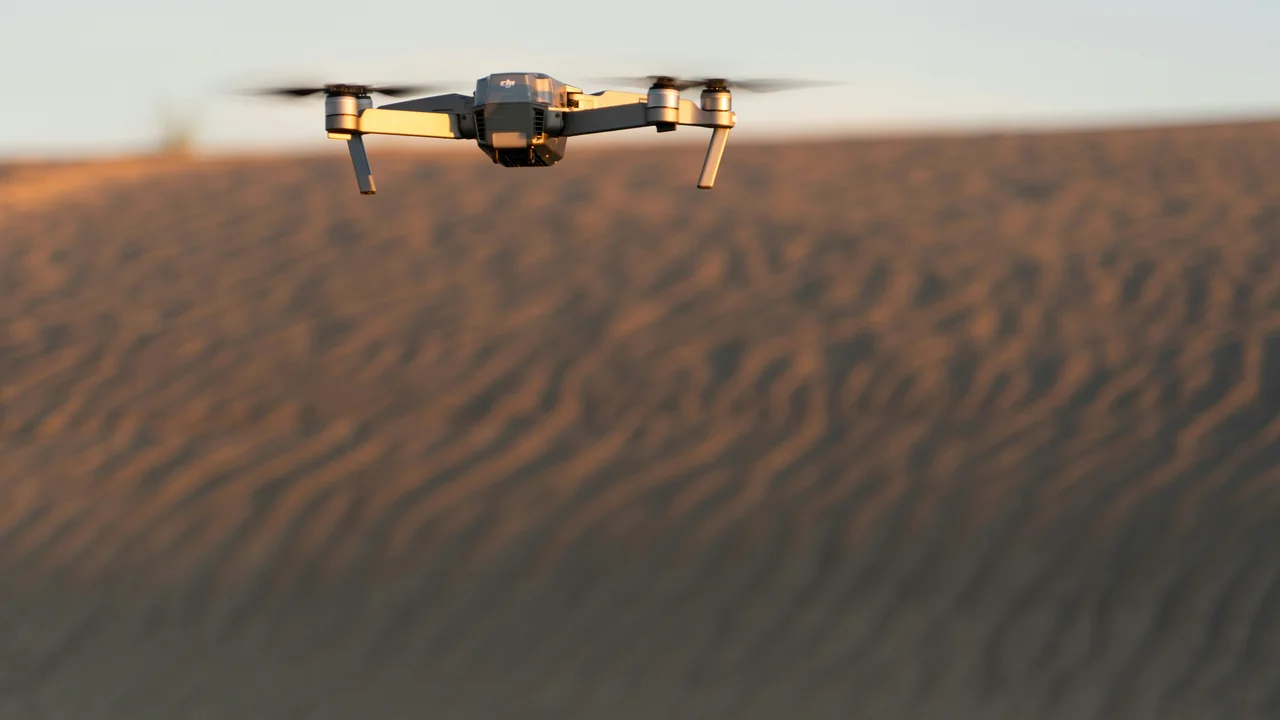
Do You Need to Register a Sub-250g Drone Like the DJI Mini 4 Pro in BC?
No, drones under 250 grams (0.55 lbs) like the DJI Mini 4 Pro do not require registration or a pilot certificate under Transport Canada rules. However, you must still follow all operational rules, including staying below 122 metres (400 feet) AGL, avoiding restricted airspace, and never flying near emergency operations. In BC, this weight threshold is critical because many popular flying locations like provincial parks and national parks ban all drones regardless of weight.
Basic vs. Advanced RPAS Pilot Certificate: Which One Do You Need?
Transport Canada offers two levels of certification. The Basic RPAS Pilot Certificate is free and requires passing an online exam. It allows you to fly in uncontrolled airspace at least 30 metres horizontally from people. The Advanced RPAS Pilot Certificate requires a paid exam and a flight review, but it permits flying in controlled airspace and closer to people. For most BC drone photographers flying in remote areas, the Basic certificate is sufficient, but if you plan to fly near Vancouver International Airport (CYVR) or Victoria International Airport (CYYJ), you will need the Advanced certificate and an airspace authorization from NAV CANADA.
BC Provincial Parks Drone Policy: What You Need to Know
BC Parks, which manages over 1,000 provincial parks, recreation areas, and conservancies, has a clear policy: drones are generally prohibited without a specific authorization. This ban applies to all types of drones, including sub-250g models, and covers both take-off and landing within park boundaries. The only exceptions are for scientific research, search and rescue operations, or commercial filming with a valid park use permit.
Which Popular BC Provincial Parks Ban Drones?
Several iconic parks in British Columbia fall under this ban. Garibaldi Provincial Park, which surrounds Whistler, is completely off-limits for drone flights. Similarly, Golden Ears Provincial Park near Maple Ridge, Cypress Provincial Park in North Vancouver, and Mount Seymour Provincial Park all prohibit drones. The Okanagan’s Skaha Bluffs Provincial Park and the Gulf Islands’ Ruckle Provincial Park are also no-fly zones. If you are caught flying a drone in a BC Provincial Park, you face fines up to C$575 and potential confiscation of your equipment.
National Parks in BC: Complete Drone Ban

Parks Canada enforces a strict ban on drones in all national parks, national park reserves, and national marine conservation areas. This includes every national park in British Columbia: Pacific Rim National Park Reserve, Gulf Islands National Park Reserve, Yoho National Park, Kootenay National Park, Mount Revelstoke National Park, and Glacier National Park. The ban also extends to Gwaii Haanas National Park Reserve in Haida Gwaii. No recreational drone flights are permitted, and permits are rarely issued except for scientific or heritage recording purposes.
Are Drones Banned in Banff National Park?
Yes, Banff National Park is part of the Parks Canada system and drones are strictly prohibited. While Banff is technically in Alberta, many BC drone pilots travel to the Rocky Mountains and assume the rules are different. They are not. The ban covers all drones, regardless of weight, and applies to the entire park including backcountry areas. The only way to fly legally in Banff is with a Parks Canada research permit, which is not available for recreational use.
Vancouver Airspace (CYVR): Navigating Class C Restrictions
Vancouver International Airport (CYVR) is a Class C airspace zone, meaning you cannot fly a drone within its boundaries without an airspace authorization from NAV CANADA. The controlled airspace extends in a radius of approximately 10 nautical miles from the airport and up to 3,000 feet AGL. Most of downtown Vancouver, Stanley Park, and the Vancouver Harbour fall within this zone. To fly legally here, you need an Advanced RPAS Certificate and a NAV CANADA authorization through the DroneZone portal.
Drone Rules in Vancouver City Parks
Even outside the airport airspace, the Vancouver Park Board prohibits drones in all city parks, including Stanley Park, Vanier Park, and Queen Elizabeth Park. These are separate from Transport Canada rules and are enforced by park rangers. The fine for flying a drone in a Vancouver park is C$250. For aerial photography of the city skyline, your best option is to launch from a private property with permission or from Crown land outside the city limits.
Victoria Airspace (CYYJ): Flying Near the Capital
Victoria International Airport (CYYJ) is also a Class C airspace zone, similar to Vancouver but with a smaller footprint. The controlled airspace covers the Saanich Peninsula, including Sidney and Brentwood Bay. The downtown Victoria harbour area is also restricted due to the Victoria Harbour Airport (CYYJ’s water aerodrome) and the nearby Canadian Forces Base Esquimalt. Drone pilots in Victoria should use the NAV CANADA DroneZone to check for active airspace restrictions before flying. The Gulf Islands, just a short ferry ride away, offer better drone opportunities but remember that Gulf Islands National Park Reserve is a no-fly zone.
Whistler Drone Rules: Garibaldi Park and Crown Land
Whistler is one of BC’s most popular drone photography destinations, but the rules are strict. Garibaldi Provincial Park, which surrounds the town, bans all drones. This means you cannot fly from Whistler Mountain, Blackcomb Mountain, or any of the hiking trails within the park boundary. However, there is good news: much of the land around Whistler is Crown land, where drone flights are generally permitted as long as you follow Transport Canada rules.
Where Can You Fly a Drone Near Whistler Legally?
The key is to use iMapBC, the provincial government’s online mapping tool, to identify Crown land parcels outside Garibaldi Park. Areas along the Sea-to-Sky Highway, such as the Callaghan Valley (outside the park boundary) and the Pemberton Valley, offer spectacular scenery and are open to drones. Always check for wildfire TFRs during summer months, as the entire Sea-to-Sky corridor can become a no-fly zone during active fires.
Sea-to-Sky Corridor: A Drone Photography Paradise with Restrictions
The Sea-to-Sky Highway (Highway 99) from Vancouver to Whistler is a world-famous drone photography route. Along this corridor, you will find provincial parks like Shannon Falls, Stawamus Chief, and Porteau Cove, all of which ban drones. However, the corridor is surrounded by Crown land and a few municipal parks that may allow drones. The key is to research each specific location. For example, the Britannia Mine Museum area is private property and requires permission. The best approach is to use iMapBC to find Crown land viewpoints along the highway and launch from there.
Gulf Islands: BC Parks and National Park Reserve Restrictions
The Gulf Islands, including Salt Spring, Galiano, and Mayne, are a mix of BC Provincial Parks and Gulf Islands National Park Reserve. All provincial parks and the national park reserve ban drones. However, there are municipal parks and Crown land pockets on some islands where drone flights are permitted. On Salt Spring Island, for example, the BC Parks-managed Ruckle Provincial Park is off-limits, but the surrounding Crown land near the coast may be open. Always check with the local municipality, as some islands have additional bylaws restricting drones for privacy reasons.
Okanagan: Agricultural Drones and Wildfire TFR Season
The Okanagan Valley is a major agricultural region, and drones are used for crop monitoring, spraying, and surveying. Transport Canada allows agricultural drone operations under specific conditions, including a Special Flight Operations Certificate (SFOC) for commercial spraying. For recreational pilots, the Okanagan offers many Crown land areas, particularly in the hills above Kelowna and Penticton. However, the summer wildfire season is critical. From June to September, large portions of the Okanagan can be under wildfire TFRs, making drone flights illegal across entire regions. Always check the BC Wildfire Service and NAV CANADA for active TFRs before flying.
BC Crown Land: The Best Option for Drone Pilots
Crown land in British Columbia is generally open to recreational drone flights, as long as you follow Transport Canada rules and respect other land users. This is the key answer for BC drone photographers looking for legal flying locations. Crown land includes vast areas of forests, mountains, and lakes that are not within provincial or national parks. The best tool for identifying Crown land is iMapBC, a free online mapping service that shows land tenure boundaries.
How to Use iMapBC to Find Legal Drone Flying Spots
Open iMapBC
Go to the iMapBC website (government of BC) and allow the map to load. It works best on a desktop browser.
Enable the Land Tenure Layer
In the map layers menu, search for “Land Tenure” and enable it. This shows Crown land in light green, provincial parks in dark green, and private land in white or grey.
Identify Crown Land Parcels
Zoom into your target area. Look for light green parcels that are not within park boundaries. These are generally open to drone flights.
Check for Active TFRs
Before driving to the location, use the NAV CANADA DroneZone portal to check for any active restrictions, including wildfire TFRs or military airspace.
Haida Gwaii: Gwaii Haanas National Park Reserve
Haida Gwaii, the remote archipelago off BC’s north coast, is home to Gwaii Haanas National Park Reserve, a Parks Canada site with a strict drone ban. The entire park reserve, including the marine areas, is off-limits. Outside the park, there is Crown land on the islands, but access is limited and many areas are culturally sensitive. If you are visiting Haida Gwaii for drone photography, your best option is to fly from Crown land near the villages of Masset or Skidegate, but always consult with local First Nations and respect cultural protocols.
Final Thoughts on Flying Drones in British Columbia
British Columbia offers some of the most stunning drone photography locations in Canada, but the rules are complex and vary by jurisdiction. The safest approach is to focus on Crown land, use iMapBC to confirm locations, and always check for wildfire TFRs during summer. Avoid all provincial and national parks unless you have a permit. For urban areas like Vancouver and Victoria, you will need an Advanced RPAS Certificate and NAV CANADA authorization. Before you fly, use our No-Fly Zone Checker to verify airspace status. With proper planning, you can capture incredible footage of BC’s mountains, forests, and coastline while staying fully legal.
Frequently Asked Questions
Are drones allowed in Whistler?
Drones are not allowed within Garibaldi Provincial Park, which surrounds the Whistler townsite. This includes Whistler and Blackcomb mountains. However, you can fly on Crown land outside the park boundary, such as the Callaghan Valley or Pemberton Valley, as long as you follow Transport Canada rules and check for wildfire TFRs during summer.
Can I fly a drone in BC Provincial Parks?
No, BC Parks prohibits drones in all provincial parks, recreation areas, and conservancies without a specific authorization. This ban applies to drones of all weights, including sub-250g models. Fines for violating this policy can reach C$575. The only exceptions are for scientific research, search and rescue, or commercial filming with a valid park use permit.
What are the drone laws in Vancouver?
Vancouver has multiple layers of restrictions. Vancouver International Airport (CYVR) Class C airspace covers most of the city, requiring an Advanced RPAS Certificate and NAV CANADA authorization. Additionally, Vancouver city parks ban drones, with fines of C$250. The safest option is to fly from Crown land outside the city limits or from private property with permission.
Are drones banned in Banff National Park?
Yes, Banff National Park is part of the Parks Canada system, which bans all recreational drone flights. This includes all areas of the park, from the town of Banff to backcountry trails. The only way to fly legally is with a Parks Canada research permit, which is not available for recreational use. This rule also applies to Yoho, Kootenay, and other Rocky Mountain national parks.
Can I fly a drone in the Okanagan?
Yes, but with significant restrictions during wildfire season. The Okanagan has many Crown land areas open to drones, particularly in the hills above Kelowna and Penticton. However, from June to September, large wildfire TFRs often close entire regions to drone flights. Always check the BC Wildfire Service and NAV CANADA before flying. Agricultural drone operations require a Special Flight Operations Certificate.
Are drones allowed on BC Crown Land?
Yes, Crown land in British Columbia is generally open to recreational drone flights, provided you follow Transport Canada rules and respect other land users. Use the iMapBC online tool to identify Crown land parcels that are not within provincial or national parks. Always check for wildfire TFRs during summer and avoid flying near wildlife or sensitive cultural sites.
Last updated: June 25, 2026
- Transport Canada — Drone Safety
- BC Parks — Park Use Policy
- Parks Canada — National Park Regulations
- NAV CANADA — DroneZone Portal
Drone Allowed
DroneAllowed editor covering drone regulations, aviation law, and aerial photography across USA, UK, Canada & Australia.