
Kentucky Drone Laws 2026: Mammoth Cave, Red River Gorge & Rules
 18 min read
3,500 words
18 min read
3,500 words
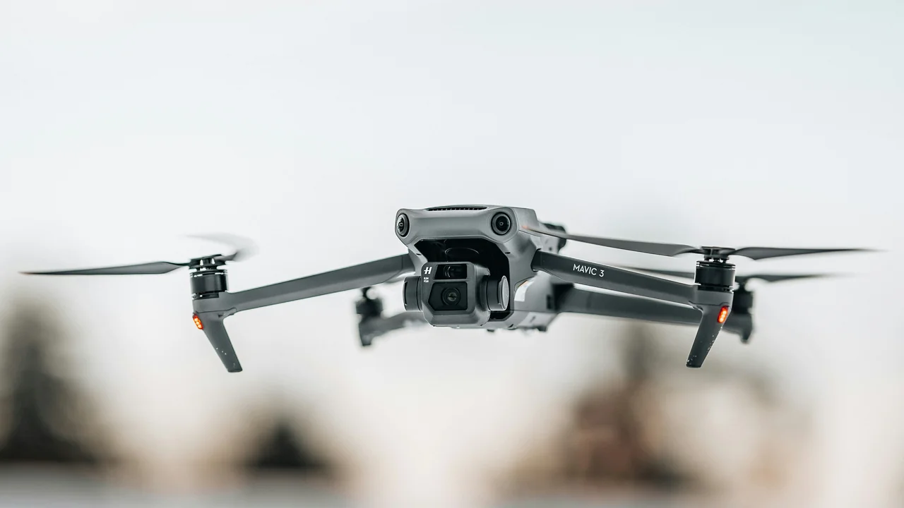
Flying a Drone in Kentucky in 2026: What You Need to Know
If you are looking for a clear, up-to-date guide on Kentucky drone laws, you have come to the right place. Whether you are a local pilot planning a flight over Red River Gorge or a tourist hoping to capture aerial footage of Mammoth Cave, understanding the specific rules for 2026 is essential. This guide covers the federal FAA baseline, the unique restrictions in state and national parks, and the airspace rules in major cities like Louisville and Lexington. By the end, you will know exactly where you can fly, what permits you need, and how to avoid costly fines.
What Is the Federal Baseline for Drone Operations in Kentucky?
All drone operations in Kentucky begin with the Federal Aviation Administration (FAA) rules. These apply to every pilot, regardless of whether you are flying for fun or for work. The two main pathways are the Recreational Exception (formerly Section 44809) and the Part 107 Remote Pilot Certificate for commercial operations.
Registration, Licensing, and Weight Limits
If your drone weighs more than 0.55 pounds (250 grams), you must register it with the FAA through the FAA DroneZone website. The fee is $5 and the registration is valid for three years. For recreational pilots, you must pass The Recreational UAS Safety Test (TRUST) and carry proof of completion. For any flight that is not purely recreational—such as real estate photography, inspection work, or paid aerial mapping—you need a Part 107 Remote Pilot Certificate. The weight limit for registration is the same for both pathways.
Airspace Authorisation and LAANC
Kentucky has several controlled airports, including Louisville Muhammad Ali International Airport (SDF) and Lexington Blue Grass Airport (LEX). To fly in controlled airspace, you must obtain an airspace authorisation through the FAA’s LAANC system. This can be done through apps like Aloft (formerly Kittyhawk) or AirMap. Always check your flight area with a LAANC-enabled app before launching. If you are unsure about the airspace class, use the No-Fly Zone Checker to verify.
Are Drones Allowed in Mammoth Cave National Park?
No. Mammoth Cave National Park, home to the world’s longest known cave system, is managed by the National Park Service (NPS). The NPS has a nationwide ban on drone operations within all national parks. This includes launching, landing, or recovering a drone from any location within park boundaries. The ban applies to the surface area above the cave system as well as the cave itself.
Violating this rule can result in fines up to $5,000 and potential confiscation of your drone. The park’s backcountry trails and scenic overlooks are strictly off-limits. If you want to capture aerial footage of the Green River or the cave entrances, you must do so from outside the park boundary. Always check the park’s official website for the most current regulations, as enforcement can be strict during peak tourist seasons.
Can You Fly a Drone at Red River Gorge?
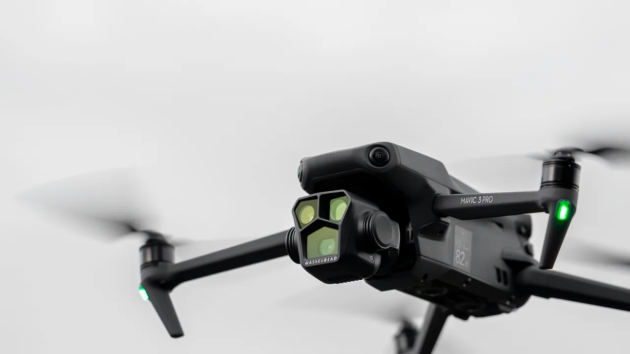
Yes, Red River Gorge is one of the most stunning and legally accessible drone locations in the eastern United States. The gorge is located within the Daniel Boone National Forest, which is managed by the U.S. Forest Service (USFS). Unlike national parks, USFS lands are generally open to drone operations, provided you follow FAA rules and any local forest-specific restrictions.
Rules for Flying in Daniel Boone National Forest
In the Daniel Boone National Forest, you can launch, fly, and land a drone as long as you respect the following: stay below 400 feet AGL, do not disturb wildlife, and avoid interfering with other visitors or emergency operations. There are no blanket bans on drones in the forest, but certain areas may have temporary restrictions due to wildfires, search and rescue operations, or special events. The Red River Gorge Geological Area, with its iconic sandstone arches and cliffs, is a prime location for aerial photography.
What Are the Drone Laws for Louisville?
Louisville, Kentucky’s largest city, is home to Louisville Muhammad Ali International Airport (SDF). The airspace around SDF is Class C controlled airspace, which means you need LAANC authorisation to fly within a 5-mile radius of the airport. The city also has several parks and public spaces where drone use is regulated by local ordinances.
Louisville Metro Parks and Local Ordinances
Louisville Metro Parks generally prohibit drone operations in heavily frequented areas like parks with sports fields, playgrounds, or large public events. The city does not have a city-wide drone ban, but you must follow all FAA rules and any posted signs. For example, flying near the Kentucky Exposition Center or Churchill Downs during events is not recommended due to temporary flight restrictions (TFRs). Always check for active TFRs before flying.
Is Fort Knox a No-Fly Zone for Drones?
Yes. Fort Knox is a U.S. Army installation that creates a large, permanent restricted area for drones. The airspace above and around Fort Knox is designated as a Military Operations Area (MOA) and a Restricted Area (R-3401). This means you cannot fly a drone within the boundaries of the base without explicit, prior permission from the U.S. Army. The restricted area extends several miles outward from the base perimeter.
Flying a drone near Fort Knox without authorisation is a serious federal offense. The area is actively monitored by military radar, and violators can face interception by military aircraft, fines, and even criminal charges. The restricted zone covers parts of Hardin and Meade counties. If you are driving through the area, keep your drone packed away until you are well clear of the restricted airspace.
Are Drones Allowed in Kentucky State Parks?
The Kentucky Department of Parks (DCR) manages the state’s 49 state parks. The policy on drones varies by park, but the general rule is that drones are prohibited in all state parks unless you have a special use permit. This applies to both recreational and commercial operators. The ban covers launching, landing, and flying drones from any park property.
Getting a Permit for a Kentucky State Park
If you need to fly a drone in a state park for a specific purpose—such as a commercial film shoot or a research project—you must apply for a special use permit from the Kentucky Department of Parks. The application process typically requires proof of insurance, a detailed flight plan, and a fee. Permits are not guaranteed and are reviewed on a case-by-case basis. For most casual pilots, the best approach is to fly outside the park boundaries.
What About Abraham Lincoln Birthplace National Historical Park?
This site, located in Hodgenville, is another NPS-managed area. As with all national parks and national historical parks, drones are banned. The ban covers the entire property, including the visitor center, the memorial building, and the surrounding grounds. There are no exceptions for small drones or sub-250g models.
Flying in Land Between the Lakes National Recreation Area
Land Between the Lakes (LBL) is a 170,000-acre national recreation area managed by the Tennessee Valley Authority (TVA). The TVA does not have a blanket ban on drones, but it strongly discourages their use in developed areas like campgrounds, visitor centers, and boat ramps. The LBL website states that drone operations must comply with all FAA regulations and should not disturb wildlife or other visitors. Given the area’s popularity for hunting, fishing, and hiking, it is best to fly early in the morning or in remote sections of the recreation area.
Lexington Airspace and Drone Rules
Lexington is served by Blue Grass Airport (LEX), which has Class C controlled airspace. The same LAANC authorisation rules apply as in Louisville. The city also has several parks, including the Kentucky Horse Park, which is a state-managed facility. At the Kentucky Horse Park, drones are generally prohibited due to the presence of horses and large events. If you are flying in Lexington, stick to open areas outside the airport’s 5-mile radius and always check for TFRs related to major horse racing events.
Summary: Final Thoughts on Flying Drones in Kentucky
Kentucky offers a mix of incredible drone opportunities and strict no-fly zones. Your best bet for stunning aerial footage is Red River Gorge in Daniel Boone National Forest, where you can fly legally and capture the natural beauty of the sandstone arches and cliffs. For commercial pilots, ensure you have your Part 107 certificate and always check LAANC authorisation before flying near Louisville or Lexington. Avoid all NPS lands, including Mammoth Cave and Abraham Lincoln Birthplace NHS, and never fly near Fort Knox. If you are flying a drone under 250 grams, you can skip registration, but you still must follow all airspace rules. Use the Weight Checker to confirm your drone’s class.
Frequently Asked Questions
Are drones allowed in Mammoth Cave National Park?
No, drones are strictly prohibited in Mammoth Cave National Park. The National Park Service bans all unmanned aircraft systems within park boundaries, including the cave system and all surface areas above it. Violators can face fines up to $5,000 and potential confiscation of their drone. The only exception is if you have a special permit for research or official park purposes, which is rarely granted.
Can I fly a drone at Red River Gorge?
Yes, you can fly a drone at Red River Gorge because it is located within Daniel Boone National Forest, which is managed by the U.S. Forest Service. The USFS allows drone operations as long as you follow FAA rules, including staying below 400 feet AGL and not disturbing wildlife or other visitors. There are no blanket bans in the forest, but always check for temporary restrictions before flying.
What are the drone rules in Louisville?
In Louisville, you must obtain LAANC authorisation to fly within the controlled airspace of Louisville Muhammad Ali International Airport (SDF). The city does not have a city-wide ban, but Louisville Metro Parks generally prohibit drones in busy areas like sports fields and playgrounds. Always check for temporary flight restrictions, especially during events at the Kentucky Exposition Center or Churchill Downs.
Is Fort Knox a no-fly zone for drones?
Yes, Fort Knox is a permanent no-fly zone for drones. The airspace above and around the base is a Military Operations Area and Restricted Area (R-3401). Flying a drone near Fort Knox without explicit permission from the U.S. Army is a federal offense that can lead to interception by military aircraft, fines, and criminal charges. The restricted area covers parts of Hardin and Meade counties.
Are drones legal in Daniel Boone National Forest?
Yes, drones are generally legal in Daniel Boone National Forest, which is managed by the U.S. Forest Service. You can fly a drone for recreational or commercial purposes as long as you adhere to FAA rules, including staying below 400 feet AGL and avoiding interference with wildlife and other visitors. Some areas within the forest may have temporary restrictions due to wildfires or special events.
What are Kentucky’s drone laws?
Kentucky’s drone laws are a combination of federal FAA rules and local restrictions. You must register your drone with the FAA if it weighs over 0.55 pounds and pass the TRUST test for recreational flying. Commercial pilots need a Part 107 certificate. Drones are banned in all National Park Service sites, including Mammoth Cave, and in most Kentucky State Parks without a permit. Fort Knox is a permanent no-fly zone, while Daniel Boone National Forest is generally open for flying.
Do I need to register my drone in Kentucky?
Yes, if your drone weighs more than 0.55 pounds (250 grams), you must register it with the FAA. This is a federal requirement, not a state one. Registration costs $5 and is valid for three years.
Can I fly my drone at Cumberland Falls State Resort Park?
No, Kentucky State Parks prohibit drone takeoff, landing, and operation on park property without a written permit. This includes Cumberland Falls, Natural Bridge, and all other state parks.
Is there a Kentucky drone registration database?
No, Kentucky does not maintain its own drone registration system. All registration is handled through the FAA’s online portal. However, state law enforcement can access FAA records to identify drone owners.
Can I fly a drone over the Kentucky Derby?
No. Churchill Downs and the surrounding area are subject to Temporary Flight Restrictions (TFRs) during the Kentucky Derby and Kentucky Oaks. These TFRs typically extend from the surface to 3,000 feet AGL within a 3-nautical-mile radius. Flying during these events is a federal crime.
What is the maximum altitude for drones in Kentucky?
The FAA limits drone operations to 400 feet above ground level (AGL) throughout the United States, including Kentucky. This applies to both recreational and commercial pilots unless you have a specific waiver.
Can You Fly a Drone Over Private Property in Kentucky?
This is one of the most common questions drone pilots ask, and the answer requires understanding two separate legal frameworks: federal airspace rights and state trespassing laws.
Under federal law, the FAA has exclusive jurisdiction over the national airspace. The U.S. Supreme Court has consistently held that the public has a right to transit through navigable airspace. In practical terms, this means you can legally fly your drone over private property in Kentucky as long as you remain below 400 feet AGL and comply with all other FAA regulations.
However, Kentucky state law complicates matters. Kentucky Revised Statutes 237.200 prohibits the use of an unmanned aircraft system to intentionally conduct surveillance of, record images of, or invade the privacy of a person on private property. If a landowner asks you to stop flying over their property, you should comply immediately. Continued flight could be considered harassment or trespassing.
For commercial operations, you must also respect the “reasonable expectation of privacy” standard. If your flight path necessarily involves passing over private land, do so at a consistent altitude without loitering. The safest approach is to maintain a minimum of 100 feet altitude over private residences and never use zoom lenses to peer into windows or fenced yards.
Do Kentucky Drone Laws Differ for Recreational vs. Commercial Pilots?
Yes, the requirements diverge significantly based on your purpose of flight. Here is a side-by-side comparison of what each pilot type must comply with in Kentucky:
| Requirement | Recreational Pilot | Commercial Pilot (Part 107) |
|---|---|---|
| FAA Registration | Required if drone weighs over 0.55 lbs | Required for all drones |
| Knowledge Test | TRUST certificate (free, online) | Part 107 Knowledge Test ($175) |
| Remote ID | Required (broadcast or module) | Required (broadcast or module) |
| Max Altitude | 400 feet AGL | 400 feet AGL (or 400 ft above structure) |
| Visual Line of Sight | Always required | Always required (waivers available) |
| Night Operations | Allowed with anti-collision lights | Allowed with training and lights |
| Over People | Prohibited | Allowed with Category 2/3 drones |
| Moving Vehicles | Prohibited | Allowed with Category 1 drone |
Both recreational and commercial pilots must follow the same airspace restrictions, including avoiding airports, military bases, and temporary flight restrictions (TFRs). The key difference is that commercial pilots can request waivers for certain operational limitations, such as flying beyond visual line of sight or operating in controlled airspace.
Can You Fly a Drone in Daniel Boone National Forest?
Daniel Boone National Forest spans 708,000 acres across eastern Kentucky and is one of the most popular flying locations in the state. The U.S. Forest Service (USFS) manages this land, and its drone policy is more permissive than the National Park Service.
In Daniel Boone National Forest, drone flying is generally allowed for both recreational and commercial purposes. However, there are important restrictions:
- No harassment of wildlife: Kentucky law and federal regulations prohibit using drones to disturb animals, including during hunting or nesting seasons.
- No flights over developed recreation sites: This includes campgrounds, picnic areas, and trailheads where people congregate. You must launch from a minimum distance away.
- No flights near wildfire operations: If a fire is active, a TFR will be in place. Flying near firefighting aircraft is a federal crime.
- No commercial operations without a permit: If you plan to sell footage or provide paid drone services within the forest, you need a special use permit from the USFS.
Popular launch points include the Sheltowee Trace Trailhead, Cave Run Lake, and the Natural Bridge State Park area. Always check the local ranger district office for any temporary closures before you fly.
What Are the Drone Restrictions Near Louisville Muhammad Ali International Airport?
Louisville Muhammad Ali International Airport (SDF) is a major cargo hub for UPS and handles significant passenger traffic. The airport sits within Class C airspace, which extends from the surface up to 4,000 feet AGL in a series of rings.
To fly within 5 miles of SDF, recreational pilots must notify the airport and the FAA. However, because SDF has controlled airspace extending to the surface, the more practical requirement is obtaining an LAANC (Low Altitude Authorization and Notification Capability) authorization through an FAA-approved app like Aloft, Kittyhawk, or Air Control.
The LAANC system provides near-instant approval for flights in controlled airspace up to specific altitude limits. For SDF, the maximum authorized altitude within the inner ring is typically 0–50 feet, while outer areas may allow up to 200 feet. Commercial pilots must also use LAANC and cannot fly without authorization.
Additionally, UPS operates a massive cargo facility at SDF with its own security restrictions. Do not fly over airport property, cargo handling areas, or aircraft parking aprons. Violations can result in FAA enforcement action, including fines up to $27,500 per incident.
Do Kentucky Cities Have Their Own Drone Laws?
Kentucky state law generally preempts local governments from regulating drone operations in navigable airspace. However, cities and counties can impose restrictions on drone takeoff and landing from public property, such as parks, sidewalks, and government buildings.
Several Kentucky cities have enacted ordinances that affect drone pilots:
| City | Restriction | Applicable Areas |
|---|---|---|
| Louisville | No takeoff/landing in city parks without permit | Cherokee Park, Iroquois Park, Shawnee Park |
| Lexington | No drones in city parks except designated areas | Jacobson Park, Masterson Station Park |
| Bowling Green | No flights over city-owned property | City Hall, police stations, fire stations |
| Covington | No drones within 100 feet of public gatherings | Festivals, parades, sports events |
These local rules do not prohibit overflight of the airspace above these areas—they only restrict where you can physically launch and land your drone. Always check with the local parks department or municipal code enforcement before flying in any Kentucky city.
What Are the Penalties for Violating Drone Laws in Kentucky?
Violating drone regulations in Kentucky can result in both federal and state penalties. Understanding the consequences helps you prioritize compliance.
Federal Penalties: The FAA can impose civil fines of up to $27,500 per violation for operating without registration, flying in restricted airspace, or violating Part 107 rules. Criminal penalties, including jail time, apply for interfering with law enforcement or emergency response operations.
State Penalties: Under Kentucky Revised Statutes 237.200, using a drone for surveillance of private property without consent is a Class A misdemeanor, punishable by up to 12 months in jail and a fine of up to $500. If the surveillance involves recording intimate images, the charge becomes a felony.
Local Penalties: Violating city park ordinances can result in citations with fines ranging from $50 to $500, depending on the municipality. Repeat offenders may face additional restrictions or confiscation of equipment.
Last updated: June 25, 2026
- Federal Aviation Administration (FAA) – faa.gov
- National Park Service (NPS) – nps.gov
- U.S. Forest Service (USFS) – fs.usda.gov
- Kentucky Department of Parks – parks.ky.gov
- Tennessee Valley Authority (TVA) – tva.gov
- Kentucky Revised Statutes Chapter 237 – legislature.ky.gov
Drone Allowed
DroneAllowed editor covering drone regulations, aviation law, and aerial photography across USA, UK, Canada & Australia.