
LAX Drone Laws 2026: Los Angeles Airport Airspace, Rules & No-Fly Zone
 13 min read
2,461 words
13 min read
2,461 words
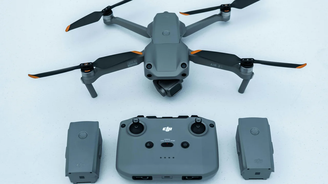
If you’re a drone pilot in Los Angeles, the single most important thing you need to understand is the LAX airport drone laws. The Class B airspace surrounding Los Angeles International Airport (KLAX) is one of the most complex and restrictive in the United States, covering a massive swath of the city from the coast deep into the San Fernando Valley. This guide breaks down exactly where you can and cannot fly, how to get legal authorization, and what the specific no-fly zone rules mean for your drone near LAX. You will learn the precise boundaries of the airspace, how it overlaps with other airports like Van Nuys and Long Beach, and how to navigate the LAANC system to fly legally in popular areas like Venice Beach and Santa Monica.
What Is the LAX Class B Airspace and How Does It Affect Drone Flying Near LAX?
LAX is one of the busiest airports in the world, handling over 80 million passengers annually. To protect arriving and departing aircraft, the FAA has designated a Class B airspace around KLAX. This is the most restrictive type of controlled airspace for general aviation and drones alike. For drone operators, the entire Class B surface area is a mandatory no-fly zone unless you have an active LAANC authorization from the FAA.
The LAX Class B airspace is structured like an upside-down wedding cake. The surface area, known as the “inner ring,” extends out to a radius of 5 nautical miles (5.75 statute miles) from the airport center, from the surface up to 7,000 feet. This means that within that 5NM radius, you cannot fly a drone at any altitude without prior authorization. The outer shelves of the Class B extend up to 30 nautical miles from the airport, but they start at higher altitudes (e.g., 3,000 feet or 7,000 feet), which means drone operations below those floors are often permitted without authorization—provided you are outside the surface area.
How the LAX Class B Overlaps with Other LA Airports
The complexity of the LAX airspace is compounded by its overlap with several other controlled airports. Directly to the north, Van Nuys Airport (VNY) has its own Class D airspace (surface to 4,000 feet), which sits entirely inside the LAX Class B outer shelf. Hawthorne Municipal Airport (HHR) and Long Beach Airport (LGB) also have Class D airspace that lies within the LAX Class B. To the south, John Wayne Airport (SNA) in Santa Ana has Class C airspace that also falls under the LAX Class B outer ring. This means a single drone flight in the LA metro area may require authorization from multiple airspace controllers.
LAX No-Fly Zone Drone: Where Can You Legally Fly?
The LAX no-fly zone drone area is not a simple circle. It is a three-dimensional volume that changes with altitude. The surface area (the part you absolutely cannot fly in without authorization) covers a roughly 5-mile radius from the airport. This includes significant portions of West Los Angeles, including the neighborhoods of Playa del Rey, Westchester, Inglewood, and parts of El Segundo. The Santa Monica Pier and Venice Beach are just outside the surface area, but they fall within the Class B outer shelf.
Popular Areas Inside the LAX Class B
Many of the most photogenic locations in Los Angeles sit inside the LAX Class B airspace. Here is a breakdown of what you need to know for each:
| Location | Inside Class B Surface? | LAANC Available? | Notes |
|---|---|---|---|
| Santa Monica Pier & Beach | No (outer shelf) | Yes | Authorization required; max altitude 100-200 ft |
| Venice Beach Boardwalk | No (outer shelf) | Yes | Authorization required; heavy pedestrian traffic |
| Playa del Rey / Marina del Rey | Yes (partially) | Yes | Surface area near LAX runway approaches |
| Inglewood (SoFi Stadium area) | Yes | Yes | Adds stadium TFR on event days |
| Manhattan Beach / Hermosa Beach | No (outer shelf) | Yes | Authorization required; popular surfing spots |
| Palos Verdes Peninsula | No (outside Class B) | Not required | Uncontrolled airspace; best legal alternative |
How to Get LAANC Authorization for Drone Flying Near LAX
LAANC (Low Altitude Authorization and Notification Capability) is the FAA’s automated system that allows drone pilots to request real-time airspace authorization. For the LAX Class B, LAANC is available through approved service providers like Aloft (formerly Kittyhawk), AirMap, and Skyward. Here is the step-by-step process to get authorization for drone flying near LAX:
Install Aloft (free), AirMap, or Skyward on your mobile device. Create an account and verify your identity with the FAA.
Use the app’s map view to locate your intended flight area. The app will show the LAX Class B rings and any overlapping airspace from VNY, HHR, or LGB.
Select your flight area (a 1-square-mile grid) and your desired altitude. The system will automatically approve or deny based on current traffic and airspace constraints.
Once approved, you must stay within the approved grid and altitude. Authorization is typically valid for the same day only.
For Part 107 pilots, LAANC authorization is usually granted instantly for altitudes up to 400 feet, but near LAX, the system may restrict you to lower altitudes (e.g., 100 or 200 feet) due to approach and departure paths. Recreational flyers under the Exception for Recreational Flyers must also use LAANC and follow the same rules.
What If LAANC Denies Your Request?
LAANC denials are common near LAX, especially during peak hours (6 AM to 10 PM). If your request is denied, you have two options. First, you can try a different location farther from the airport. Second, you can submit a manual airspace authorization request through the FAA DroneZone website, which takes 30 to 90 days to process. For most recreational flights, the best approach is to fly in areas outside the Class B entirely, such as Palos Verdes Peninsula.
SoFi Stadium: An Extra Layer of Drone Restrictions Inside LAX Airspace
SoFi Stadium, home of the Los Angeles Rams and Chargers, sits in Inglewood, directly inside the LAX Class B surface area. This creates a dual restriction for drone pilots. During NFL games, concerts, and major events (like the Super Bowl or World Cup matches), the FAA issues a Temporary Flight Restriction (TFR) over the stadium. This TFR typically extends to a 3-nautical-mile radius from the stadium, up to 3,000 feet, and is active from one hour before the event until one hour after.
Outside of event days, the SoFi Stadium area is still subject to the standard LAX Class B rules. You can fly there with LAANC authorization, but you must be aware that the stadium itself is a sensitive location. The TFR applies to all drones, regardless of weight, including sub-250g models like the DJI Mini series.
Palos Verdes Peninsula: The Best Legal Drone Spot Near LAX
If you are looking for a place to fly a drone without dealing with LAANC authorizations, the Palos Verdes Peninsula is your best option. This coastal area south of LAX sits outside the Class B surface area and is largely uncontrolled airspace. The cliffs, coastal views, and the Point Vicente Lighthouse offer stunning cinematography opportunities. The airspace here is Class G (uncontrolled) from the surface up to 1,200 feet, meaning no authorization is required for drone flights.
However, even in Palos Verdes, you must still follow basic FAA rules. You cannot fly above 400 feet AGL, you must keep your drone within visual line of sight, and you cannot fly over people or moving vehicles without a waiver. The area is also home to the Palos Verdes Peninsula Land Conservancy, which has its own local rules about drones on protected natural reserves. Always check for local park ordinances before launching.
Santa Monica Airport Closure: What It Means for Drone Pilots
Santa Monica Municipal Airport (SMO) officially closed to all aircraft operations in December 2021 and was converted into a public park. This means the Class D airspace that once surrounded SMO is no longer active. For drone pilots, this is a significant change. The area that was previously restricted around SMO is now uncontrolled airspace, but it still sits inside the LAX Class B outer shelf. You can fly at the Santa Monica Pier and beach without SMO-specific authorization, but you still need LAANC authorization for the LAX airspace.
The closure of SMO has opened up more flight opportunities along the Santa Monica coastline, but the LAX Class B remains the dominant restriction. The beach corridor from Santa Monica down to Manhattan Beach is entirely inside the LAX Class B outer shelf, so LAANC is required for any drone flight in this area.
Beach Corridor Drone Rules: Manhattan Beach to Malibu
The coastline from Manhattan Beach up to Malibu is one of the most sought-after drone filming locations in the world. However, this entire stretch falls under the LAX Class B airspace. The surface area of the Class B extends about 5 miles from the airport, which includes the beaches of Playa del Rey and Dockweiler Beach. North of that, from Venice Beach through Santa Monica to Malibu, you are in the outer shelf, where LAANC authorization is still required.
Here are the specific rules for flying a drone on the LA beaches near LAX:
- Always check the LAANC grid before launching. Altitude authorizations near the beach are often limited to 100-200 feet.
- Do not fly over people. The beaches are crowded, especially on weekends. Violating the “no fly over people” rule can result in FAA fines.
- Respect local park rules. Los Angeles County beaches have their own ordinances that may prohibit drone takeoffs and landings from the sand.
- Watch for helicopter traffic. LAX helicopter routes follow the coastline, and emergency helicopters from UCLA Medical Center also use this corridor.
Summary: Flying a Drone Near LAX in 2026
Navigating the LAX drone laws requires preparation and respect for FAA regulations. The Class B airspace is not a suggestion—it is a legal boundary with strict enforcement. Always use a No-Fly Zone Checker before every flight to confirm your location is clear. If you want to avoid the hassle of LAANC authorizations entirely, fly at Palos Verdes Peninsula or other uncontrolled areas south of the airport. For the iconic beach shots from Santa Monica to Manhattan Beach, you must get LAANC authorization and stay within the altitude limits. Remember that SoFi Stadium adds an extra TFR layer on event days, and the FAA does not grant exceptions for recreational flights. Plan your flights, check the airspace, and fly safely.
Frequently Asked Questions
What is the drone no-fly zone around LAX?
The drone no-fly zone around LAX is defined by the airport’s Class B airspace. The surface area extends 5 nautical miles from the airport, from the surface up to 7,000 feet. Within this zone, you cannot fly a drone without an active LAANC authorization from the FAA. The outer shelves of the Class B extend up to 30 nautical miles but start at higher altitudes, meaning drone flights below those floors may be permitted with authorization.
How big is LAX Class B airspace?
The LAX Class B airspace has a surface radius of 5 nautical miles (5.75 statute miles) from the airport center. The outer shelves extend outward to a radius of 30 nautical miles (34.5 statute miles). The ceiling of the Class B is 7,000 feet above ground level. This means the airspace covers a massive area from the coast to the San Fernando Valley and from Malibu to Long Beach.
Can I fly a drone at Venice Beach near LAX?
Yes, you can fly a drone at Venice Beach, but you must obtain LAANC authorization first. Venice Beach sits in the outer shelf of the LAX Class B airspace, not the surface area. This means you can fly with authorization, but altitude limits are often restricted to 100-200 feet. You must also avoid flying over people on the crowded boardwalk and beach. Early morning flights have the highest chance of LAANC approval.
How do I get LAANC authorization near LAX Los Angeles?
To get LAANC authorization near LAX, download a LAANC-enabled app like Aloft, AirMap, or Skyward. Create an account and verify your identity with the FAA. Use the app’s map to select your flight location and altitude, then submit the request. The system will approve or deny you instantly based on current air traffic. If denied, you can try a different location or submit a manual authorization request through the FAA DroneZone website, which takes 30-90 days to process.
Is Santa Monica beach inside LAX airspace?
Yes, Santa Monica beach is inside the LAX Class B airspace, but it is in the outer shelf, not the surface area. The Santa Monica Pier and beach are approximately 6 miles north of LAX, which places them outside the 5NM surface radius. However, you still need LAANC authorization to fly here because the Class B outer shelf extends over this area. Since Santa Monica Airport closed in 2021, there is no additional Class D restriction from that airport.
Can I fly a drone at Palos Verdes near LAX?
Yes, Palos Verdes Peninsula is one of the best places to fly a drone near LAX without needing LAANC authorization. The area sits outside the LAX Class B surface area and is largely uncontrolled Class G airspace from the surface up to 1,200 feet. You can fly here without airspace authorization, but you must still follow all FAA rules: stay under 400 feet AGL, maintain visual line of sight, and avoid flying over people or moving vehicles.
Last updated: July 04, 2026
- Federal Aviation Administration (faa.gov) — Part 107 and LAANC resources
- FAA UAS Data Exchange — LAANC airspace maps
- Los Angeles World Airports (LAWA) — LAX airspace information
Drone Allowed
DroneAllowed editor covering drone regulations, aviation law, and aerial photography across USA, UK, Canada & Australia.