
Stanford Drone Laws 2026: Campus Policy, Bay Area Airspace & Rules
 13 min read
2,526 words
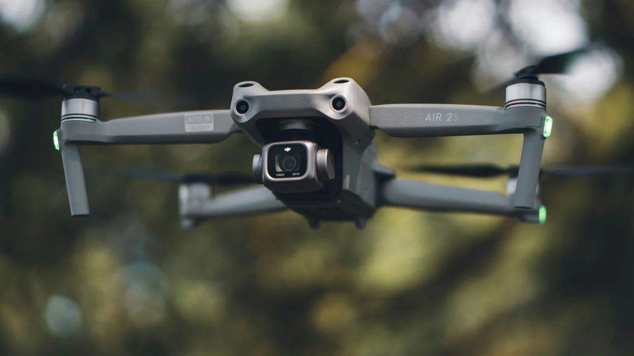
If you are a drone pilot in Silicon Valley, flying over or near Stanford University’s sprawling 8,180-acre campus requires navigating a complex web of rules. Stanford University drone laws are not just about FAA airspace; they include a strict, independent campus policy that bans recreational drone flight without written permission. In this guide, you will learn exactly where you can and cannot fly, how Stanford’s own rules interact with FAA regulations, and what specific airspace restrictions from Palo Alto Airport (PAO) and Moffett Field mean for your flight plan. We cover the Stanford Dish, SLAC National Laboratory, and the seasonal Lake Lagunita, so you can fly legally and avoid fines.
What Is the Official Stanford University Drone Policy for 2026?
Stanford University treats all unmanned aircraft systems (UAS), including drones used for recreation, photography, and commercial work, as subject to its campus land-use rules. The policy is managed by Stanford Land, Buildings and Real Estate (LBRE). The core rule is simple: you cannot launch, land, or operate a drone on any property owned or controlled by Stanford without prior written authorization from LBRE. This applies to the entire campus, including the academic core, the Stanford Medical Center, the golf course, and all outlying research areas like the Jasper Ridge Biological Preserve.
What does this mean for your flight? Even if the FAA says the airspace above a field is legal to fly in, Stanford’s ground rules prohibit you from taking off or landing from their land. Violating this policy can result in a trespassing citation and confiscation of your equipment. The policy applies to both recreational pilots flying under the Exception for Recreational Flyers and commercial operators operating under a Part 107 certificate. There are no designated “drone zones” on campus for hobby use.
Can You Fly a Drone at Stanford Without Permission?
The direct answer is no. You cannot fly a drone at Stanford University without explicit permission from the university. This policy covers all activities, including recreational flying, aerial photography, and academic research. The only exception is for Stanford faculty or students who have secured a research exemption through the university’s internal review process, which is separate from the LBRE land-use permit.
Stanford’s stance is grounded in privacy, safety, and operational continuity. The campus hosts a major medical center, a Level 1 trauma center, and numerous research facilities with sensitive equipment. A drone crash or a privacy complaint can disrupt these operations. For a visiting filmmaker or a Silicon Valley drone pilot, this means the iconic shots of Memorial Church, the Main Quad, or the Cantor Arts Center are off-limits unless you have negotiated a paid filming permit with Stanford’s Special Events and Protocol office.
What About Flying Over Stanford Campus From Public Property?
This is a common workaround, but it comes with significant airspace restrictions. You could legally launch from a public sidewalk or a public park adjacent to Stanford, such as the city of Palo Alto’s El Camino Park. However, the moment your drone crosses the property line and flies over Stanford’s land, you are still subject to FAA airspace rules. The critical issue is that Stanford’s academic core sits directly under the Class D airspace of Palo Alto Airport (PAO).
Flying over Stanford from a public launch point requires a LAANC authorization from the FAA for the Class D airspace. Even with that authorization, you must remain below 400 feet AGL and avoid all Stanford buildings, people, and vehicles. If Stanford police observe your drone flying low over the campus, they can still cite you for a state-level trespass or nuisance violation, even if you are not on their land.
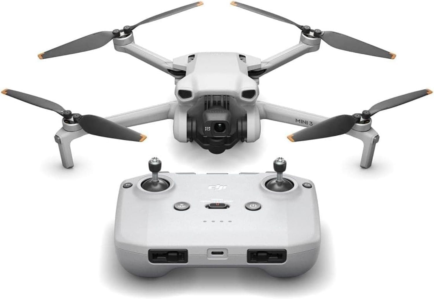
DJI Mini 3
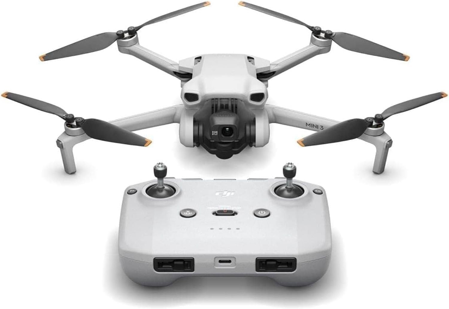
DJI Mini 3, 3-Axis Mechanical Gimbal Mini Camera Drone | 4K HDR Video, 38-Min Flight Time, up to 32800ft (10km) Video Transmission, True Vertical Shooting, GPS Auto Return
Check Price on AmazonDJI Mini 3 Fly More Combo
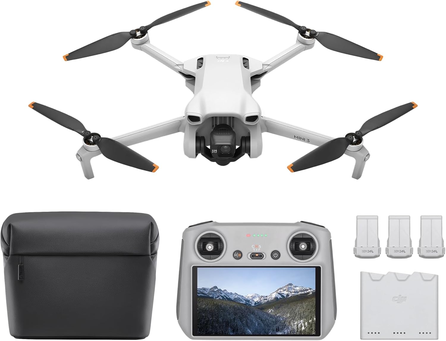
DJI Mini 3 Fly More Combo With DJI RC, 3 Batteries | Lightweight Camera Drone With 4K HDR Video, 114-Min Flight Time, Vertical Shooting, 32800ft (10km) Video Transmission
Check Price on AmazonDJI Mini 3 With DJI RC
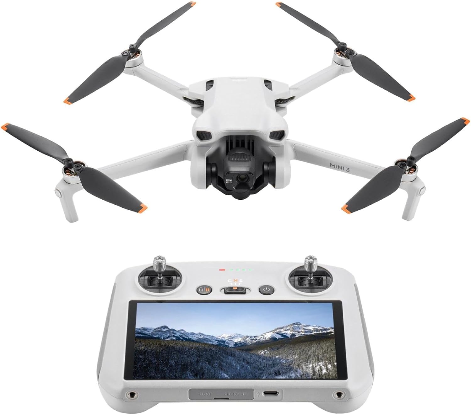
DJI Mini 3 With DJI RC, 3-Axis Mechanical Gimbal Mini Camera Drone | 4K HDR Video, 38-Min Flight Time, up to 32800ft (10km) Video Transmission, Vertical Shooting, GPS Auto Return
Check Price on AmazonStanford Palo Alto Drone Airspace: PAO, SJC, and Moffett Field
The airspace around Stanford is among the most complex in the Bay Area. Three major airports create overlapping controlled airspace that directly affects where you can fly. Understanding this is critical to avoiding an FAA violation.
| Airport | Class | Distance from Stanford Core | Impact on Drone Flight |
|---|---|---|---|
| Palo Alto Airport (KPAO) | Class D | Adjacent (0.5 miles) | Directly overlies the academic core. Requires LAANC approval. |
| San Jose International (KSJC) | Class C | ~12 miles south | Outer shelf covers southern Stanford lands (SLAC, Dish Hill). |
| Moffett Federal Airfield (KNUQ) | Class D | ~3 miles east | Overlies the eastern edge near Highway 101 and the Baylands. |
Palo Alto Airport (PAO) Class D: The Primary Restriction
Palo Alto Airport is a busy general aviation field located directly adjacent to the western edge of Stanford. Its Class D airspace extends from the surface up to 2,500 feet MSL in a 4-nautical-mile radius. This cylinder of controlled airspace covers the entire Stanford academic core, including the Main Quad, the Oval, and the Stanford Stadium. You cannot fly a drone in this airspace without first obtaining an airspace authorization through the FAA’s LAANC system (Low Altitude Authorization and Notification Capability).
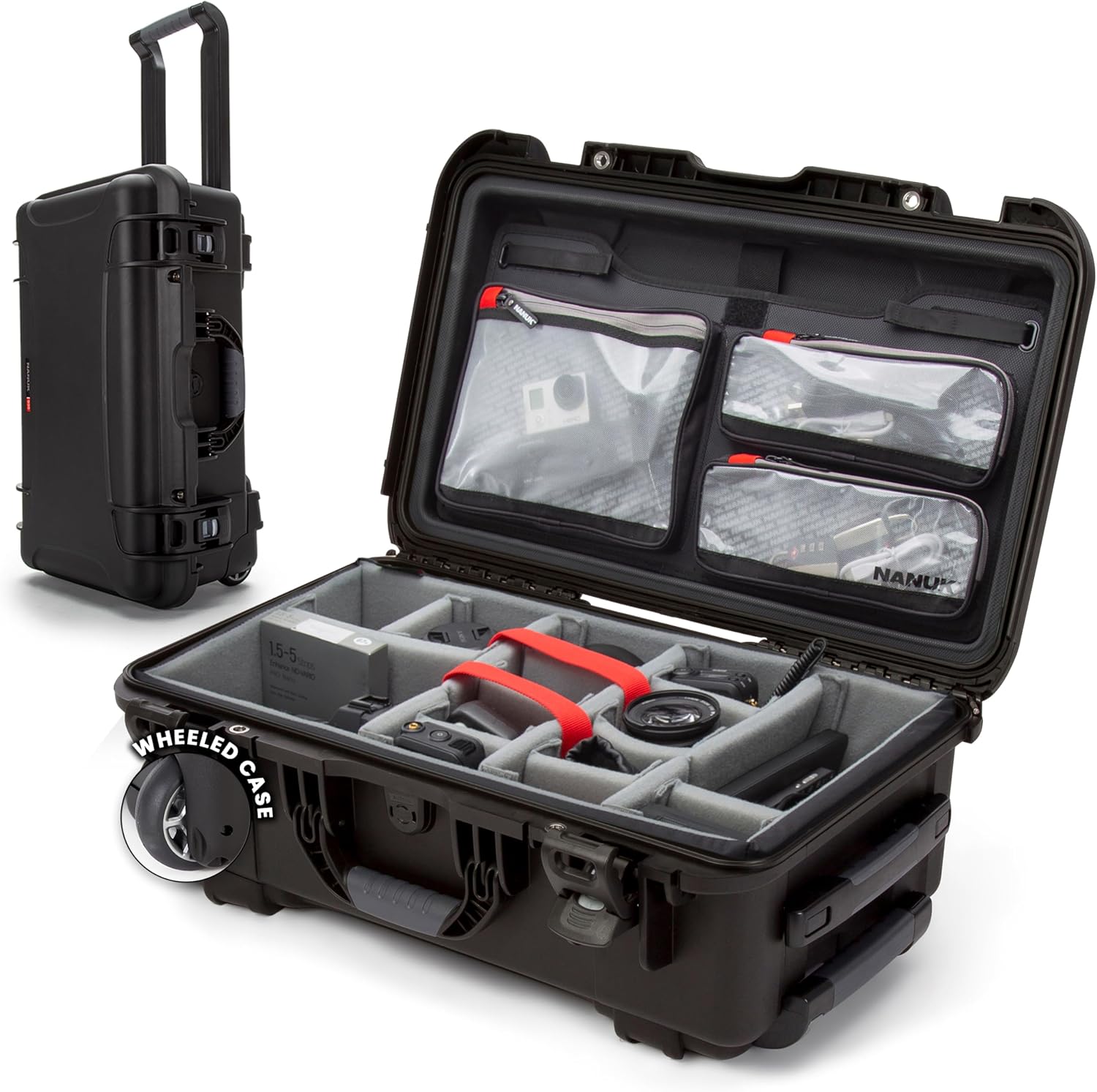
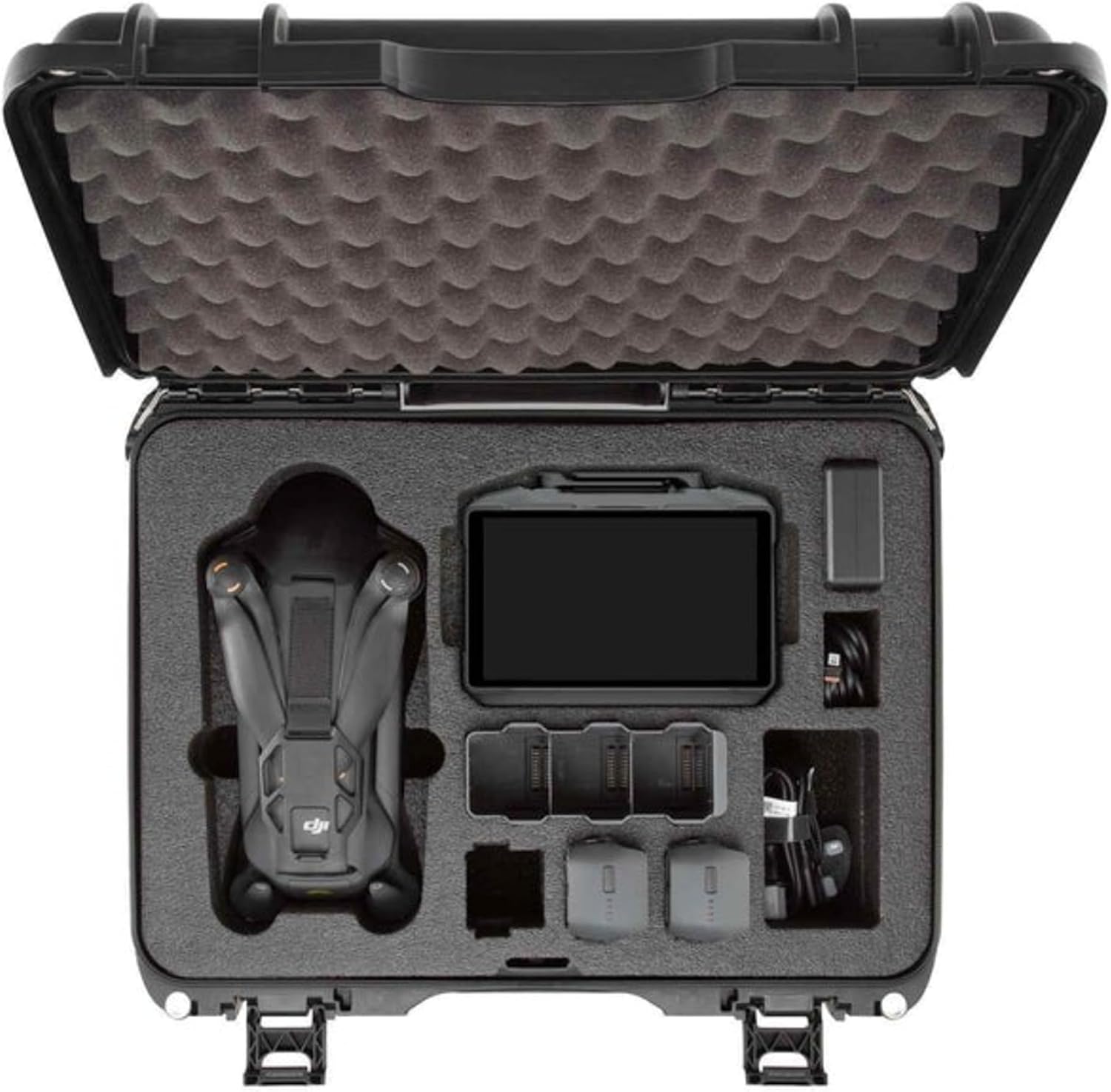
Carrying Hard Case for DJI Avata 360 Drone
Carrying Hard Case for DJI Avata 360 Drone - Portable Travel Bag for Goggles N3/RC Motion 3 Controller
Check Price on AmazonHard Case for Antigravity A1 Drone
Hard Case for Antigravity A1 Drone, Waterproof Protective Carry Case, Anti-Fall Storage Bag Fit for Drone, Batteries, Goggles, Accessories & RC Gear [Only Protect Shell]
Check Price on AmazonFor pilots using the No-Fly Zone Checker, this area will show as a red zone requiring authorization. Even with LAANC approval, you are restricted to altitudes typically below 100–200 feet AGL near the airport, and you must comply with any temporary flight restrictions (TFRs) issued for aircraft operations.
San Jose International (SJC) Class C and Moffett Field
The southern portion of Stanford’s land, including the SLAC National Accelerator Laboratory and the Stanford Dish, falls under the outer shelf of San Jose International’s Class C airspace. This shelf starts at 1,200 feet MSL, which means drone operations below 400 feet AGL are generally not affected by SJC’s airspace, provided you are clear of PAO’s Class D. However, Moffett Federal Airfield, home to NASA Ames Research Center, has its own Class D airspace that extends over the eastern Baylands and the San Francisco Bay National Wildlife Refuge. This area is heavily restricted due to military and research flights.
Flying Near the Stanford Dish: Photography Rules and Restrictions
The Stanford Dish is a 1.5-mile hiking trail located on a hill southwest of the main campus. It offers panoramic views of the entire Silicon Valley, making it a prime target for drone photography. However, the Dish is a restricted area. It is owned by Stanford and is part of the Stanford foothills research zone. The trail is open to the public for hiking, but drone operations are explicitly prohibited under Stanford’s campus policy.
Beyond Stanford’s own rules, the Dish is located near the SLAC National Accelerator Laboratory, a Department of Energy (DOE) facility. DOE facilities have their own security restrictions that can include no-fly zones. The airspace above the Dish is also at the edge of Palo Alto Airport’s Class D. While you might be able to obtain a LAANC authorization for the airspace, you still need Stanford’s permission to launch from the Dish parking lot or trailhead. The best advice for photographers is to use a telephoto lens from a public viewpoint outside Stanford property, such as the nearby Arastradero Preserve.
SLAC National Accelerator Laboratory: A Federal No-Fly Zone
The SLAC National Accelerator Laboratory is a U.S. Department of Energy (DOE) research facility located on 426 acres of Stanford land. It houses the 2-mile-long linear accelerator and other sensitive research equipment. As a federal facility, SLAC has its own security protocols that often include a prohibition on drone flight over its grounds. While the FAA does not list SLAC as a permanent restricted area in the same way as a military base, the DOE can request temporary flight restrictions (TFRs) for specific events or when sensitive experiments are running.
Flying a drone over SLAC is a high-risk activity. You could be subject to federal trespass charges, and the DOE has the authority to confiscate your drone. The Stanford drone policy also specifically prohibits operations at SLAC without LBRE authorization. For a drone pilot, the safest approach is to treat the entire SLAC footprint as a no-fly zone. The area is clearly marked with signage.
Stanford Stadium and Event TFRs
Stanford Stadium, home to the Stanford Cardinal football team, hosts Pac-12 games and other large events. The FAA routinely issues Temporary Flight Restrictions (TFRs) for stadiums during NCAA Division I football games. These TFRs typically go into effect one hour before kickoff and last until one hour after the game ends. The restriction covers a 3-nautical-mile radius around the stadium, up to 3,000 feet AGL. This TFR completely prohibits drone flight within that zone, even with a Part 107 waiver.
If you are planning to fly near Stanford on a Saturday in the fall, check the FAA’s TFR map before you go. The Stanford Stadium TFR will overlap with the Palo Alto Airport Class D, creating a double layer of restriction. During the game, the only legal drone operation would be for public safety or media with an FAA waiver, which is extremely rare to obtain. For the average pilot, it is best to avoid the area entirely on game days.
Lake Lagunita and Other Stanford Landmarks
Lake Lagunita is a seasonal lake on the Stanford campus that historically held water in the winter and spring. In recent years, it has remained dry due to drought conditions. Even when it is dry, the lakebed is Stanford property. Flying a drone over Lake Lagunita is prohibited under the same LBRE policy. The area is also within the Palo Alto Airport Class D, requiring LAANC authorization for any flight.
Other notable landmarks include the Stanford Golf Course, the Rodin Sculpture Garden, and the Cantor Arts Center. All are on Stanford land and subject to the same no-fly policy. If you are a commercial photographer with a valid permit from Stanford, you might be able to fly over these areas, but you must still coordinate with PAO tower and obtain FAA authorization.
How to Get Permission to Fly a Drone at Stanford
Getting permission to fly a drone at Stanford is a formal process. It is not something you can do on the day of your shoot. Here are the steps:
Reach out to Stanford Land, Buildings and Real Estate (LBRE) at least two weeks in advance. You will need to provide a detailed flight plan, proof of FAA registration, and proof of liability insurance (typically $1 million minimum).
Use the FAA’s LAANC system through an approved UAS Service Supplier to request authorization for the Palo Alto Airport Class D airspace. This is a separate requirement from Stanford’s permission.
For commercial photography or videography, you may also need a filming permit from Stanford’s Special Events office. This adds another layer of review and fees.
On the day of your flight, call the Palo Alto Airport tower (650-856-1234) to let them know your flight window. They can help deconflict your drone from arriving and departing aircraft.
Summary: Flying Legally Near Stanford University
Navigating Stanford University drone laws requires a dual-pronged approach: respecting the university’s private property rules and complying with FAA airspace regulations. The key takeaway is that you cannot fly a drone on Stanford campus without written authorization from LBRE, and the airspace above the campus is controlled by Palo Alto Airport’s Class D. For most recreational pilots, the safest and most legal option is to fly at a public park in Palo Alto or Menlo Park that is outside Stanford’s land and outside the PAO Class D. Use the No-Fly Zone Checker to verify your launch point before you go. If you are a filmmaker or researcher, start the permission process early and be prepared for a rigorous review. Stanford protects its campus for education and research, not for drone operations.
Frequently Asked Questions
Can you fly a drone at Stanford University?
No, you cannot fly a drone at Stanford University without prior written authorization from Stanford Land, Buildings and Real Estate (LBRE). This policy applies to all recreational and commercial drone operations on any property owned or controlled by Stanford, including the main campus, the Dish Hill, and SLAC. Violating this policy can result in trespassing charges and confiscation of your equipment.
What is Stanford’s drone policy?
Stanford’s drone policy prohibits the launch, landing, or operation of any unmanned aircraft system (UAS) on university property without explicit written permission from LBRE. The policy covers all 8,180 acres of Stanford land, including the academic core, the golf course, the medical center, and all research facilities. There are no designated recreational drone zones on campus.
Do I need permission to fly a drone on Stanford campus?
Yes, you need written permission from Stanford LBRE to fly a drone on campus. This is in addition to any FAA airspace authorization you may need from Palo Alto Airport’s Class D airspace. The process requires submitting a flight plan, proof of insurance, and FAA registration at least two weeks in advance. Commercial operators also need a filming permit.
Is Stanford inside Palo Alto Airport airspace?
Yes, the academic core of Stanford University lies directly under the Class D airspace of Palo Alto Airport (KPAO). This controlled airspace extends from the surface up to 2,500 feet MSL in a 4-nautical-mile radius. Any drone flight in this area requires a LAANC authorization from the FAA, even if you have Stanford’s permission to be on the ground.
Can I fly a drone near the Stanford Dish?
Flying a drone near the Stanford Dish is prohibited under Stanford’s campus drone policy. The Dish is on Stanford property and is part of a research zone. Additionally, the area is near SLAC National Accelerator Laboratory, a DOE facility with its own security restrictions. You cannot launch from the Dish trailhead or parking lot without Stanford’s permission.
Is SLAC National Laboratory a no-fly zone?
SLAC National Accelerator Laboratory is a U.S. Department of Energy federal facility located on Stanford land. While the FAA does not list it as a permanent restricted airspace, the DOE can impose temporary flight restrictions. Stanford’s policy also explicitly prohibits drone operations at SLAC without LBRE authorization. Flying over SLAC carries risk of federal trespass charges.
Last updated: July 04, 2026
- Federal Aviation Administration (faa.gov) — Part 107 and Recreational UAS Rules
- Stanford Land, Buildings and Real Estate (LBRE) — Stanford Drone Policy
- FAA Airspace Map — Palo Alto Airport (KPAO) Class D
- U.S. Department of Energy — SLAC National Accelerator Laboratory Security Guidelines
Drone Allowed
DroneAllowed editor covering drone regulations, aviation law, and aerial photography across USA, UK, Canada & Australia.