
Massachusetts Drone Laws 2026: Boston, Cape Cod & Rules
 15 min read
2,930 words
15 min read
2,930 words
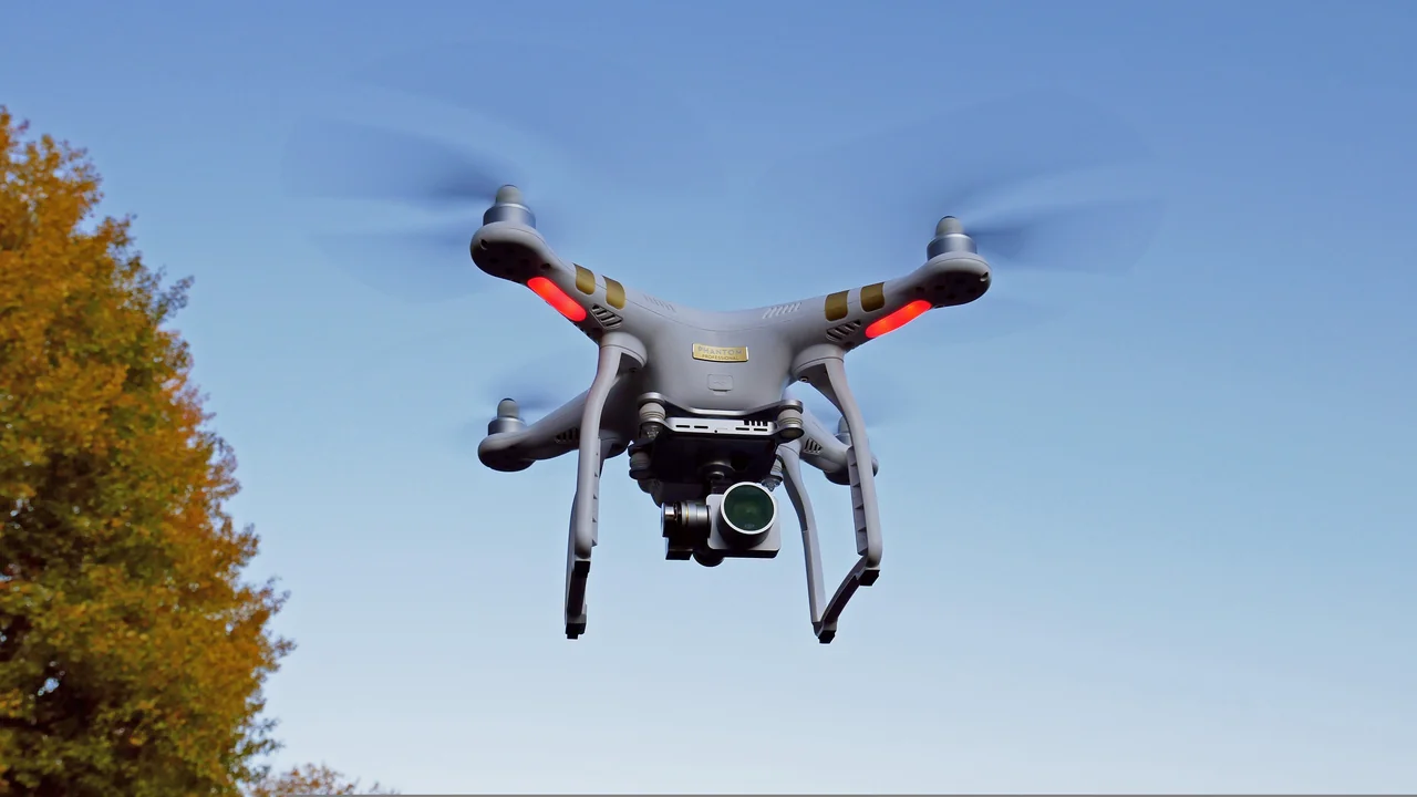
If you are planning to fly a drone in Massachusetts in 2026, you need to navigate a layered set of rules that combine federal FAA regulations with specific state and local restrictions. Whether you are a Boston-based commercial operator or a tourist hoping to capture aerial footage of Cape Cod, this guide to Massachusetts drone laws will clarify exactly where you can fly, what permits you need, and which iconic locations are off-limits. You will learn the critical distinctions between flying in Boston’s busy airspace, over Cape Cod National Seashore, and around the island airports of Martha’s Vineyard and Nantucket.
What Is the FAA Baseline for Drone Operations in Massachusetts?
Before diving into state-specific rules, you must comply with the Federal Aviation Administration (FAA) regulations that apply nationwide. In 2026, the FAA requires all drones weighing over 0.55 pounds (250 grams) to be registered through the FAA DroneZone for a $5 fee valid for three years. Recreational flyers must pass the TRUST exam, while commercial operators need a Part 107 Remote Pilot Certificate. The maximum altitude is 400 feet above ground level (AGL), and you must always maintain visual line of sight. Controlled airspace, such as around Logan International Airport (BOS), requires LAANC authorization before flight.
What does this mean for your flight in Massachusetts? The FAA baseline is your starting point, but state and local laws can impose additional restrictions. You cannot rely solely on federal rules—Massachusetts has its own drone law that you must understand before launching.
Massachusetts State Drone Law: MGL c. 90, s. 35C
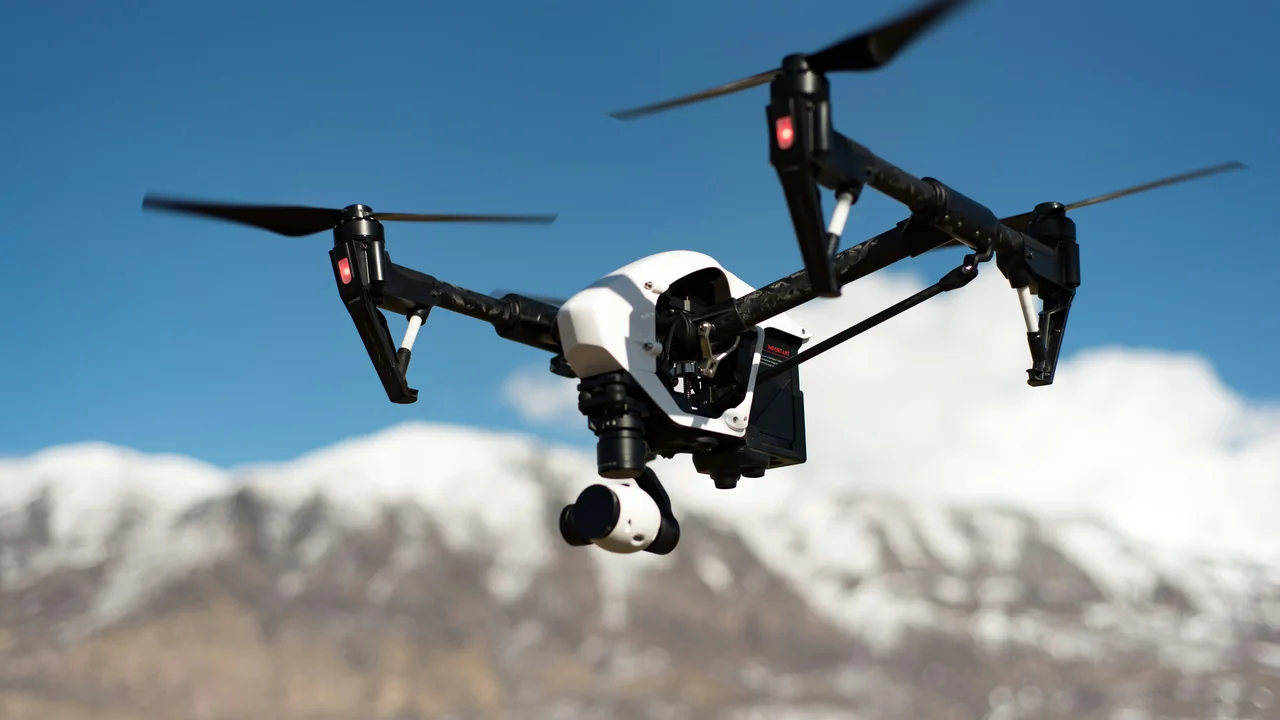
Massachusetts General Laws Chapter 90, Section 35C is the primary state statute governing drone operations. Enacted in 2016 and amended since, this law prohibits operating a drone in a way that endangers the safety of persons or property. It also explicitly bans flying over public or private property at a low altitude without the owner’s consent, which has significant implications for residential areas and private land.
Under MGL c. 90, s. 35C, you cannot fly a drone within 100 feet of a person or vehicle without permission, nor can you conduct surveillance of a person in a place where they have a reasonable expectation of privacy. Violations can result in fines up to $500 and potential criminal charges if reckless operation causes harm. This law applies statewide, including in rural areas like the Berkshires and coastal zones like Cape Ann.
Drone Laws Boston: Navigating Logan Airport Class B Airspace
Flying a drone in Boston requires careful planning due to Logan International Airport’s Class B airspace. The controlled zone extends in a tiered structure outward from the airport, covering downtown Boston, Cambridge, and parts of the inner suburbs. Any flight within this airspace requires prior LAANC authorization from the FAA, which you can obtain through apps like Kittyhawk or Aloft.
The downtown core, including the Boston Common, Freedom Trail, and North End, falls within the inner ring of Class B airspace where altitude restrictions are most severe. In many areas near the airport, LAANC approval may only grant flight up to 50 or 100 feet AGL, and some zones are completely restricted. You must check the specific grid cell for your intended launch point before flying.
Cambridge and Proximity to Logan Airport
Cambridge, home to Harvard University and MIT, lies directly under the approach path to Logan’s runways. The entire city is within Class B airspace, and drone flights are heavily restricted. Harvard and MIT have their own campus policies that generally ban drone operations on university property without explicit authorization. Even if you find a public park in Cambridge, you still need LAANC approval, and altitude limits are typically capped at 100 feet or lower.
If you are a student or researcher at one of these universities, you may be able to obtain permission for academic drone use, but recreational flights are effectively impossible in most of Cambridge due to airspace constraints. Always use the No-Fly Zone Checker to confirm your specific location before attempting to fly.
Cape Cod Drone Rules: National Seashore and Beyond
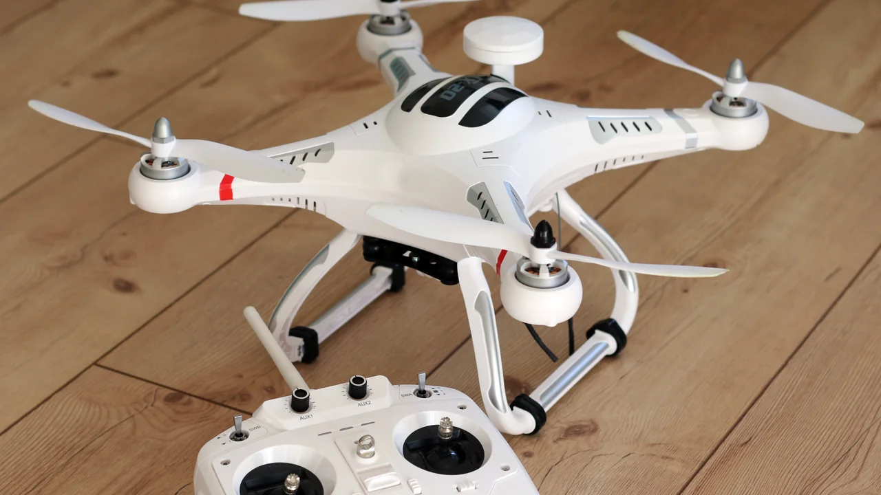
Cape Cod presents a mixed landscape for drone operators. The most important restriction is that Cape Cod National Seashore, which covers 40 miles of shoreline from Chatham to Provincetown, is entirely off-limits to drones. The National Park Service (NPS) bans all unmanned aircraft operations within park boundaries under 36 CFR § 1.5 and the NPS Policy Memorandum 14-05. This includes popular spots like Race Point Beach, Marconi Beach, and the Highland Light area.
Outside the national seashore, drone flights are generally permitted on Cape Cod as long as you comply with FAA regulations and Massachusetts state law. However, many town beaches and conservation areas may have local ordinances restricting drone use. The Cape Cod Commission does not have a county-wide drone ban, but individual towns like Chatham, Orleans, and Wellfleet may impose their own rules. Always check with the local municipality before flying.
Drone Laws Martha’s Vineyard: Island Airport and Popular Filming
Martha’s Vineyard is a premier filming destination, but its airport (MVY) creates Class D airspace that covers a significant portion of the island. Class D airspace extends from the surface to 2,500 feet AGL within a 4.4-nautical-mile radius of the airport. This means that much of the island’s central and western areas, including the towns of Vineyard Haven, West Tisbury, and parts of Edgartown, require two-way radio communication with air traffic control before you can fly.
For Part 107 pilots, you can request LAANC authorization to fly within Class D airspace, but recreational flyers must follow the FAA’s recreational rules and obtain authorization through the LAANC system as well. The limited land area of Martha’s Vineyard means that finding a location entirely outside controlled airspace is difficult. The eastern end of the island, including Chappaquiddick, may fall outside the Class D ring, but you still need to check the specific airspace grid.
Filming on Martha’s Vineyard is popular for real estate, weddings, and tourism promotion. If you are a commercial operator, ensure you have both Part 107 certification and any necessary permissions from private property owners. The island’s wealthy residents are often protective of their privacy, and MGL c. 90, s. 35C’s prohibition on low-altitude surveillance is strictly enforced here.
Nantucket Drone Rules: Class D Airspace on a Small Island
Nantucket Memorial Airport (ACK) operates Class D airspace that covers the entire island and surrounding waters. With a radius of approximately 4 nautical miles, this controlled airspace extends from the surface to 2,500 feet AGL. Given that Nantucket is only about 14 miles long and 3 to 5 miles wide, nearly every launch point on the island falls within Class D airspace.
Flying a drone on Nantucket requires LAANC authorization for both recreational and commercial operators. The airport handles significant seasonal traffic, especially during summer months, which can lead to airspace restrictions or temporary flight restrictions (TFRs) during special events. The Nantucket Conservation Foundation and local land trusts also prohibit drone use on their properties.
If you are capturing footage of the iconic Nantucket Harbor or the historic downtown, you must launch from public land and maintain visual line of sight. The narrow cobblestone streets and dense development make it challenging to find safe launch sites. Always check the current airspace status using the No-Fly Zone Checker before your trip.
Massachusetts State Parks: DCR Permit Required
The Massachusetts Department of Conservation and Recreation (DCR) manages over 450 state parks, forests, and reservations. Since 2019, the DCR has required a special permit for all drone operations on DCR property. This includes popular destinations like Walden Pond, Mount Greylock State Reservation, and the Cape Cod Rail Trail. Permits are issued on a case-by-case basis and typically require proof of insurance, a detailed flight plan, and a specific purpose such as research or commercial filming.
Recreational drone flights are generally prohibited in DCR parks without a permit. The application process can take several weeks, and permits are not guaranteed. If you are caught flying without a permit, you may face fines and confiscation of your equipment. The DCR enforces these rules through park rangers and local police.
Where You Can Fly (with caution)
- Private property with owner consent
- Municipal parks without local bans
- Open farmland in the Berkshires
- Coastal areas outside NPS jurisdiction
Where You Cannot Fly
- Cape Cod National Seashore
- DCR state parks without permit
- Logan Airport Class B airspace without LAANC
- Over people or vehicles without permission
Plymouth Rock Area: Historical Site Considerations
Plymouth Rock and the surrounding Pilgrim Memorial State Park are managed by the DCR, meaning drone flights are prohibited without a permit. The park is located on the waterfront in downtown Plymouth, which also falls under the influence of Plymouth Municipal Airport’s Class D airspace. While the airport is smaller than Logan, it still requires LAANC authorization for flights within its controlled zone.
The area around Plymouth Rock is often crowded with tourists, making it difficult to find a safe launch site away from people. Even if you could legally fly, the dense pedestrian traffic would make it challenging to maintain the required 100-foot distance from persons under Massachusetts law. Your best option for aerial footage of Plymouth Harbor is to launch from a private boat offshore, provided you have the owner’s permission and remain clear of the park’s airspace.
Berkshires Drone Flying: Open Spaces and State Forests
The Berkshires in western Massachusetts offer some of the most drone-friendly terrain in the state. Large tracts of state forest land, such as October Mountain State Forest and Pittsfield State Forest, are generally open for drone flights, but you must still obtain a DCR permit for any operation on state property. The good news is that the Berkshires have fewer airspace restrictions compared to eastern Massachusetts. The nearest major airport, Albany International (ALB), is across the New York border, and local airports like Pittsfield Municipal (PSF) have less restrictive Class D airspace.
Private land in the Berkshires is often undeveloped, and many landowners are amenable to drone flights if you ask permission. The mountainous terrain creates unique challenges for maintaining visual line of sight, especially when flying over ridges or valleys. Always keep your drone within 400 feet AGL and be aware of rising terrain that could bring you closer to the ground than expected.
Cape Ann Coast: Gloucester and Rockport Airspace
The Cape Ann coast, including the towns of Gloucester, Rockport, and Essex, offers stunning coastal scenery for drone photography. However, this area is within 30 miles of Logan Airport and falls under the broader Boston Class B airspace shelf. The actual controlled zones vary by altitude, and many areas along the coast may have LAANC availability up to 400 feet, depending on the specific grid cell.
Gloucester’s working harbor and the iconic Motif Number 1 in Rockport are popular subjects, but you must avoid flying over fishing vessels or crowds on the waterfront. The Massachusetts state law requiring 100-foot distance from people and vehicles applies here. Halibut Point State Park, managed by the DCR, is off-limits without a permit. For the best results, launch from a public beach or a private property with permission, and always check the LAANC grid before your flight.
New Bedford: Whaling Heritage and Airport Considerations
New Bedford, known for its whaling history, has its own municipal airport (EWB) with Class D airspace. The city’s historic district, including the New Bedford Whaling National Historical Park, is managed by the National Park Service and is subject to NPS drone restrictions. While the park itself is a collection of buildings rather than a natural area, NPS policy prohibits drone launches from park property.
The working waterfront and fishing port areas are not under NPS jurisdiction, but you must still comply with FAA airspace rules and Massachusetts state law. The Class D airspace around New Bedford Regional Airport requires LAANC authorization, and the airport’s traffic includes both general aviation and occasional military flights. Use the No-Fly Zone Checker to verify your specific launch point before flying in this area.
Summary: Your Action Plan for Flying in Massachusetts
Massachusetts drone laws in 2026 require a layered approach to compliance. Start with the FAA baseline: register your drone if it weighs over 0.55 pounds, pass the TRUST exam or hold a Part 107 certificate, and always fly below 400 feet AGL. Then apply state law: MGL c. 90, s. 35C prohibits low-altitude flights over private property without consent and requires a 100-foot distance from people and vehicles. Finally, check local restrictions: Cape Cod National Seashore is banned, DCR state parks require a permit, and Boston’s Class B airspace demands LAANC authorization.
For tourists, the safest approach is to fly in the Berkshires or on private land with permission, avoiding the crowded coastal areas and national parklands. Commercial operators should budget time for DCR permit applications and LAANC approvals. Before any flight, use the Weight Checker to confirm your drone’s registration status and the No-Fly Zone Checker to verify airspace restrictions. By following these steps, you can enjoy the diverse landscapes of Massachusetts while staying on the right side of the law.
Frequently Asked Questions
Are drones allowed at Cape Cod?
Drones are not allowed within Cape Cod National Seashore, which covers 40 miles of shoreline from Chatham to Provincetown, as the National Park Service bans all unmanned aircraft operations. Outside the national seashore, drone flights are generally permitted on Cape Cod provided you comply with FAA regulations, Massachusetts state law, and any local town ordinances. Always check with the specific town and use a no-fly zone checker before launching, as some beaches and conservation areas may have additional restrictions.
Can I fly a drone in Boston?
Flying a drone in Boston is possible but heavily restricted due to Logan International Airport’s Class B airspace. You must obtain LAANC authorization before every flight, and altitude limits are often capped at 50 to 100 feet AGL in the downtown core. Additionally, Massachusetts state law prohibits flying within 100 feet of people or vehicles without permission, and you cannot fly over private property at low altitude without the owner’s consent. Most of Boston’s parks, including the Boston Common, are managed by the DCR and require a permit for drone operations.
What are the drone rules in Massachusetts?
Massachusetts drone rules combine federal FAA regulations with state law MGL c. 90, s. 35C. Federally, you must register drones over 0.55 pounds, pass the TRUST exam or hold a Part 107 certificate, fly below 400 feet AGL, and obtain LAANC authorization in controlled airspace. State law prohibits low-altitude flights over private property without consent, bans flying within 100 feet of people or vehicles without permission, and forbids surveillance of individuals in places where they have a reasonable expectation of privacy. Violations can result in fines up to $500 and potential criminal charges.
Can I fly a drone on Martha’s Vineyard?
Yes, but with significant restrictions. Martha’s Vineyard Airport (MVY) creates Class D airspace that covers most of the island, requiring LAANC authorization for both recreational and commercial flights. The limited land area means finding a launch point outside controlled airspace is difficult, and the eastern end of the island near Chappaquiddick may offer the best options. You must also comply with Massachusetts state law regarding private property and distance from people, and obtain permission from property owners for low-altitude flights over their land.
Are drones legal in Massachusetts State Parks?
Drones are not legal in Massachusetts State Parks without a special permit from the Department of Conservation and Recreation (DCR). The DCR requires a permit for all drone operations on its properties, including state parks, forests, and reservations like Walden Pond and Mount Greylock. The permit process involves submitting proof of insurance, a detailed flight plan, and a specific purpose, and it can take several weeks to obtain. Recreational drone flights without a permit are prohibited and can result in fines and confiscation of equipment.
What is Massachusetts drone law?
Massachusetts drone law is primarily codified in MGL c. 90, s. 35C, which prohibits operating a drone in a way that endangers safety or property. The law specifically bans flying over public or private property at a low altitude without the owner’s consent, flying within 100 feet of a person or vehicle without permission, and conducting surveillance of individuals in places where they have a reasonable expectation of privacy. Violations are punishable by fines up to $500 and potential criminal charges for reckless operation. This state law applies in addition to all federal FAA regulations.
Last updated: June 25, 2026
- Federal Aviation Administration (faa.gov)
- Massachusetts General Laws Chapter 90, Section 35C
- National Park Service Policy Memorandum 14-05
- Massachusetts Department of Conservation and Recreation (mass.gov/dcr)
Drone Allowed
DroneAllowed editor covering drone regulations, aviation law, and aerial photography across USA, UK, Canada & Australia.