
New Hampshire Drone Laws 2026: White Mountains, Lakes & Rules
 13 min read
2,500 words
13 min read
2,500 words
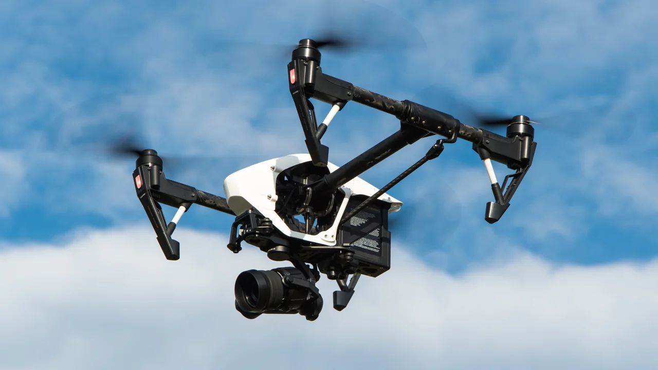
If you are planning to fly a drone in New Hampshire in 2026, you need to understand how federal FAA rules intersect with state-level regulations, especially if you are targeting iconic locations like the White Mountains, Lake Winnipesaukee, or the remote Connecticut Lakes. This guide breaks down the specific rules for New Hampshire drone laws, covering everything from the state’s own drone statute (RSA 422-B) to the unique flying conditions on Mount Washington and the policies governing state parks and national forests. You will learn exactly where you can fly, what permits you need, and how to avoid costly fines while capturing some of the most stunning aerial scenery in the Northeast.
What Are the Federal FAA Drone Rules That Apply in New Hampshire?
Before diving into state-specific rules, you must comply with the federal baseline set by the FAA. These rules apply to every drone flight in the United States, including all of New Hampshire.
If your drone weighs more than 0.55 lbs (250 grams), you must register it with the FAA DroneZone website and pay the $5 fee. This registration is valid for three years. You must also pass the TRUST (The Recreational UAS Safety Test) if flying recreationally, or hold a Part 107 Remote Pilot Certificate for any commercial operation. Regardless of your drone’s weight, you cannot fly above 400 feet above ground level (AGL) unless you have a waiver, and you must always maintain visual line of sight with your aircraft. Controlled airspace near airports like Manchester-Boston Regional (MHT) requires LAANC authorization before you take off.
What Is New Hampshire’s State Drone Law (RSA 422-B)?
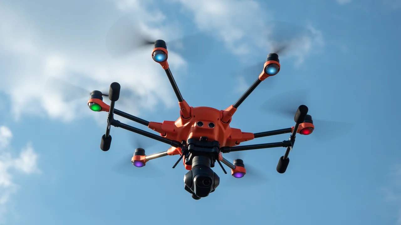
New Hampshire has its own drone statute, RSA 422-B, which was enacted to address privacy and operational concerns beyond the FAA’s scope. This law makes it illegal to operate a drone in a way that harasses, surveils, or invades the privacy of another person on private property without their consent. It also prohibits flying over correctional facilities, mental health facilities, and certain critical infrastructure without prior authorization. The law does not create blanket no-fly zones over all state land, but it does give law enforcement the ability to enforce trespass and privacy violations.
Does RSA 422-B Affect Flying in the White Mountains?
RSA 422-B applies statewide, but its impact on flying in the White Mountain National Forest is minimal because the forest is federal land managed by the U.S. Forest Service (USFS). The state law’s privacy provisions still apply if you fly over private inholdings within the forest, but the primary authority over the forest itself is the USFS, which generally permits drone flights for recreational and commercial use as long as you follow FAA rules and any specific forest orders.
Can You Fly a Drone in the White Mountain National Forest?
Yes, you can fly a drone in the White Mountain National Forest, and it is one of the most spectacular places in New Hampshire for aerial photography. The USFS has not imposed a blanket ban on drones within the forest, unlike some national parks. However, there are critical caveats. You cannot launch, land, or operate a drone from designated wilderness areas, which include the Great Gulf Wilderness, the Pemigewasset Wilderness, the Sandwich Range Wilderness, and the Presidential Range-Dry River Wilderness. These areas are marked on USFS maps and are off-limits to all mechanized equipment, including drones.
Mount Washington Drone Rules: Extreme Weather and Legal Access
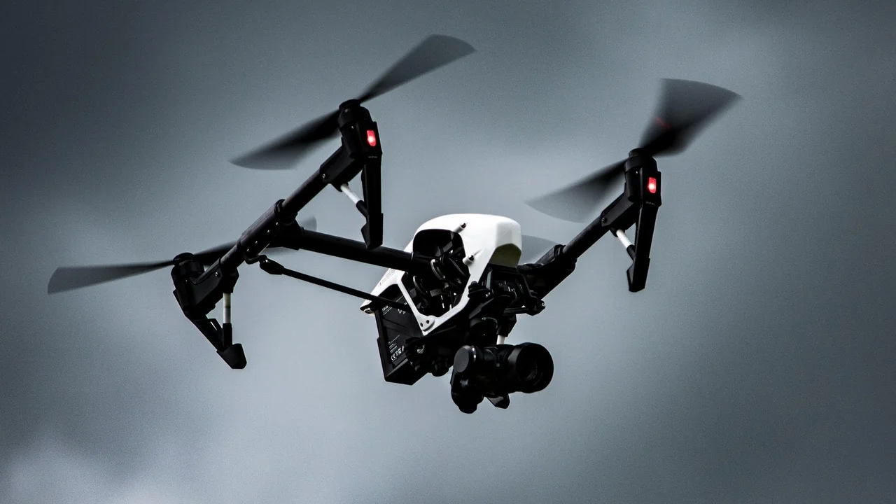
Mount Washington sits within the White Mountain National Forest, so the same general rules apply: you can fly there legally if you avoid wilderness areas and follow FAA altitude limits. However, the practical reality is that Mount Washington is one of the most dangerous places in the world to fly a drone. The summit holds the world record for the highest wind speed ever recorded — 231 mph (372 km/h) in 1934. Even on a calm summer day, winds at the summit regularly exceed 40 mph (64 km/h), which is beyond the operational limits of most consumer drones.
If you are determined to fly near Mount Washington, choose a day with winds under 15 mph (24 km/h) and use a drone with a high wind resistance rating, such as a DJI Mavic 3 or Autel EVO Lite+. Always keep your drone within visual line of sight and be prepared for sudden weather changes that can ground your flight instantly.
Are Drones Allowed in Franconia Notch State Park?
Franconia Notch State Park is a New Hampshire state park, and the New Hampshire Division of Parks and Recreation (DNCR) has a clear policy on drones. According to the DNCR, drones are prohibited from launching, landing, or being operated within any state park property unless you have a special use permit. This includes the Flume Gorge, the Cannon Mountain Aerial Tramway, and the Basin. The ban is in place to protect visitor safety, wildlife, and the natural quiet of the parks.
| Location | Drone Status | Notes |
|---|---|---|
| Franconia Notch State Park | Prohibited without permit | Includes Flume Gorge, Echo Lake, Cannon Mountain |
| White Mountain National Forest (non-wilderness) | Allowed | Follow FAA rules; no launch from wilderness areas |
| Mount Washington (summit area) | Restricted | Private property; extreme weather risk |
What Are the Drone Laws for New Hampshire State Parks?
As mentioned, the DNCR prohibits drone operations in all New Hampshire state parks, including popular destinations like Crawford Notch State Park, Bear Brook State Park, and Odiorne Point State Park. The only exception is if you obtain a special use permit from the DNCR, which is typically reserved for commercial film crews or research projects. For recreational pilots, the safest assumption is that you cannot fly in any state park. This policy applies year-round, regardless of the season or time of day.
Pros of Flying Outside State Parks
- Access to vast White Mountain National Forest areas
- No permit required for federal land (outside wilderness)
- Fewer crowds and more natural scenery
Cons of Flying in State Parks
- Blanket ban on all drone operations
- Fines and confiscation possible
- Special permit process is lengthy and not guaranteed
Drone Laws Near Manchester-Boston Regional Airport (MHT)
Manchester-Boston Regional Airport (MHT) is the busiest airport in New Hampshire, and it sits within Class C controlled airspace. This means you cannot fly a drone within the inner ring of the airspace (typically a 5-mile radius from the airport) without obtaining LAANC authorization from the FAA. The LAANC system provides near-instant approval for flights up to 400 feet in most areas, but you must submit a request through an approved service provider. Flying without authorization near MHT can result in FAA enforcement action, including fines up to $30,000.
Do Drone Laws in Manchester NH Differ From the Rest of the State?
The drone laws in Manchester, NH, do not differ at the state level — RSA 422-B applies uniformly — but the practical constraints are much tighter due to the airport and the city’s urban density. Manchester has several hospitals with helipads and a general aviation airport (Manchester-Boston Regional) that create overlapping controlled airspace zones. If you want to fly in Manchester, use the No-Fly Zone Checker to identify every restricted area before you launch.
How Does Portland, Maine Airspace Affect New Hampshire Drone Flights?
Portland International Jetport (PWM) in Maine has Class C airspace that extends into the southeastern corner of New Hampshire, particularly near the towns of Rollinsford and Somersworth. If you are flying in the Seacoast region of New Hampshire, you may be within the outer ring of Portland’s airspace, which requires LAANC authorization. This is a common oversight for pilots who assume that only New Hampshire airports matter. Always check airspace maps that cover a 10-mile buffer around your flight location, regardless of state lines.
Can You Fly a Drone at Lake Winnipesaukee?
Lake Winnipesaukee is a large public water body, and the airspace above it is not restricted by any state law or local ordinance that would prohibit drone flights. You can legally fly over the lake as long as you follow FAA rules. However, you must respect private property rights. If you launch from a public boat ramp or a town beach, you are generally fine, but if you launch from private shoreline property, you need the landowner’s permission. Also, be aware that the lake is surrounded by towns like Meredith, Laconia, and Wolfeboro, which may have local noise ordinances that could affect early morning or late evening flights.
Use the Weight Checker to confirm if your drone requires FAA registration. Most popular models like the DJI Mini series are under 250g and exempt.
Check for controlled airspace near Lake Winnipesaukee. The lake is near Laconia Municipal Airport (LCI) and other smaller fields.
Use a public boat launch or a town park. Avoid launching near busy swimming areas or boat docks.
Are Drones Allowed at the Connecticut Lakes?
The Connecticut Lakes region in northern New Hampshire is a remote, sparsely populated area that is largely open for drone flying. The lakes themselves — First Connecticut Lake, Second Connecticut Lake, Third Connecticut Lake, and Fourth Connecticut Lake — are surrounded by the Connecticut Lakes State Forest, which is managed by the state. However, the state forest does not have the same blanket ban as state parks. You can fly over the lakes and the surrounding forest as long as you do not launch from a designated state park campground or recreation area. The region is also far from major airports, so airspace restrictions are minimal. This makes the Connecticut Lakes an excellent choice for pilots seeking a quiet, unrestricted flying experience.
Summary: Flying Drones in New Hampshire in 2026
New Hampshire offers some of the best drone flying opportunities in the Northeast, particularly in the White Mountain National Forest and over its many lakes. The key to staying legal is understanding the split between federal land (generally open) and state parks (generally closed). Always register your drone with the FAA if it weighs over 250g, carry your TRUST certificate or Part 107 license, and check airspace before every flight. For the best experience, plan your flights in the White Mountain National Forest outside wilderness areas, and avoid Mount Washington on windy days. Use the No-Fly Zone Checker to verify your planned flight location, and the Weight Checker to confirm your drone’s registration status.
Frequently Asked Questions
Are drones allowed in the White Mountains?
Yes, drones are allowed in the White Mountain National Forest, which covers most of the White Mountains. You cannot fly in designated wilderness areas like the Great Gulf or Pemigewasset Wilderness. You must also follow all FAA rules, including the 400-foot altitude limit and maintaining visual line of sight. The U.S. Forest Service generally permits recreational and commercial drone use as long as you do not disturb wildlife or other visitors.
Can I fly a drone on Mount Washington?
Flying a drone on Mount Washington is legally possible because it is within the White Mountain National Forest, but it is extremely challenging due to weather. The summit experiences hurricane-force winds regularly, and most consumer drones cannot operate safely above 30 mph winds. Additionally, the summit buildings and the Auto Road are private property, so you cannot launch from those areas without permission. If you attempt to fly, choose a calm day and be prepared to abort your flight at any moment.
What are the drone laws in New Hampshire?
New Hampshire drone laws consist of the federal FAA rules and the state statute RSA 422-B. The FAA requires registration for drones over 250g, a TRUST certificate for recreational pilots, and a Part 107 license for commercial operations. RSA 422-B prohibits using drones to invade privacy or to harass people on private property. It also bans flights over correctional facilities and certain infrastructure. State parks prohibit drones without a special permit, but the White Mountain National Forest is generally open.
Are drones legal in New Hampshire State Parks?
No, drones are not legal in New Hampshire State Parks without a special use permit issued by the Division of Parks and Recreation. This includes all state parks such as Franconia Notch, Crawford Notch, Bear Brook, and Odiorne Point. The ban covers launching, landing, and operating drones from any state park property. Violating this policy can result in fines and confiscation of your equipment. The only exception is for permitted commercial film or research projects.
Can I fly a drone at Lake Winnipesaukee?
Yes, you can fly a drone over Lake Winnipesaukee because it is a public water body and not within a state park. You must follow all FAA rules, including staying below 400 feet and maintaining visual line of sight. You cannot launch from private shoreline property without permission, but public boat launches and town beaches are generally acceptable. Be mindful of local noise ordinances in towns like Meredith and Wolfeboro, especially during early morning hours.
What is New Hampshire’s drone law?
New Hampshire’s drone law is codified in RSA 422-B, which was enacted to address privacy and operational concerns. The law makes it illegal to operate a drone in a manner that surveils or harasses individuals on private property without consent. It also prohibits flights over correctional facilities, mental health facilities, and critical infrastructure. RSA 422-B does not create a statewide no-fly zone over all public land, but it does give law enforcement the authority to enforce trespass and privacy violations related to drone use.
Last updated: June 25, 2026
- Federal Aviation Administration (FAA) — faa.gov/uas
- New Hampshire RSA 422-B: Operation of Unmanned Aerial Vehicles
- U.S. Forest Service — White Mountain National Forest
- New Hampshire Division of Parks and Recreation
Drone Allowed
DroneAllowed editor covering drone regulations, aviation law, and aerial photography across USA, UK, Canada & Australia.