
Michigan Drone Laws 2026: Great Lakes, State Parks & Rules
 11 min read
2,170 words
11 min read
2,170 words
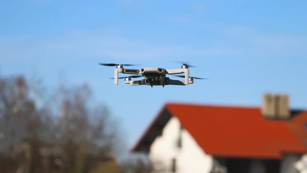
If you’re planning to fly a drone in Michigan in 2026, especially to capture the iconic dunes at Sleeping Bear or the colorful cliffs at Pictured Rocks, you need to understand a layered set of rules. Michigan drone laws combine federal FAA regulations with strict state and local policies that can catch even experienced pilots off guard. This guide covers everything from Detroit airspace restrictions to Upper Peninsula wilderness rules, so you know exactly where you can launch and where you’ll face a fine.
What Are the Federal FAA Drone Rules That Apply in Michigan?
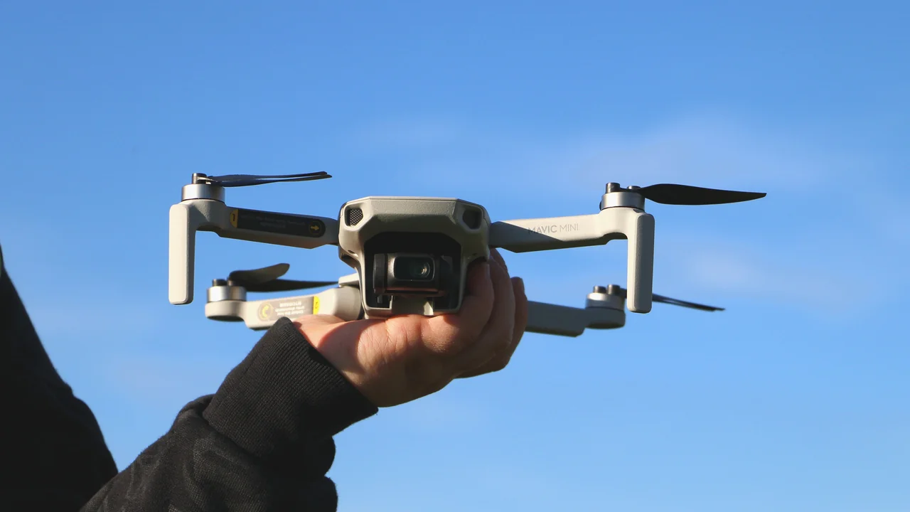
Before you fly anywhere in Michigan, you must comply with the FAA’s baseline regulations. These apply to all drone operations in the United States, regardless of state or local laws.
If your drone weighs more than 0.55 pounds (250 grams), you must register it with the FAA via the DroneZone website. The fee is $5 and covers three years. You must also pass The Recreational UAS Safety Test (TRUST) and carry proof of completion. For commercial operations, you need a Part 107 Remote Pilot Certificate. All flights must stay below 400 feet above ground level (AGL) and within visual line of sight. Controlled airspace near airports requires LAANC authorization.
Are Drones Allowed at Sleeping Bear Dunes National Lakeshore?
No. Sleeping Bear Dunes is a unit of the National Park Service (NPS), and the NPS bans drone launch, landing, and operation on all park lands. This includes the dunes, the shoreline, and the Pierce Stocking Scenic Drive. The ban applies even if you are flying from outside the boundary but your drone enters park airspace.
What Is the Legal Alternative Near Sleeping Bear Dunes?
The Huron-Manistee National Forest surrounds much of Sleeping Bear Dunes. National forests generally allow drone flights unless posted otherwise. You can launch from the forest’s trails or campgrounds to capture the dunes from a distance. Be careful not to fly over NPS land, as that still violates the ban.
Can I Fly a Drone at Pictured Rocks National Lakeshore?
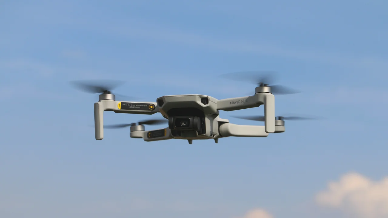
No. Like Sleeping Bear Dunes, Pictured Rocks is NPS land, and drones are prohibited. This covers the 40-mile stretch of sandstone cliffs, beaches, and trails. The ban is strictly enforced, and rangers can issue citations.
Where Can You Fly Near Pictured Rocks?
The Hiawatha National Forest borders Pictured Rocks to the south and west. You can fly over the forest’s lakes and woods legally. The Grand Marais area and the Munising region have many launch points outside the park boundary. Always confirm you are on national forest land before launching.
What Are the Drone Laws for Isle Royale National Park?
Isle Royale is also NPS land, so drones are banned. This remote island park in Lake Superior is a wilderness area with strict no-drone rules. The park is accessible only by ferry or seaplane, and rangers patrol the trails. Do not attempt to fly here.
Michigan State Parks Drones: What Does the DNR Say?
Michigan state parks, including those in the Upper Peninsula and along the Lake Michigan shoreline, are managed by the Michigan Department of Natural Resources (DNR). The DNR requires a special permit for drone flights in state parks. Without a permit, launching, landing, or operating a drone is prohibited.
| Land Type | Drone Policy | Permit Required? |
|---|---|---|
| Michigan State Parks | Prohibited without permit | Yes (DNR) |
| National Forests (Huron-Manistee, Hiawatha, Ottawa) | Generally open | No |
| National Lakeshores (Sleeping Bear, Pictured Rocks) | Banned | No exceptions |
| Isle Royale National Park | Banned | No exceptions |
Porcupine Mountains and Mackinac Island
Both the Porcupine Mountains Wilderness State Park and Mackinac Island State Park fall under DNR rules. You cannot fly without a permit. Mackinac Island’s dense tourism traffic makes enforcement likely. The Porcupine Mountains are remote, but the DNR still patrols backcountry areas.
Drone Laws Detroit: What Airspace Restrictions Apply?
Detroit has complex airspace due to Detroit Metropolitan Wayne County Airport (DTW) and Coleman A. Young Municipal Airport (DET). DTW is a Class B airspace with a 30-mile Mode C veil. You need LAANC authorization for any flight within 5 miles of DTW. The city also has local ordinances that restrict drone launches from city parks.
Can You Fly in Downtown Detroit?
Downtown Detroit is within DTW’s controlled airspace. You must use a LAANC-capable app like B4UFLY or Kittyhawk to request authorization. The Detroit River waterfront is popular for photography, but the airspace is tight. Many buildings exceed 400 feet, so maintaining altitude limits is challenging.
Grand Rapids (GRR) and Traverse City (TVC) Airspace
Grand Rapids’ Gerald R. Ford International Airport (GRR) is Class C airspace. LAANC authorization is required within the inner ring. Traverse City’s Cherry Capital Airport (TVC) is Class D airspace. Both airports have active drone traffic from local pilots. Use LAANC to get near-instant approval for flights below 400 feet.
Drone Rules Upper Peninsula Michigan
The Upper Peninsula (UP) is a drone pilot’s dream for remote flying. The vast Ottawa National Forest and Hiawatha National Forest cover millions of acres with minimal airspace restrictions. You can fly over lakes, waterfalls, and forests without needing LAANC authorization in most areas. However, state parks and NPS sites are off-limits.
What About the Lake Michigan Shoreline?
The Lake Michigan shoreline is a patchwork of federal, state, and private land. The sandy beaches north of Sleeping Bear Dunes are often state land. South of the park, the shoreline is a mix of private homes and small towns. Always verify ownership before launching. The water itself is not regulated by the FAA, but you must maintain visual line of sight and stay below 400 feet.
Pros of UP Flying
- Vast national forest land
- Minimal airspace restrictions
- Stunning waterfalls and lakes
Cons of UP Flying
- Limited cell service for LAANC apps
- State parks require permits
- Hunting season hazards
Huron-Manistee and Ottawa National Forests: Are They Open for Drone Flying?
Yes. The Huron-Manistee National Forest near Sleeping Bear Dunes and the Ottawa National Forest in the western UP are open for drone flights. The US Forest Service does not ban drones in national forests unless a specific area is posted. You can fly over trails, campgrounds, and lakes. Avoid flying near active wildfire operations or wildlife areas.
DNR Hunting and Fishing Season Considerations
Michigan’s DNR allows drone flights on state land outside of state parks, but during hunting season (October through December), you must be extremely careful. Drones can disturb hunters and wildlife. The DNR recommends avoiding flights during dawn and dusk hours when hunting is most active. Also, do not fly over active fishing areas on the Great Lakes, as drones can spook fish and annoy anglers.
What Are the Rules for Flying Drones Over the Great Lakes?
The Great Lakes are not regulated by the FAA for airspace, but you must follow all standard drone rules. You cannot fly over vessels without permission, and you must stay below 400 feet. The lakes are busy with shipping traffic, fishing boats, and recreational watercraft. The shoreline is often state or federal land, so you must launch from a legal location. Over the open water, you are free to fly, but be aware of wind conditions and battery life.
How to Check Airspace Before Flying in Michigan
Use a LAANC-enabled app like B4UFLY or AirMap to check airspace restrictions before every flight. For land ownership, use the Michigan DNR’s online map or the US Forest Service’s maps. Always carry your FAA registration and TRUST certificate.
- Check airspace with B4UFLY or AirMap
- Verify land ownership (NPS, DNR, USFS, private)
- Obtain LAANC authorization if needed
- Carry FAA registration and TRUST certificate
- Respect hunting season restrictions
Final Thoughts on Flying Drones in Michigan
Michigan offers incredible drone photography opportunities, but only if you know where to fly. The biggest mistake pilots make is assuming Sleeping Bear Dunes or Pictured Rocks are open for flights. They are not. Use the Huron-Manistee National Forest as your legal alternative near Sleeping Bear. For the Upper Peninsula, stick to national forest land and avoid state parks without a permit. Always check airspace before flying near Detroit, Grand Rapids, or Traverse City. Use our No-Fly Zone Checker to confirm your flight location, and verify your drone’s weight with the Weight Checker to ensure you need FAA registration. For permit requirements, the Registration Calculator can help you stay compliant.
Frequently Asked Questions
Are drones allowed at Sleeping Bear Dunes?
No. Sleeping Bear Dunes National Lakeshore is managed by the National Park Service, which bans all drone operations on park land. This includes the dunes, beaches, and trails. The ban is strictly enforced, and violators can face fines. The legal alternative is to fly from the adjacent Huron-Manistee National Forest, but you must not enter park airspace.
Can I fly a drone at Pictured Rocks?
No. Pictured Rocks National Lakeshore is also NPS land, and drones are prohibited. The ban covers the entire 40-mile shoreline and all inland trails. The Hiawatha National Forest south of the park is open for drone flights. Always confirm you are outside the park boundary before launching.
What are the drone laws in Detroit?
Detroit is within the Class B airspace of Detroit Metropolitan Wayne County Airport (DTW). You need LAANC authorization for any flight within 5 miles of the airport. The city also has local ordinances restricting drone launches from city parks. Downtown and the Riverfront are popular but require careful airspace planning.
Are drones legal in Michigan State Parks?
Drones are not allowed in Michigan State Parks without a special permit from the Michigan DNR. This includes popular parks like Porcupine Mountains, Mackinac Island, and all Lake Michigan shoreline parks. The permit process is not automatic and requires justification. Most recreational pilots should plan to fly elsewhere.
Can I fly a drone in the Upper Peninsula?
Yes, but only on national forest land and private property with permission. The Ottawa and Hiawatha National Forests cover much of the UP and are open for drone flights. State parks, Isle Royale, and Pictured Rocks are off-limits. The UP’s remote nature means limited cell service, so download offline maps before you go.
What are the rules for flying drones over the Great Lakes?
Flying over the Great Lakes is allowed as long as you follow FAA rules: stay below 400 feet AGL, maintain visual line of sight, and do not fly over vessels without permission. The shoreline is often state or federal land, so you must launch from a legal location. Be cautious of strong winds and keep your drone within battery range of your launch point.
Can I fly a drone over Mackinac Island?
Mackinac Island is a Michigan state park. You need a DNR permit to launch, land, or operate a drone from park property. Flying over the island from a boat on Lake Huron is allowed under FAA rules, but you must stay below 400 feet and avoid disrupting horses, carriages, or pedestrians.
Are drones allowed at Tahquamenon Falls State Park?
Yes, with a DNR drone permit. The Upper Tahquamenon Falls and Lower Tahquamenon Falls are popular drone spots. Launch from designated areas and avoid flying over crowds. The park can be crowded in summer, so plan for early morning flights.
Do I need a drone license for recreational flying in Michigan?
Recreational flyers must pass the FAA’s TRUST test and carry proof of completion. You also need to register your drone if it weighs over 0.55 lbs (250 grams). For commercial flying, you need a Part 107 certificate.
Can I fly a drone in the Porcupine Mountains Wilderness State Park?
Yes, with a DNR permit. The Porcupine Mountains (the “Porkies”) are a state park, so drone use is allowed under the same rules as other Michigan state parks. You cannot fly over designated wilderness areas or near backcountry campsites.
Is drone fishing legal in Michigan?
No. The Michigan DNR prohibits using drones to catch or retrieve fish. Using a drone to drop bait or lines is considered illegal fishing. You can use a drone for scouting, but you cannot use it to directly harvest fish.
Last updated: June 25, 2026
- Federal Aviation Administration (FAA) – faa.gov
- National Park Service – nps.gov
- Michigan Department of Natural Resources – michigan.gov/dnr
- US Forest Service – fs.usda.gov
Drone Allowed
DroneAllowed editor covering drone regulations, aviation law, and aerial photography across USA, UK, Canada & Australia.