
Rocky Mountain National Park Drone Laws 2026: Ban & Colorado Alternatives
 11 min read
2,107 words
11 min read
2,107 words
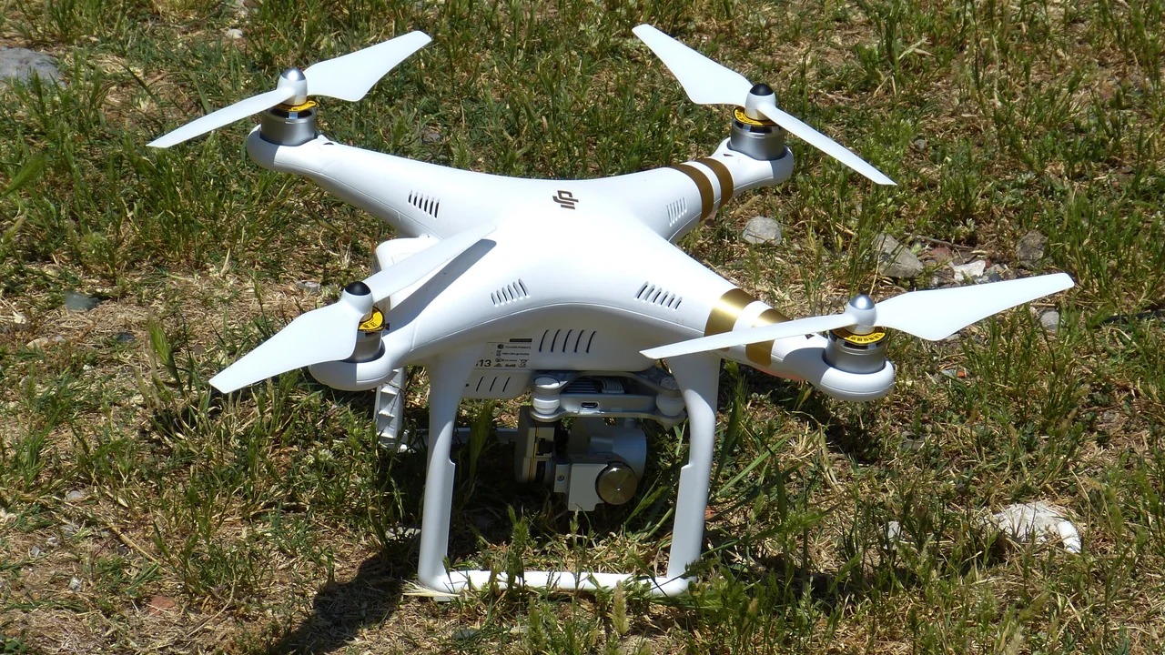
If you are planning a trip to Colorado and hoping to capture aerial footage of the iconic alpine scenery around Rocky Mountain National Park, you need to know one hard fact before you pack your drone: Rocky Mountain National Park drone laws are absolute. Drones are banned inside the park boundaries, and there are no exceptions for hobbyists or commercial pilots. This guide explains exactly where the ban applies, where you can legally fly nearby (like Estes Park and the surrounding national forests), and what you must do to keep your flight safe and legal at high altitudes.
Are Drones Allowed in Rocky Mountain National Park?
No. Drones are strictly prohibited in Rocky Mountain National Park. The National Park Service (NPS) banned unmanned aircraft across all units of the national park system in 2014 under Policy Memorandum 14-05. This includes all types of drones, from sub-250-gram models like the DJI Mini 4 Pro to heavy commercial rigs. The ban covers takeoff, landing, and operation from any location within park boundaries.
Where Does the Drone Ban Apply in Rocky Mountain NP?
The ban applies to every inch of the park’s 415 square miles. This includes all developed areas, backcountry trails, and popular destinations you might want to film. Specifically:
- Trail Ridge Road — the entire 48-mile scenic highway is inside the park. No drone flights are allowed from any pullout or overlook.
- Bear Lake — a heavily visited alpine lake. No drone flights from the shore or surrounding trails.
- Dream Lake and Mills Lake — both accessed via the Bear Lake Trailhead. Drones are banned on the trail and at the lakes.
- All backcountry zones, including Longs Peak, the Continental Divide, and the Kawuneeche Valley.
Can I Fly a Drone in Estes Park Colorado?
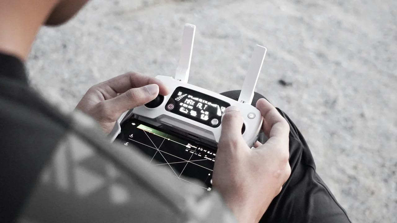
Estes Park, the gateway town on the east side of Rocky Mountain National Park, is largely open for drone flights — but with important caveats. The town itself is not part of the national park, so the NPS ban does not apply. However, you must follow all FAA rules and avoid any state or local restrictions.
Where to Fly in Estes Park
You can fly a drone in Estes Park over public spaces like Lake Estes, the Estes Park Golf Course, and open fields away from people. The key is to avoid flying directly over crowds, private property without permission, or any areas where emergency services are operating. The FAA requires you to keep your drone within visual line of sight and below 400 feet AGL.
Drone Laws Near Rocky Mountain National Park: National Forest Alternatives
If you want to film mountain scenery similar to what you would see inside the park, the surrounding national forests are your best bet. The US Forest Service (USFS) generally allows drone flights on national forest land, provided you follow FAA regulations and any local temporary flight restrictions.
Roosevelt National Forest
Roosevelt National Forest borders the eastern side of Rocky Mountain NP, including the area around Estes Park. Most of the forest is open for recreational drone flights. Popular spots include the areas near the Peak to Peak Highway (Colorado State Highway 72) and the Brainard Lake Recreation Area — though note that Brainard Lake itself is within the Indian Peaks Wilderness, which has its own restrictions.
Arapaho National Forest
Arapaho National Forest surrounds the western side of Rocky Mountain NP, including the Granby area and the Colorado River headwaters. This forest is also open for drone flights. The scenery around Grand Lake and Shadow Mountain Lake offers stunning alpine views that rival the park itself.
Granby Area
The town of Granby and the surrounding Arapaho National Forest are excellent alternatives. You can fly over open meadows, pine forests, and near the Colorado River without violating any park rules. Just be mindful of private land boundaries and keep your drone away from livestock and wildlife.
Indian Peaks Wilderness
Adjacent to Rocky Mountain National Park on the south side, Indian Peaks Wilderness is a designated Wilderness Area under the Wilderness Act of 1964. Drones are prohibited in all federally designated Wilderness Areas. The USFS and FAA consider drone flights a form of “motorized equipment” that is not allowed in wilderness zones. Do not fly here.
Altitude Considerations: Flying a Drone at 8,000 to 12,000+ Feet
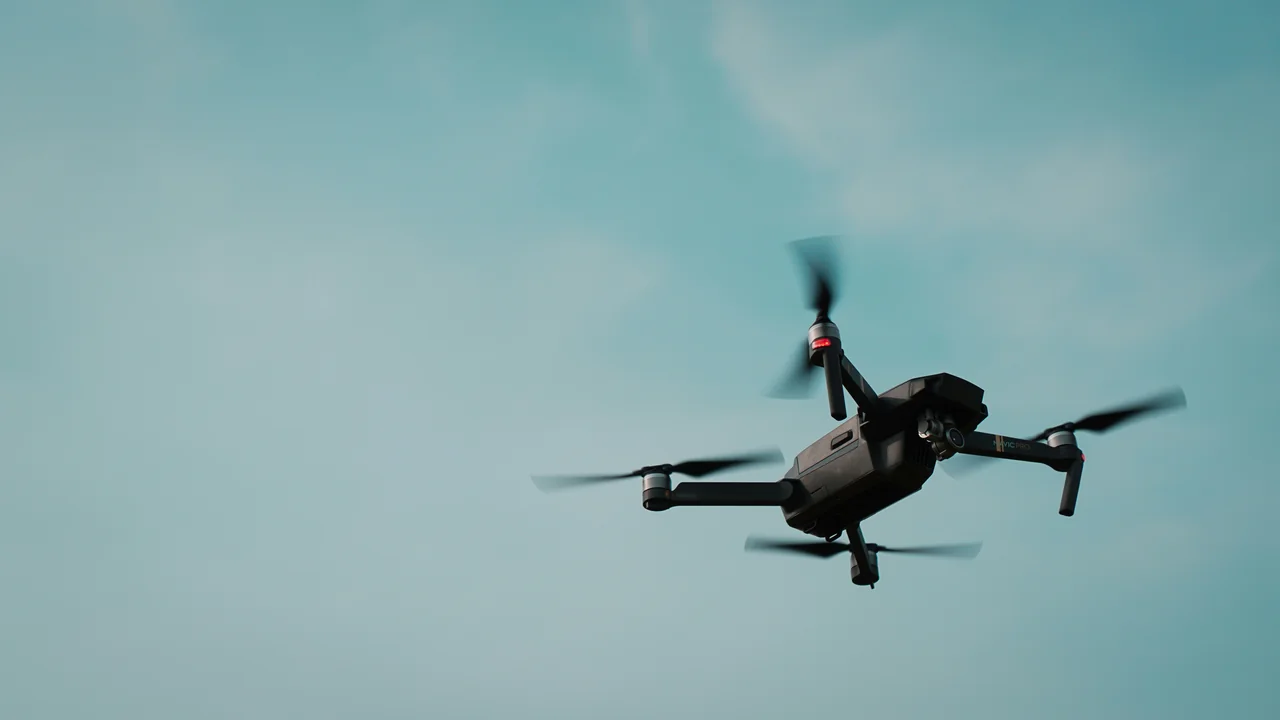
Colorado’s high altitude is not just a scenic bonus — it is a real operational challenge for drone pilots. At elevations above 8,000 feet, the air is significantly thinner, which reduces lift and propeller efficiency. Your drone will behave differently than it does at sea level.
How Altitude Affects Drone Performance
At 10,000 feet, the air density is roughly 30% lower than at sea level. This means your drone’s rotors have to spin faster to generate the same amount of lift. The immediate effects include reduced maximum flight time, slower climb rates, and less responsive handling. Battery life can drop by 25–40% compared to sea level operation.
Altitude Flying Tips
- Use full battery charge — do not fly below 50%.
- Fly in calm conditions — wind is worse at altitude.
- Keep flights short — plan for 10–12 minutes max.
- Use propeller guards if available for extra lift.
Common Problems
- Battery drains faster than expected.
- Drone may drift in light wind.
- GPS lock takes longer at high elevations.
- RTH altitude may be too low for terrain.
Most consumer drones have a factory-set altitude limit of 500 meters (1,640 feet) above takeoff point. At 10,000 feet, you are already near that ceiling. Adjust your settings in the app before launching.
Cold temperatures at altitude reduce battery voltage. Warm your batteries to room temperature before inserting them into the drone. Do not leave batteries in a cold car overnight.
In mountainous areas, set your Return-to-Home altitude at least 100 feet above the highest obstacle in your flight path. Default settings may cause your drone to crash into a ridge.
How to Check Airspace Before Flying Near Rocky Mountain NP
Even though the national forests are open for drone flights, you still need to verify that no temporary flight restrictions (TFRs) or special use airspace is active. Wildfires, firefighting aircraft, and military training areas can close airspace at any time.
Use the FAA’s B4UFLY app or No-Fly Zone Checker to check current airspace status before every flight. This tool shows controlled airspace, wilderness zones, and any active TFRs. It is free and takes 30 seconds to use.
Summary: Where to Fly and Where to Avoid
To summarize the Rocky Mountain National Park drone laws for 2026: you cannot fly anywhere inside the park boundaries. This includes Trail Ridge Road, Bear Lake, Dream Lake, Mills Lake, and all backcountry areas. Your legal alternatives are Estes Park (outside the park), Roosevelt National Forest, and Arapaho National Forest. Avoid Indian Peaks Wilderness and any designated Wilderness Areas. Always check airspace with a tool like the No-Fly Zone Checker before launching, and account for the significant altitude effects on your drone’s battery and lift. With the right planning, you can capture stunning Colorado mountain footage without breaking federal law.
Frequently Asked Questions
Are drones allowed in Rocky Mountain National Park?
No, drones are banned in Rocky Mountain National Park under the National Park Service’s 2014 policy. This ban applies to all types of unmanned aircraft, including sub-250-gram drones. Violating this ban can result in federal fines up to $5,000 and confiscation of your equipment.
Can I fly a drone in Estes Park Colorado?
Yes, Estes Park is outside the national park boundaries and is generally open for drone flights. You must follow all FAA rules, including keeping your drone within visual line of sight and below 400 feet AGL. Avoid flying over people, private property without permission, and emergency service areas.
Where can I fly a drone near Rocky Mountain NP?
The best legal alternatives are Roosevelt National Forest to the east and Arapaho National Forest to the west. Both allow drone flights on most public land. The towns of Estes Park and Granby also offer open spaces. Avoid Indian Peaks Wilderness, which is a designated Wilderness Area where drones are prohibited.
Are drones allowed in Roosevelt National Forest?
Yes, Roosevelt National Forest generally allows drone flights on its public land. There is no blanket ban, but you must follow FAA regulations and avoid interfering with wildlife, other visitors, or emergency operations. Always check for temporary fire restrictions or airspace closures before flying.
Does altitude affect drone performance in Colorado?
Yes, altitude significantly affects drone performance. At 10,000 feet, air density is about 30% lower than at sea level, reducing lift and propeller efficiency. Battery life can drop by 25–40%, and climb rates are slower. You should plan for shorter flights, keep batteries warm, and set your RTH altitude well above terrain.
Can I fly a drone at Trail Ridge Road?
No, Trail Ridge Road is entirely within Rocky Mountain National Park. The drone ban applies to the entire road, including all pullouts, overlooks, and parking areas. You cannot launch, land, or fly a drone from any point along Trail Ridge Road. Use the nearby national forests for similar alpine scenery.
Can I fly a drone over Rocky Mountain National Park from private property outside the park?
No. While the drone itself may be in the air, the operation is still considered to be conducted from the location of the pilot. If you are standing on private property outside the park and fly the drone over park land, you are still subject to the National Park Service’s ban under 36 CFR § 2.17(a)(3). The ban covers launching, landing, and operating an unmanned aircraft from within park boundaries, and “operating” includes flying over the park.
What happens if I get caught flying a drone in Rocky Mountain National Park?
You can face a federal citation with fines up to $5,000 and potential confiscation of your drone. First-time offenders often receive a $1,000 fine. Repeat violations can lead to court appearances and additional penalties. Park rangers actively patrol popular areas like Bear Lake and Trail Ridge Road during peak season.
Are there any exceptions for commercial drone pilots with a Part 107 certificate?
No. The National Park Service ban applies to all drone operations, whether recreational or commercial. Even with a Part 107 certificate, you cannot fly in Rocky Mountain National Park without a special use permit from the NPS, which is rarely granted and typically only for scientific research or official park projects.
Can I fly a drone in Estes Park town limits?
Estes Park town limits do not have a specific drone ban, but you must follow all FAA rules. Avoid flying near people, vehicles, or structures. Do not fly in Estes Park’s downtown area during busy tourist hours. Always check local ordinances, as the town council may update rules in the future.
What is the best national forest near Rocky Mountain National Park for drone flying?
Roosevelt National Forest, directly adjacent to the park’s eastern boundary, offers excellent alpine scenery without the drone ban. The Peak to Peak Highway provides numerous pullouts and trailheads where you can launch legally. For western views, Arapaho National Forest near Grand Lake is another solid option.
How does altitude affect my drone’s performance at Rocky Mountain National Park?
At elevations above 8,000 feet, your drone’s battery life can decrease by 30-50% due to thinner air and increased motor strain. Propeller efficiency drops, making the drone less responsive. Always fly with fully charged batteries, keep flights short, and land well before the battery reaches 30% to avoid forced landings.
Last updated: June 25, 2026
- National Park Service Policy Memorandum 14-05 (Unmanned Aircraft)
- FAA Part 107 and Recreational Drone Rules
- US Forest Service – Roosevelt and Arapaho National Forests drone policy
Drone Allowed
DroneAllowed editor covering drone regulations, aviation law, and aerial photography across USA, UK, Canada & Australia.