
Rhode Island Drone Laws 2026: Beaches, Newport & Rules
 14 min read
2,727 words
14 min read
2,727 words
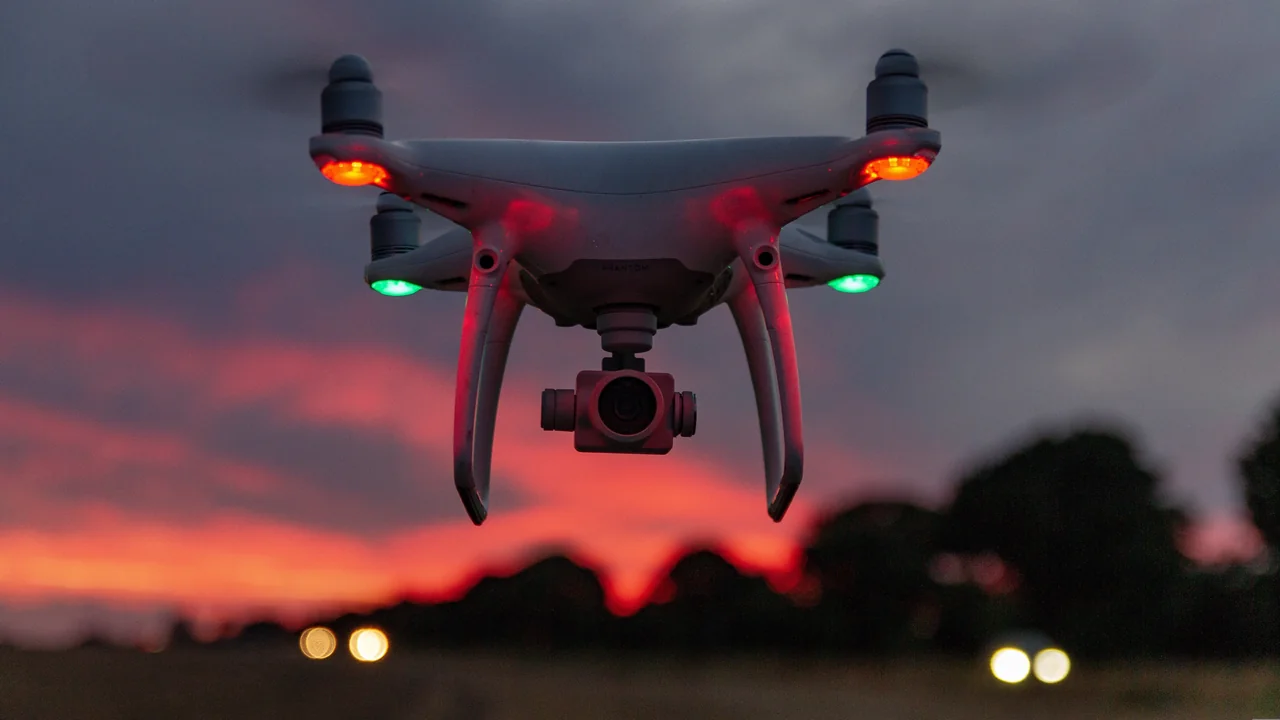
If you are planning to fly a drone in Rhode Island in 2026, you need to understand that this tiny state packs some of the most complex airspace on the East Coast. From the restricted zone over Naval Station Newport to the crowded Class C airspace around Providence, Rhode Island drone laws require careful pre-flight planning. This guide covers the federal FAA rules you must follow, state-specific statutes like RIGL 1-27, and local ordinances affecting beaches, parks, and historic areas like Newport and Block Island. By the end, you will know exactly where you can launch, what permits you need, and how to avoid a costly fine.
Federal FAA Baseline: The Rules That Apply Everywhere in Rhode Island
Before looking at state or local laws, every drone pilot in Rhode Island must comply with the Federal Aviation Administration’s regulations. These are the non-negotiable foundation of all drone operations in the United States.
If your drone weighs more than 0.55 pounds (250 grams), you must register it with the FAA through the FAADroneZone. The registration fee is $5 and is valid for three years. This applies to virtually all consumer drones, including the DJI Mini series if you add accessories that push it over the weight threshold. Use our Weight Checker to confirm your drone’s status.
For recreational flyers, you must pass The Recreational UAS Safety Test (TRUST) and carry proof of completion. For commercial operations, you need a Part 107 Remote Pilot Certificate. The altitude limit is 400 feet above ground level (AGL), and you must always maintain visual line of sight with your drone. Flying over people or moving vehicles without a waiver is prohibited.
Airspace authorization is required before flying in controlled airspace. In Rhode Island, this means you need LAANC approval for flights near T.F. Green Airport (PVD) and other controlled fields. Flying in restricted areas, such as those around military installations, is strictly forbidden without prior permission from the controlling agency.
Rhode Island Drone Statute: RIGL 1-27 and What It Means for Pilots
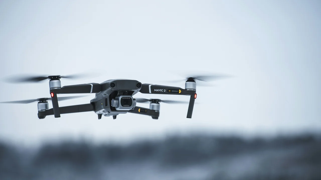
Rhode Island’s state-level drone law is codified in Rhode Island General Laws Title 1, Chapter 27 (RIGL 1-27). This statute was enacted to address privacy concerns and create state-level enforcement mechanisms that complement federal rules.
Under RIGL 1-27, it is unlawful to operate a drone in a way that intentionally harasses, surveils, or captures images of a person in a place where they have a reasonable expectation of privacy. This includes backyards, inside homes, and private property not visible from public vantage points. The law also prohibits operating a drone within 500 feet of a correctional facility or any facility used for the confinement of persons.
Importantly, RIGL 1-27 does not preempt local ordinances. Cities and towns can pass their own drone regulations, as long as they do not conflict with FAA airspace rules. This means you must check both state law and local municipal codes before flying.
Drone Laws Newport RI: Navigating Historic Airspace and City Rules
Newport is one of the most popular drone destinations in Rhode Island, but it is also one of the most restricted. The city itself has not passed a specific drone ordinance as of 2026, but the airspace constraints make many areas effectively off-limits.
Naval Station Newport Restricted Area
The single biggest factor affecting drone laws Newport RI is Naval Station Newport. This active military installation creates a restricted area that covers a significant portion of Aquidneck Island, including most of Newport’s coastline and downtown areas. The restricted airspace extends from the surface up to several thousand feet.
Flying a drone inside this restricted area without prior authorization from the Navy is a federal violation. The restricted zone covers the entire naval base, including the adjacent areas of the Cliff Walk and the beaches along the eastern shore of the island. Even if you are standing on public land, launching a drone into restricted airspace is illegal.
The Cliff Walk and Adjacent Airspace
The Cliff Walk is a 3.5-mile public path along Newport’s eastern shoreline. It is a National Recreation Trail and a major tourist attraction. However, much of the Cliff Walk runs directly adjacent to the Naval Station Newport restricted area. The boundary of the restricted zone is not always clearly marked on the ground, so you must use a reliable airspace mapping tool before flying.
Even if you find a section of the Cliff Walk that appears to be outside the restricted zone, the proximity to the military installation means you are at high risk of violating the airspace. The FAA and Navy do not offer a grace period for accidental incursions. Use our No-Fly Zone Checker to verify your exact location before launching anywhere on Aquidneck Island.
Providence Drone Rules: Class C Airspace and Urban Operations
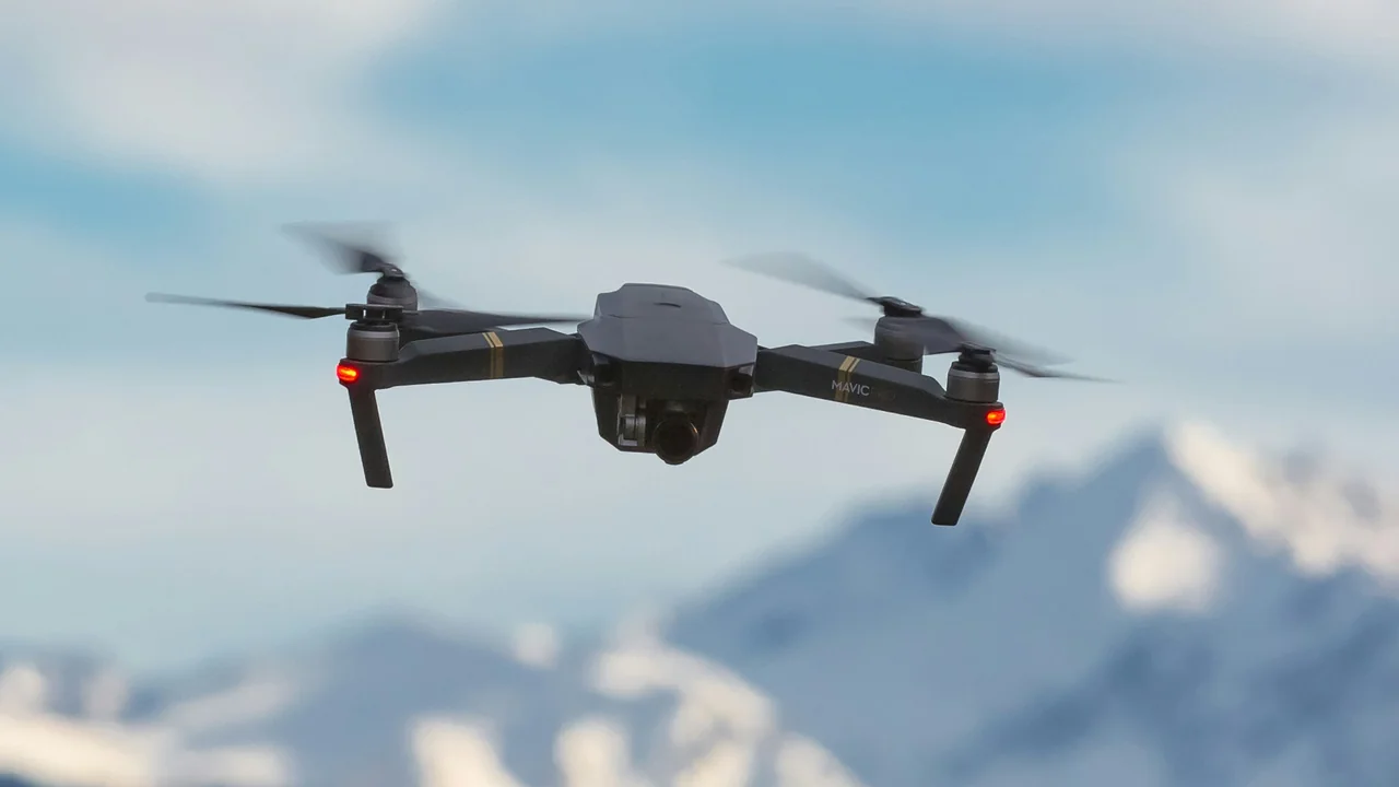
Providence is the state’s capital and largest city. The primary airspace constraint is T.F. Green Airport (PVD), which is a Class C airport. Class C airspace extends in two concentric rings around the airport, reaching up to 4,000 feet AGL in the inner ring and 1,200 feet AGL in the outer ring.
Flying a drone in Providence requires LAANC authorization from the FAA for any flight within the Class C surface area or the outer shelf. The city itself has not enacted a specific drone ordinance, but general municipal codes regarding parks, public gatherings, and noise may apply. For example, flying over Roger Williams Park or Waterplace Park may violate park rules if you are disturbing other visitors.
The Providence River and the area around the Providence Performing Arts Center are popular for photography, but you must ensure your flight path does not enter the approach or departure corridors for PVD. Use the FAA’s B4UFLY app to check real-time airspace status.
Rhode Island Beach Drone Rules: Where You Can and Cannot Fly
Rhode Island’s coastline is a major draw for drone pilots, but beach drone rules vary significantly by municipality. There is no statewide ban on drone flying over beaches, but many towns have enacted their own restrictions.
Narragansett Town Beach Ordinance
The Town of Narragansett has a specific ordinance prohibiting the launching, landing, or operation of drones on or over Narragansett Town Beach. This includes the main beach area and the adjacent boardwalk. The ordinance is enforced by the Narragansett Police Department, and violators can face fines and confiscation of equipment.
This ban applies year-round, not just during the summer season. If you want to capture aerial footage of the Narragansett coastline, you must launch from a private property with permission or from a location outside the town’s jurisdiction, such as a state beach with different rules.
Rhode Island State Parks: DEM Policy
The Rhode Island Department of Environmental Management (DEM) manages the state’s parks, beaches, and management areas. The DEM policy requires a special use permit for any drone operation on DEM land. This includes popular state beaches like Misquamicut State Beach, East Beach, and Scarborough State Beach.
Applying for a permit is not a simple process. You must provide proof of insurance, a detailed flight plan, and evidence of FAA registration or Part 107 certification. Permits are typically granted only for commercial filming or scientific research, not for recreational flights. Flying without a permit can result in trespassing charges and fines.
Narragansett Bay Drone Operations: Navigating Complex Waterways
Narragansett Bay is a large estuary that extends from Providence to the Atlantic Ocean. Flying a drone over the bay is generally legal, provided you maintain compliance with FAA airspace rules and do not violate restricted areas. However, there are several important considerations.
The bay is bordered by multiple airports, including Quonset State Airport (OQU) on the western shore. Quonset is a joint civil-military airport with a control tower. The airspace around Quonset is Class D, meaning you need two-way radio communication with the tower if you are operating within the surface area. For drone pilots, this effectively means you need LAANC authorization to fly within the Class D ring.
Additionally, the bay has numerous islands, including Prudence Island, Patience Island, and Hope Island, which are part of the state’s management areas. These islands are under DEM jurisdiction, so the same permit requirement applies. Flying over the water itself is fine, but landing on these islands without a permit is prohibited.
Drone Rules at Block Island: Tourism and Airspace Challenges
Block Island is a popular summer destination located about 12 miles south of the Rhode Island mainland. It is a beautiful location for aerial photography, but the drone rules at Block Island are restrictive due to the presence of Block Island State Airport (BID).
Block Island State Airport has a Class D airspace designation when the control tower is operational. The Class D surface area extends in a 4.4-nautical-mile radius from the airport, covering virtually the entire island. When the tower is closed, the airspace reverts to Class G (uncontrolled), but pilots should check the airport’s operating hours, which vary seasonally.
During the summer months, the tower is typically staffed from early morning until sunset. This means you cannot fly a drone anywhere on Block Island without LAANC authorization during those hours. Even when the tower is closed, you must remain below 400 feet AGL and avoid flying near the airport runway or any aircraft traffic patterns.
Pros of Flying at Block Island
- Stunning coastal scenery and cliffs
- Unobstructed views of the Atlantic
- Lower population density in off-season
Cons of Flying at Block Island
- Class D airspace covers entire island when tower is active
- Summer crowds make safe landings difficult
- DEM permit required for state beach and park areas
If you plan to fly on Block Island, launch from a private property with permission, avoid the ferry terminal and the downtown area where people congregate, and always check the airport’s status before your flight. The Block Island National Wildlife Refuge is also off-limits to drones without a special use permit from the U.S. Fish and Wildlife Service.
How to Fly Legally in Rhode Island: A Step-by-Step Process
To ensure you are compliant with all Rhode Island drone laws in 2026, follow this process before every flight.
Weigh your drone with all accessories attached. If it is over 0.55 pounds, register it with the FAA. Use the Weight Checker for confirmation.
Use the FAA’s B4UFLY app or our No-Fly Zone Checker to identify any restricted areas, Class B/C/D airspace, or temporary flight restrictions (TFRs) in your intended flight zone.
If you are in controlled airspace, submit a LAANC request through an approved service provider. Approval is typically instant for recreational flights within standard altitude limits.
Review the municipal code for the town you are flying in. Look for any drone bans, park restrictions, or noise ordinances. For state parks, apply for a DEM permit if required.
Maintain visual line of sight, stay below 400 feet, avoid people and private property, and respect privacy. Carry your FAA registration and TRUST certificate or Part 107 license at all times.
Final Thoughts on Flying Drones in Rhode Island
Rhode Island offers incredible aerial opportunities, from the historic streets of Newport to the rugged coastline of Block Island, but the state’s small size means airspace conflicts are unavoidable. The combination of Naval Station Newport’s restricted zone, Providence’s Class C airspace, and the multiple smaller airports creates a dense patchwork of no-fly zones. Your best strategy is to plan each flight meticulously using FAA-approved tools and to verify local ordinances before you travel.
For most recreational pilots, the safest options are open areas in rural parts of the state, such as the Arcadia Management Area (with a DEM permit) or private farmland with landowner permission. Avoid the heavily restricted areas around Newport and Block Island unless you have the proper authorizations and a clear understanding of the boundaries. Remember that ignorance of the restricted zone around Naval Station Newport will not protect you from federal enforcement action. Fly smart, respect the rules, and Rhode Island’s skies can still offer some of the most beautiful drone footage on the East Coast.
Frequently Asked Questions
Are drones allowed on Rhode Island beaches?
Drones are generally not allowed on most Rhode Island beaches. Town-owned beaches like Narragansett Town Beach have specific ordinances banning drone operations. State beaches managed by the DEM require a special use permit that is difficult to obtain for recreational flights. The only legal way to fly near a beach is from private property with the landowner’s permission, provided you do not enter restricted airspace or violate FAA rules.
Can I fly a drone in Newport Rhode Island?
Flying a drone in Newport is extremely difficult due to the restricted area surrounding Naval Station Newport. The restricted zone covers most of Aquidneck Island, including the downtown area, the Cliff Walk, and many beaches. Without prior authorization from the Navy, launching a drone anywhere near the base or its surrounding buffer zone is illegal. You should use an airspace mapping tool to verify your location before any flight near Newport.
What are the drone laws in Providence?
Providence falls under the Class C airspace of T.F. Green Airport. You must obtain LAANC authorization before flying anywhere within the controlled airspace. The city has not passed a specific drone ordinance, but you must comply with general municipal codes regarding parks and public spaces. Popular locations like India Point Park are accessible if you have LAANC approval and do not disturb other visitors.
Are drones banned near Naval Station Newport?
Yes, drones are banned from flying inside the restricted area surrounding Naval Station Newport. This restricted zone extends from the surface up to several thousand feet and covers a large portion of Aquidneck Island. Flying a drone into this area without permission from the Navy is a federal violation that can result in fines, confiscation of equipment, and potential criminal charges. The restricted zone is actively monitored.
Can I fly a drone at Block Island?
You can fly a drone at Block Island, but only under specific conditions. Block Island State Airport has Class D airspace when its tower is operational, which covers the entire island. You need LAANC authorization during tower hours. When the tower is closed, the airspace reverts to Class G, but you must still stay below 400 feet and avoid the airport. The Block Island National Wildlife Refuge and DEM-managed beaches require permits.
What is Rhode Island’s drone law?
Rhode Island’s state drone law is RIGL 1-27, which prohibits using drones to harass, surveil, or capture images of people in private spaces. The law also bans drone operations within 500 feet of correctional facilities. Violations are misdemeanors for first offenses and felonies for subsequent ones. This state law works alongside federal FAA regulations and local municipal ordinances, creating a multi-layered legal framework for drone pilots.
Last updated: June 25, 2026
- Federal Aviation Administration (faa.gov)
- Rhode Island General Laws Title 1, Chapter 27 (RIGL 1-27)
- Rhode Island Department of Environmental Management (DEM) Special Use Permit Policy
- Town of Narragansett Municipal Code
Drone Allowed
DroneAllowed editor covering drone regulations, aviation law, and aerial photography across USA, UK, Canada & Australia.