
Toronto Drone Laws 2026: Pearson, Billy Bishop & Where to Fly
 14 min read
2,668 words
14 min read
2,668 words
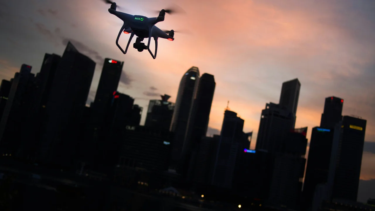
If you are searching for Toronto drone laws to understand where you can fly in 2026, you have come to the right place. Toronto’s unique geography, with two major airports—Pearson (CYYZ) and Billy Bishop (CYTZ)—creates a complex airspace that catches many drone pilots off guard. In this guide, you will learn the federal Transport Canada rules, the specific no-fly zones around both airports, and exactly which parks and waterfront areas are open or closed to recreational and commercial drone flights.
What Are the Federal RPAS Rules from Transport Canada for Toronto?
All drone operations in Toronto fall under Transport Canada’s Canadian Aviation Regulations (CARs), Part IX. These rules apply to any Remotely Piloted Aircraft System (RPAS) weighing between 250 grams and 25 kilograms. If your drone weighs under 250 grams, you are exempt from registration and pilot certification, but you must still follow all safety rules—including the 122-metre (400-foot) altitude limit and airspace restrictions.
For drones 250 grams and above, you must register your drone with Transport Canada (free, valid for 5 years) and obtain a pilot certificate. The Basic RPAS Pilot Certificate is free and requires passing an online exam. The Advanced RPAS Pilot Certificate (C$10 exam fee) is required if you plan to fly within controlled airspace or near people. In Toronto, the Advanced certificate is often necessary because much of the city falls within controlled airspace around Pearson and Billy Bishop.
Pearson Airport (CYYZ) Drone Rules: The Large Suburban No-Fly Zone
Pearson International Airport (CYYZ) is a Class C airspace with a massive footprint that extends well beyond the airport property. The controlled airspace around Pearson covers a radius of approximately 18.5 kilometres (10 nautical miles) from the airport centre, with specific altitude floors and ceilings. This zone blankets much of Mississauga, Brampton, Vaughan, and northern Etobicoke.
How the Pearson CTR Affects Drone Flights in Suburban Toronto
Within the Pearson Control Zone (CTR), drone flights are prohibited unless you have an Advanced RPAS Pilot Certificate and receive authorization from NAV CANADA through the DroneZone portal. The CTR extends from the surface up to 2,000 feet above ground level. For recreational pilots with a Basic certificate, the entire Pearson CTR is effectively a no-fly zone.
Key areas affected by Pearson’s airspace include:
- Downsview Park and surrounding neighbourhoods
- Centennial Park and Etobicoke Creek
- Humber Bay Shores and the western waterfront
- All of Mississauga and Brampton
Billy Bishop Airport (CYTZ) Drone Rules: The Downtown Game-Changer
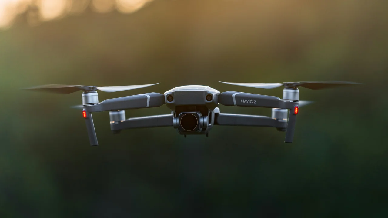
Billy Bishop Toronto City Airport (CYTZ) is the most critical Toronto-specific issue for drone pilots. Located on the Toronto Islands directly in the harbour, this Class D airport creates a Control Zone (CTR) that covers the entire downtown waterfront and the islands themselves. The CTR extends from the surface up to 2,000 feet AGL and has a radius of approximately 5.6 kilometres (3 nautical miles).
Why Billy Bishop Affects the Entire Downtown Waterfront
Because Billy Bishop sits on an island in the harbour, its CTR covers all of the Toronto Islands, the harbour, and the shoreline from roughly Exhibition Place in the west to the Port Lands in the east. This means that virtually every popular drone launch point along the waterfront—from Harbourfront Centre to Sugar Beach—is inside controlled airspace. Flights here require an Advanced RPAS Pilot Certificate and NAV CANADA authorization.
Many Toronto residents and visitors mistakenly believe they can fly over the harbour or from the islands. In reality, the Billy Bishop CTR makes the entire downtown waterfront a restricted zone for basic-certificate pilots. The only exception is if you fly from a location outside the 5.6 km radius and remain below 122 metres (400 feet) AGL, but even then, you must not enter the lateral boundaries of the CTR.
Toronto Island Park: Completely Closed to Drones
Toronto Island Park, which encompasses the three main islands—Centre Island, Ward’s Island, and Hanlan’s Point—is a no-fly zone for two reasons. First, it lies entirely within the Billy Bishop CTR. Second, the Toronto Island Park is managed by the City of Toronto, which prohibits drone operations on park property. Even with Advanced certification and NAV CANADA authorization, you cannot launch or land on the islands without a special permit from the city.
If you want to capture aerial footage of the Toronto skyline from the lake, you must launch from a boat outside the CTR (beyond 5.6 km from Billy Bishop) or from a permitted location on the mainland. The city’s parks bylaw explicitly bans “unmanned aerial vehicles” in all parks, which includes the beaches and green spaces on the islands.
High Park: Largely Open to Drones with Conditions
High Park is one of the few large green spaces in Toronto where drone flights are generally permitted, provided you follow Transport Canada rules. The park sits west of downtown, and most of its area falls outside the Billy Bishop CTR. However, the northern edge of High Park may be close to the Pearson CTR boundary. You must check the airspace before flying.
Key conditions for flying in High Park:
- Stay below 122 metres (400 feet) AGL
- Keep your drone in visual line of sight at all times
- Avoid flying over people, animals, and roads within the park
- Do not fly near Grenadier Pond or other wildlife areas during nesting seasons
- Respect park hours and other visitors
Scarborough Bluffs: Generally Open for Drone Flights
The Scarborough Bluffs, located in eastern Toronto along Lake Ontario, are a stunning natural feature and a popular drone photography destination. The bluffs are largely outside the controlled airspace of both Pearson and Billy Bishop airports. The closest controlled airspace is the Pearson CTR, which ends approximately 15 kilometres west of the Bluffs. Billy Bishop’s CTR ends approximately 10 kilometres west.
However, the Bluffs are within the Toronto city limits, and some sections are managed by the Toronto and Region Conservation Authority (TRCA) or the City of Toronto. While there is no blanket ban on drones at the Bluffs, you must avoid flying over the water if boats are present, and you cannot fly over the bluffs themselves if people are on the beach below. The cliffs are also sensitive to erosion, so launching from the top is not recommended.
Rouge National Urban Park: Banned by Parks Canada
Rouge National Urban Park, located in northeastern Scarborough, is Canada’s first national urban park and is managed by Parks Canada. As with all national parks in Canada, drones are banned unless you have a specific permit from Parks Canada. This permit is rarely granted for recreational purposes. The ban applies to all park lands, including the hiking trails, meadows, and the Rouge River valley.
If you are caught flying a drone in Rouge National Urban Park, you may face fines under the Canada National Parks Act. The ban is strictly enforced by Parks Canada wardens. Even if you are outside the park boundaries, ensure your drone does not enter the park’s airspace, as the ban extends to the airspace above the park.
Tommy Thompson Park: Check TRCA Rules Before Flying
Tommy Thompson Park, also known as the Leslie Street Spit, is a man-made peninsula that extends into Lake Ontario. It is managed by the Toronto and Region Conservation Authority (TRCA). The park is a designated Important Bird Area and is home to many species of birds, especially during migration seasons.
The TRCA’s policy on drones is not explicitly stated in all park signage, but the authority generally prohibits drone flights due to the sensitive wildlife habitat. Additionally, Tommy Thompson Park lies within the Billy Bishop CTR, as it is only about 4 kilometres east of the airport. This means you would need Advanced certification and NAV CANADA authorization to fly there legally. Given the wildlife sensitivity and airspace restrictions, it is best to avoid flying at Tommy Thompson Park altogether.
CN Tower Proximity and the Surrounding Airspace Restriction
The CN Tower is a prominent landmark in downtown Toronto, but it is not an airport. However, the area around the CN Tower is heavily restricted due to its location within the Billy Bishop CTR. The tower itself is 553 metres (1,815 feet) tall, and Transport Canada rules prohibit flying within 75 metres of any building, structure, or vehicle not under your control. This means you cannot fly your drone within 75 metres of the CN Tower or the Rogers Centre.
Moreover, the entire downtown core around the CN Tower—from Front Street to the waterfront and from Spadina Avenue to Jarvis Street—is inside the Billy Bishop CTR. Without Advanced certification and NAV CANADA authorization, you cannot legally fly anywhere in this zone. Even with authorization, you must remain below 122 metres (400 feet) AGL, which is far below the tower’s height. Do not attempt to fly near the CN Tower for aerial shots unless you have explicit permission.
Pros of Flying in Toronto
- Stunning skyline and waterfront views
- Several parks like High Park and Scarborough Bluffs are open
- Transport Canada resources are available in English and French
Cons of Flying in Toronto
- Billy Bishop CTR covers the entire downtown waterfront
- Toronto Islands are completely off-limits
- Pearson CTR covers most suburban areas
- Parks Canada bans drones in Rouge National Urban Park
Where Can I Legally Fly a Drone in Toronto?
Despite the restrictions, there are still legal places to fly a drone in Toronto. The key is to find locations outside the controlled airspace of both airports and away from parks with bans. Here are the best options:
| Location | Airspace Status | Notes |
|---|---|---|
| High Park | Outside Billy Bishop CTR (check boundaries) | Follow park rules; avoid crowds |
| Scarborough Bluffs | Outside both airport CTRs | Avoid flying over beachgoers |
| Rouge Valley (outside park) | Outside CTRs (check boundaries) | Do not enter Rouge National Urban Park |
| Port Lands (east of Cherry Beach) | Outside Billy Bishop CTR (eastern edge) | Industrial area; check for wildlife |
| North York parks (e.g., Earl Bales Park) | Outside Pearson CTR (northern edge) | Check airspace before flying |
Always verify the exact airspace using the No-Fly Zone Checker before flying. The boundaries of controlled airspace can shift with NOTAMs (Notices to Airmen), so check on the day of your flight.
Summary: Flying a Drone in Toronto in 2026
Toronto drone laws in 2026 are defined by the interplay of Transport Canada’s federal rules and the unique airspace created by Pearson and Billy Bishop airports. The single most important takeaway is that Billy Bishop Airport’s CTR covers the entire downtown waterfront and the Toronto Islands, making them effectively off-limits for basic-certificate pilots. To fly legally in downtown Toronto, you need an Advanced RPAS Pilot Certificate and authorization from NAV CANADA.
For most recreational pilots, the best strategy is to fly in locations like High Park or the Scarborough Bluffs, which are outside controlled airspace. Always check the No-Fly Zone Checker before each flight, and remember that Parks Canada bans drones in Rouge National Urban Park. If you are a visitor to Toronto, plan your flights carefully—the city’s airspace is more restrictive than many other Canadian cities due to the island airport.
Frequently Asked Questions
Can I fly a drone in downtown Toronto?
Flying a drone in downtown Toronto is extremely restricted due to the Billy Bishop Airport (CYTZ) Control Zone (CTR). The CTR covers the entire downtown core from the waterfront north to approximately Bloor Street and from Spadina Avenue east to the Don Valley. To fly legally in this zone, you need an Advanced RPAS Pilot Certificate and authorization from NAV CANADA through the DroneZone portal. Without these, launching a drone in downtown Toronto is illegal and can result in fines from Transport Canada.
Are drones allowed near Billy Bishop Airport?
Drones are not allowed near Billy Bishop Airport without proper authorization. The airport’s Class D Control Zone extends 5.6 kilometres (3 nautical miles) from the airport centre, covering the Toronto Islands, the harbour, and the downtown waterfront. Any drone flight within this zone requires an Advanced RPAS Pilot Certificate and a Special Flight Operations Certificate (SFOC) or NAV CANADA authorization. Recreational pilots with a Basic certificate cannot operate within this zone under any circumstances.
What are the drone rules in Toronto?
The drone rules in Toronto follow Transport Canada’s Part IX regulations. All drones over 250 grams must be registered and the pilot must hold a Basic or Advanced RPAS Pilot Certificate. The altitude limit is 122 metres (400 feet) AGL, and you must keep your drone in visual line of sight at all times. Additionally, Toronto’s two airports create controlled airspace zones: Pearson Airport (CYYZ) covers northern and western suburbs, while Billy Bishop Airport (CYTZ) covers the downtown waterfront and Toronto Islands. City parks like High Park allow drones, but Toronto Island Park and Rouge National Urban Park are off-limits.
Can I fly a drone on Toronto Islands?
No, you cannot fly a drone on the Toronto Islands. The islands are entirely within the Billy Bishop Airport Control Zone, making them a no-fly zone for drones unless you have an Advanced RPAS Pilot Certificate and NAV CANADA authorization. Additionally, the City of Toronto prohibits drones in all city parks, which includes the beaches, trails, and green spaces on Centre Island, Ward’s Island, and Hanlan’s Point. Even with federal authorization, you would need a separate permit from the city to launch or land on the islands.
Is the CN Tower area a no-fly zone for drones?
Yes, the CN Tower area is effectively a no-fly zone for drones without Advanced certification and NAV CANADA authorization. The tower is located within the Billy Bishop Airport Control Zone, which covers the entire downtown core. Additionally, Transport Canada rules prohibit flying within 75 metres of any building, structure, or vehicle not under your control. Since the CN Tower is 553 metres tall, you cannot legally fly near it without special permission. Even with authorization, you must remain below 122 metres (400 feet) AGL, which is far below the tower’s height.
Where can I legally fly a drone in Toronto?
You can legally fly a drone in Toronto at locations outside the controlled airspace of both Pearson and Billy Bishop airports. The best options include High Park (check boundaries), Scarborough Bluffs, the eastern Port Lands, and parks in North York like Earl Bales Park. Always verify the airspace using the No-Fly Zone Checker before flying. Avoid Rouge National Urban Park (Parks Canada ban), Tommy Thompson Park (TRCA restrictions), and all Toronto Islands. For recreational pilots, the Scarborough Bluffs offer the most open airspace with stunning views of Lake Ontario.
Last updated: June 25, 2026
- Transport Canada — Canadian Aviation Regulations Part IX: RPAS
- NAV CANADA — Drone Zone Portal and Airspace Maps
- City of Toronto — Parks Bylaw Chapter 608
- Parks Canada — Canada National Parks Act Drone Ban
Drone Allowed
DroneAllowed editor covering drone regulations, aviation law, and aerial photography across USA, UK, Canada & Australia.