
North Carolina Drone Laws 2026: Smoky Mountains, Coast & Rules
 14 min read
2,645 words
14 min read
2,645 words
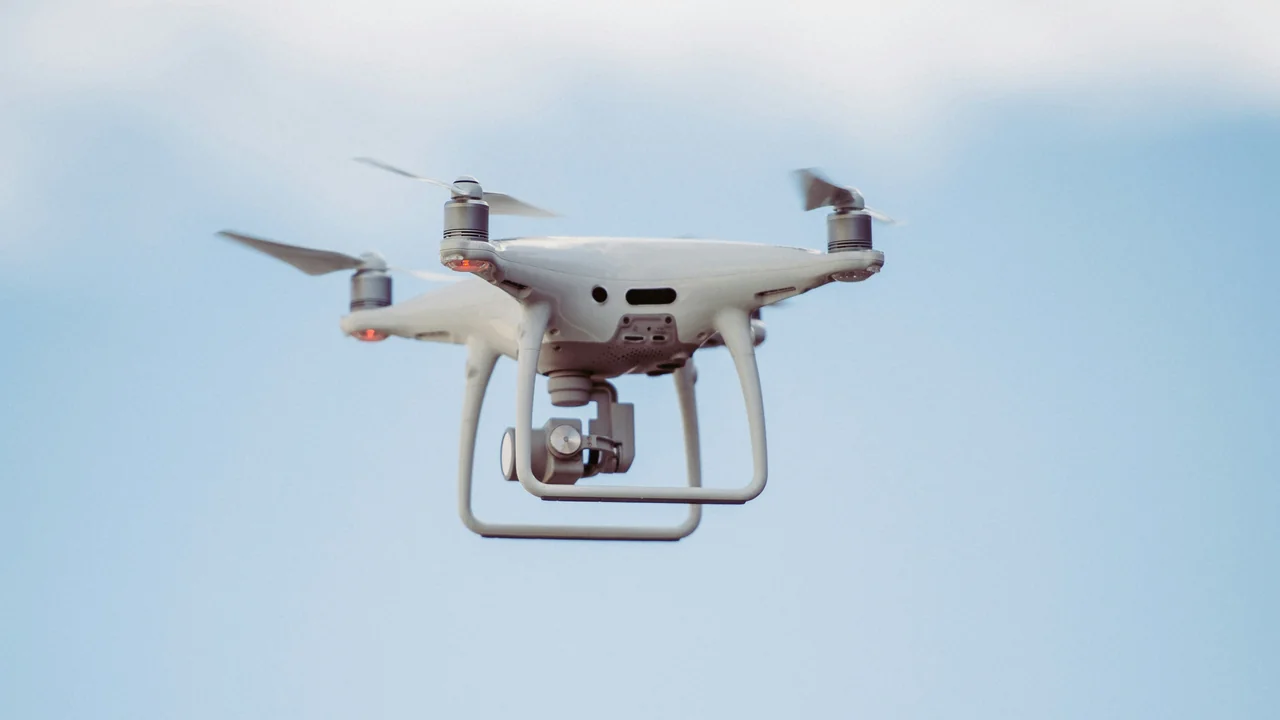
If you are planning to fly a drone in North Carolina in 2026, especially around the Great Smoky Mountains, the Outer Banks, or the Blue Ridge Parkway, you need to understand a complex patchwork of rules. North Carolina drone regulations are defined by the FAA at the federal level, but your ability to launch is heavily restricted by the National Park Service (NPS), the US Forest Service (USFS), and the North Carolina Division of Parks and Recreation. This guide breaks down exactly where you can fly, where you cannot, and what the specific penalties are for violating these rules, ensuring your trip to the Tar Heel State is both legal and productive.
What Is the FAA Baseline for Flying a Drone in North Carolina?
Before you consider state or local rules, you must comply with the FAA’s federal regulations. These apply to every drone flight in North Carolina, from Charlotte to the coast. The most critical requirement is registration through the FAA DroneZone. Any drone weighing more than 0.55 lbs (250g) must be registered for a $5 fee, which is valid for three years. This includes popular models like the DJI Mini 4 Pro (under 250g) and the DJI Air 3 (over 250g).
You must also adhere to the standard operating rules: fly at or below 400 feet above ground level (AGL), keep the drone within visual line of sight (VLOS), and never fly over people or moving vehicles without a waiver. For commercial operations, you need a Part 107 Remote Pilot Certificate. Recreational flyers must pass the TRUST test. The LAANC system is used to get instant authorization for controlled airspace around airports like Charlotte Douglas (CLT) and Raleigh-Durham (RDU).
Are Drones Banned in the Great Smoky Mountains National Park?
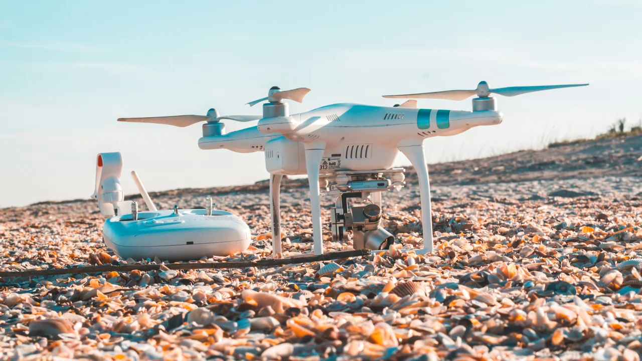
Yes, drones are strictly prohibited in the Great Smoky Mountains National Park (GSMNP). This is a federal ban enforced by the National Park Service under 36 CFR § 1.5. The ban covers all areas of the park, including trails, overlooks, campgrounds, and backcountry. The GSMNP is the most visited national park in the United States, and the NPS has a zero-tolerance policy for drone flights. Violators face fines up to $5,000 and potential confiscation of their equipment.
This ban is particularly frustrating for aerial photographers because the Smokies offer stunning views of mist-covered ridges and ancient forests. However, the NPS rationale is clear: drones disturb wildlife (especially black bears and elk), disrupt the quiet solitude of other visitors, and pose safety risks in the event of an emergency. Even launching from a public road outside the park boundary and flying into the park is illegal. Your only legal alternative for mountain photography is to fly in the adjacent national forests.
Can You Fly a Drone on the Blue Ridge Parkway?
No. The Blue Ridge Parkway is a unit of the National Park Service, and the same drone ban applies here as in the Great Smoky Mountains National Park. The parkway spans 469 miles from Shenandoah National Park in Virginia to the Great Smoky Mountains in North Carolina, and every mile of it is off-limits to drones. This includes all overlooks, visitor centers, picnic areas, and the adjacent forests managed by the NPS.
Many visitors mistakenly believe that because the parkway is a road, it falls under state or local jurisdiction. This is incorrect. The NPS has full authority over the land. If you are caught launching a drone from a popular overlook like the Linn Cove Viaduct or the Craggy Gardens, you will be cited. The NPS uses rangers and visitor reports to enforce the ban. For aerial shots of the Blue Ridge Mountains, your best bet is to fly in the Pisgah or Nantahala National Forests, which border the parkway in many areas.
What Are the Drone Rules for the Outer Banks?
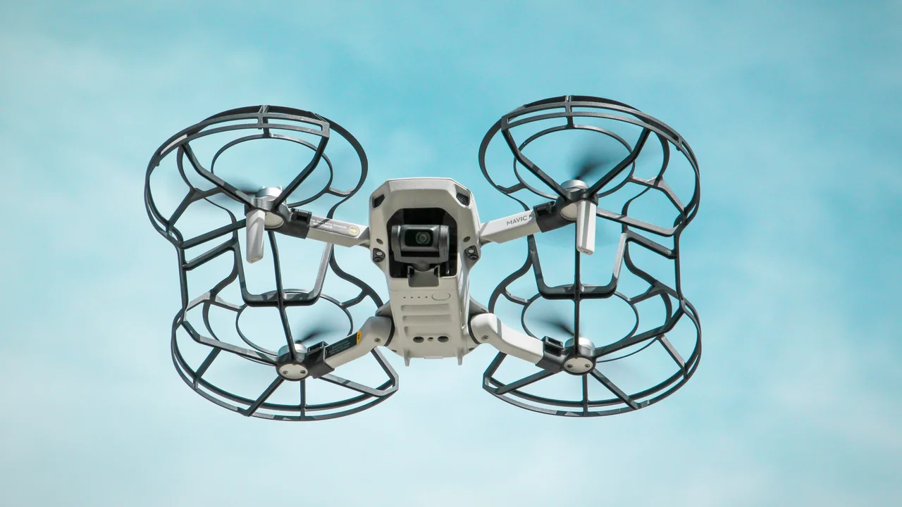
The Outer Banks presents a unique jurisdictional puzzle. The area is a mix of NPS land, state beaches, and county-managed shorelines. The most critical distinction is between Cape Hatteras National Seashore (NPS, banned) and the non-NPS beaches.
Flying at Cape Hatteras National Seashore
Cape Hatteras National Seashore is a unit of the National Park Service, and drone flights are banned across the entire seashore. This includes the beaches from Bodie Island to Ocracoke Island, the Cape Hatteras Lighthouse, and the Oregon Inlet. The ban is absolute and applies to both recreational and commercial flights. NPS rangers actively patrol the beaches, especially during peak tourist season.
Flying on State and County Beaches (Nags Head, Kitty Hawk, Kill Devil Hills)
The situation is different for the beaches in towns like Nags Head, Kitty Hawk, and Kill Devil Hills, which are not part of the national seashore. These beaches are managed by the respective towns and Dare County. Currently, there is no county-wide ban on drones, but you must follow all FAA rules. This means you cannot fly over people on the beach, you must maintain VLOS, and you cannot disturb wildlife. Sea turtles and nesting birds are protected under the Endangered Species Act. Flying too close to a sea turtle nest or a flock of shorebirds can result in federal fines.
Are Drones Allowed in North Carolina State Parks?
No. The North Carolina Division of Parks and Recreation has a policy that prohibits the launching, landing, or operation of unmanned aircraft systems (UAS) on all state park property. This includes all 41 state parks, state recreation areas, and state natural areas. The policy is based on the same concerns as the NPS: noise, wildlife disturbance, and visitor safety. Popular state parks like Hanging Rock, Pilot Mountain, and Morrow Mountain are all off-limits.
There is no permit process for recreational drone use in NC state parks. The only exception is for official park business or approved research projects. If you are caught flying in a state park, you can be charged with a misdemeanor and face fines. The park rangers have the authority to confiscate your drone and ban you from the park. Always check the specific park’s website before your visit, as some parks may have additional restrictions.
Can You Fly a Drone in Pisgah and Nantahala National Forests?
Yes, generally. The US Forest Service (USFS) manages Pisgah National Forest and Nantahala National Forest, and unlike the NPS, the USFS does not have a blanket ban on drones. You are allowed to launch and fly in most areas of these forests, provided you follow FAA rules and any specific local orders. This is excellent news for mountain photographers who want to capture the Blue Ridge Mountains.
Pros of Flying in National Forests
- Stunning mountain and waterfall views
- No blanket ban (most areas open)
- Less crowded than NPS land
- Can fly near trails (with caution)
Cons of Flying in National Forests
- Must avoid wilderness areas
- Must respect temporary closures (e.g., fire, wildlife)
- Must yield to manned aircraft (helicopters, small planes)
- No flying over other visitors or campsites
However, there are important caveats. You cannot fly in designated wilderness areas within the forests, such as the Shining Rock Wilderness or the Linville Gorge Wilderness. These areas are managed under the Wilderness Act, which prohibits motorized equipment, including drones. You also cannot fly in areas that have a temporary closure order, such as near a wildfire or a wildlife rehabilitation site. Before your flight, check the USFS website for the specific ranger district you plan to visit. The Pisgah and Nantahala forests are large, and local conditions can change quickly.
What Are the Drone Laws in Cherokee, NC?
The Qualla Boundary, home to the Eastern Band of Cherokee Indians, is a sovereign nation within North Carolina. The tribe has its own laws regarding drone use. Generally, drones are prohibited on tribal lands without a special permit from the Cherokee Tribal Council. This includes the town of Cherokee, the Harrah’s Cherokee Casino, and the surrounding mountains. The tribe enforces these rules strictly, and violations can result in confiscation of the drone and a trespassing charge.
If you are visiting the area for the Great Smoky Mountains National Park, remember that the park is separate from the Qualla Boundary. You cannot fly in the park, and you cannot fly on tribal land. The only legal option in this region is to fly in the Nantahala National Forest, which borders the Qualla Boundary to the south and west. Be absolutely sure of your location before launching, as the boundaries are not always clearly marked.
How Does Charlotte Airspace Affect Drone Flights?
Charlotte Douglas International Airport (CLT) is a major hub with significant controlled airspace. The Class B airspace around CLT extends in a tiered ring, reaching the surface near the airport and extending up to 7,000 feet. Any drone flight within this airspace requires prior authorization from the FAA through the LAANC system. You cannot fly in the Class B surface area (the inner ring) without approval, and even in the outer rings, you must get a digital authorization.
For drone laws in Charlotte NC, the city itself does not have a city-wide ban on drones, but you must follow all FAA rules. Uptown Charlotte, with its tall buildings and heavy pedestrian traffic, is a challenging environment. You cannot fly over people or moving vehicles, and you must maintain VLOS. The FAA’s rules on flying over people (Category 1, 2, 3) apply here. A DJI Mini 4 Pro, being under 250g, can fly over people under Category 1 rules, but you still need airspace authorization near CLT. Use the No-Fly Zone Checker to see the exact grid boundaries.
Use the B4UFLY app or the LAANC service provider to see if you are in controlled airspace.
Submit a LAANC request through an approved app (e.g., Aloft, Kittyhawk). Approval is usually instant for low altitudes.
Avoid flying over people, cars, and stadiums. Follow all Part 107 or recreational rules.
What About Raleigh-Durham (RDU) and Asheville (AVL) Airspace?
Raleigh-Durham International Airport (RDU) also has Class C airspace, which requires LAANC authorization for any flight within the inner ring. The same rules apply as in Charlotte. The RDU area is a mix of urban and suburban environments, so be mindful of local parks and residential areas. There are no city-wide bans in Raleigh or Durham, but you must respect all FAA regulations.
Asheville Regional Airport (AVL) has Class D airspace, which also requires LAANC authorization. Asheville is a popular base for exploring the Great Smoky Mountains and the Blue Ridge Parkway. However, remember that the parkway and the national park are off-limits. The best legal flying near Asheville is in the Pisgah National Forest, which surrounds the city to the north and east. The forest offers many launch points near the Blue Ridge Parkway, but you must be careful not to drift into NPS land.
Summary: Your Actionable Guide to Flying in North Carolina
North Carolina offers incredible drone photography opportunities, but the rules are strict and vary significantly by location. Your safest bet for mountain photography is the Pisgah and Nantahala National Forests, where you can fly legally without a permit. For coastal flying, stick to the town beaches of the Outer Banks (Nags Head, Kitty Hawk) and avoid all NPS land like Cape Hatteras and Cape Lookout. Never fly in any state park, national park, or on the Blue Ridge Parkway. Always check your airspace near major airports like CLT, RDU, and AVL using the LAANC system. Before your flight, verify your drone’s weight using the Weight Checker to ensure you are registered correctly. By respecting these boundaries, you can capture stunning footage of the Tar Heel State without risking a fine.
Frequently Asked Questions
Are drones allowed at the Outer Banks?
Drones are allowed on some Outer Banks beaches but banned on others. You can fly on the town beaches of Nags Head, Kitty Hawk, and Kill Devil Hills, provided you follow FAA rules. However, drones are strictly prohibited on all beaches within Cape Hatteras National Seashore, which covers Bodie Island, Hatteras Island, and Ocracoke Island. Always verify the exact jurisdiction of your launch point using the B4UFLY app or the No-Fly Zone Checker.
Can I fly a drone on the Blue Ridge Parkway?
No, the Blue Ridge Parkway is a unit of the National Park Service, and drone flights are banned across the entire 469-mile length of the parkway. This includes all overlooks, visitor centers, and picnic areas. The ban is enforced by NPS rangers, and violators face fines up to $5,000. The legal alternative for aerial photography of the Blue Ridge Mountains is to fly in the adjacent Pisgah or Nantahala National Forests.
What are the drone laws in Charlotte NC?
Charlotte does not have a city-wide drone ban, but you must comply with all FAA regulations. The primary restriction is the Class B airspace around Charlotte Douglas International Airport (CLT). Any flight within this controlled airspace requires prior authorization through the LAANC system. You also cannot fly over people or moving vehicles, and you must maintain visual line of sight. Uptown Charlotte is a challenging environment due to tall buildings and dense pedestrian traffic.
Are drones legal in North Carolina State Parks?
No, drones are not legal in any North Carolina State Park. The North Carolina Division of Parks and Recreation has a firm policy prohibiting the launching, landing, or operation of drones on all state park property. This includes all 41 state parks, state recreation areas, and state natural areas. There is no permit process for recreational use. Violators can face fines and confiscation of their equipment.
Can I fly a drone in Pisgah National Forest?
Yes, you can generally fly a drone in Pisgah National Forest, as the US Forest Service does not have a blanket ban. However, you must avoid designated wilderness areas like the Shining Rock Wilderness and Linville Gorge Wilderness. You also cannot fly in areas with temporary closures, such as near wildfires or wildlife rehabilitation sites. Always check with the specific ranger district before your flight and follow all FAA rules.
Are drones banned in Cape Hatteras?
Yes, drones are banned in Cape Hatteras National Seashore, which is managed by the National Park Service. The ban covers all beaches, dunes, and visitor areas within the seashore, including the Cape Hatteras Lighthouse and the Oregon Inlet. The NPS enforces this ban actively, and violators face fines and potential confiscation of their drone. The only Outer Banks beaches where you may fly are the non-NPS town beaches like Nags Head and Kitty Hawk.
Last updated: June 25, 2026
- Federal Aviation Administration (FAA) – faa.gov
- National Park Service – nps.gov
- US Forest Service – fs.usda.gov
- North Carolina Division of Parks and Recreation – ncparks.gov
Drone Allowed
DroneAllowed editor covering drone regulations, aviation law, and aerial photography across USA, UK, Canada & Australia.