
Clark County Drone Laws 2026: Las Vegas Area, Red Rock & Rules
 14 min read
2,722 words
14 min read
2,722 words
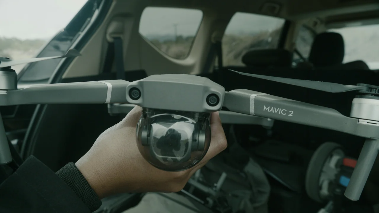
The entire Las Vegas urban corridor — including the Strip, Downtown, Henderson, North Las Vegas, and most of the valley floor — sits under the Class B airspace of Harry Reid International Airport (LAS). This means that unless you have prior authorization from air traffic control, recreational and commercial drone flights are effectively prohibited across the vast majority of the metro area.
Harry Reid International Airport (LAS) Class B Airspace
The LAS Class B airspace extends approximately 30 nautical miles from the airport in a series of rings and shelves. The inner ring, which covers the Strip and downtown Las Vegas, is surface-level Class B — meaning controlled airspace starts at the ground. You cannot fly a drone here without a LAANC authorization, and even then, approvals are rare for the innermost zones because of the density of helicopter traffic, police aircraft, and commercial operations. The outer rings of the Class B begin at altitudes of 3,000 to 7,000 feet, which means you could theoretically fly a drone under that shelf in some areas — but you must verify this using a LAANC-capable app like Aloft or Kittyhawk before launching.
North Las Vegas Airport (VGT) and Henderson Executive (HND) Class D Airspace
Two smaller airports add additional controlled airspace within the valley. North Las Vegas Airport (VGT) has a Class D airspace that extends from the surface to 3,000 feet, covering the northern suburbs. Henderson Executive Airport (HND) has a similar Class D ring over the south valley, including parts of Henderson and Anthem. These Class D zones are smaller than the Class B but still require LAANC authorization. If you are flying in the outer suburban areas like Summerlin or Mountains Edge, you may be outside the Class B but still inside a Class D shelf — always check your airspace map before flying.
What Are the Military Restricted Zones in Clark County?
Clark County is home to one of the largest military operating areas in the United States: Nellis Air Force Base and the Nevada Test and Training Range. These zones cover massive portions of the county and are absolute no-fly areas for drones.
Nellis AFB Restricted Area (R-4806 and R-4807)
Nellis Air Force Base occupies the northeastern portion of the Las Vegas valley, and its restricted airspace extends far beyond the base itself. The R-4806 and R-4807 restricted areas cover thousands of square miles of desert to the north and northeast of Las Vegas. These zones are often active 24/7 for training exercises involving fighter jets, bombers, and unmanned aircraft. If you are flying anywhere north of US-95 beyond the urban area, you are likely inside a Nellis restricted zone. Check the FAA Sectional Chart or a drone airspace app carefully — these zones are not visible on standard LAANC maps and require you to look at the full airspace overlay.
Nevada Test and Training Range (NTTR)
The NTTR is the largest contiguous restricted airspace in the continental United States, covering approximately 12,000 square miles of Clark and Nye Counties. It begins roughly 30 miles northwest of Las Vegas and extends all the way to the California border. This area includes the infamous “Area 51” region, though that specific zone is within the NTTR. Do not fly a drone anywhere near the NTTR boundary — the military actively monitors these zones and will report violators to the FAA. Fines can reach $27,500 per violation under FAA regulations.
Where Can You Legally Fly a Drone in Clark County?
Despite the heavy restrictions in the urban valley, Clark County offers several excellent legal flying locations in the surrounding desert. These areas are outside the LAS Class B airspace and are not on federal land managed by the National Park Service.
Red Rock Canyon National Conservation Area (BLM Land)
Red Rock Canyon is the single most popular legal drone flying location for Las Vegas visitors. Managed by the Bureau of Land Management (BLM), the Red Rock Canyon National Conservation Area (NCA) does not have a blanket drone ban. You can fly a drone here as long as you follow standard FAA rules: stay below 400 feet AGL, maintain visual line of sight, and do not disturb wildlife or other visitors. The best areas for drone flying are the Calico Hills overlook, the scenic drive pullouts, and the backcountry trails. Avoid flying near the visitor center or crowded parking lots. Keep in mind that the NCA is within 30 miles of LAS, but the Class B shelf begins at 7,000 feet MSL here, giving you ample room to fly under it.
Spring Mountains National Recreation Area (USFS Land)
Mount Charleston, officially part of the Spring Mountains National Recreation Area, is managed by the U.S. Forest Service. Drones are generally permitted on USFS land as long as you do not fly over wilderness areas, which are designated as no-drone zones. The area around Lee Canyon and the Mount Charleston Lodge is accessible for drone flying. Note that the higher elevations (above 8,000 feet) can create thin air that affects drone performance, and temperatures can be significantly cooler than the valley floor. Always check for temporary flight restrictions due to wildfire activity in summer.
Valley of Fire State Park (With a Permit)
Valley of Fire State Park, located about 50 miles northeast of Las Vegas, is managed by Nevada State Parks. Unlike National Park Service lands, Nevada State Parks do not have a blanket drone ban. However, you must obtain a special use permit from the park office before flying. The permit process typically takes a few days and costs a nominal fee. Without a permit, rangers will ask you to land immediately. The park’s striking red sandstone formations make it a spectacular location for aerial photography, but respect the permit requirement — violators face fines up to $1,000.
Which Clark County Parks Allow Drones?
Clark County operates dozens of parks within the urban area, but drone flying is generally prohibited in county parks unless you have a special event permit. The Clark County Parks and Recreation Department classifies drones as “motorized aircraft” and restricts them in all developed park areas. This includes popular parks like Sunset Park, Floyd Lamb Park, and Clark County Wetlands Park.
However, there are exceptions for designated “model aircraft fields” within county parks. The Clark County Model Airplane Park, located near the intersection of Decatur Boulevard and Warm Springs Road, is the only county-operated site specifically authorized for radio-controlled aircraft, including drones. This field is open to the public but has specific hours and noise restrictions. If you want to fly in a county park outside this designated field, you must apply for a special use permit through the Clark County Parks Department at least 30 days in advance.
What About Lake Mead and Hoover Dam?
Lake Mead National Recreation Area is managed by the National Park Service, which has a nationwide ban on drone operations. This ban covers the entire Lake Mead shoreline, including popular launch points like Boulder Beach, Callville Bay, and Temple Bar. The ban also extends to the Colorado River corridor downstream of Hoover Dam. If you are caught flying a drone at Lake Mead, you face a federal citation with fines starting at $250 and potential confiscation of your equipment.
Hoover Dam itself is a federal security zone under the jurisdiction of the Bureau of Reclamation and the U.S. Department of Homeland Security. Drone flights within 3,000 feet of the dam are strictly prohibited. Security personnel actively monitor the airspace around the dam, and violators have been detained and prosecuted under the Patriot Act provisions for flying over critical infrastructure. Do not fly anywhere near Hoover Dam, even if you are on the Arizona side of the border.
How to Use the No-Fly Zone Checker for Clark County
Given the complexity of Clark County airspace, you should always verify your intended flight location using a reliable airspace tool. Our No-Fly Zone Checker allows you to enter any address or GPS coordinate in Clark County and instantly see whether that location falls within controlled airspace, a restricted military zone, or a federal land boundary. This is particularly useful for the transition zones between the urban valley and the desert, where the airspace boundaries can be confusing.
Enter Your Location
Type in your exact launch point in Clark County — whether it is a Red Rock Canyon trailhead or a Henderson park.
Review the Airspace Overlay
The checker will show you the Class B, Class D, restricted areas, and federal land boundaries that apply to your location.
Get a LAANC Authorization If Needed
If you are in controlled airspace, the checker will link you directly to the LAANC approval system for automated authorization.
What Are the Rules for Boulder City and the Outer Valley?
Boulder City sits just outside the LAS Class B airspace, making it more accessible for drone flying than the Las Vegas valley itself. The city’s proximity to Lake Mead and Hoover Dam means you must be careful about boundaries, but the town itself and the desert areas to the east and south are generally open for drone operations. The Boulder City Municipal Airport has a Class D airspace that covers the immediate vicinity of the airport, but most of the town is under uncontrolled airspace (Class G) below 700 feet AGL.
The desert areas south of Boulder City, including the Eldorado Valley and the areas along US-95 toward Searchlight, are largely unrestricted for drone flying. These areas are outside the LAS Class B, outside Nellis restricted zones, and on BLM land. If you want wide-open desert flying with no airspace concerns, this is your best bet. Just be aware of extreme summer temperatures and carry extra batteries — the heat can reduce flight times by 30% or more.
Summary: Your Action Plan for Flying Drones in Clark County
Clark County offers some of the most diverse drone flying opportunities in the western United States, but only if you respect the boundaries. For the urban Las Vegas area, assume you cannot fly unless you have confirmed LAANC authorization and are in a specific permitted zone. For the surrounding desert, Red Rock Canyon and the Spring Mountains are your best options for scenic flights without special permits. Valley of Fire requires a state park permit, and Lake Mead is completely off-limits. Always use our No-Fly Zone Checker before launching, and carry a copy of your FAA registration and Part 107 certificate if you are flying commercially. By understanding the split between the restricted urban zone and the open desert, you can safely and legally capture stunning aerial footage of one of America’s most iconic landscapes.
Frequently Asked Questions
What are the drone laws in Clark County Nevada?
Drone laws in Clark County are governed primarily by FAA airspace regulations, not county ordinances. The entire Las Vegas valley falls under Harry Reid International Airport’s Class B airspace, which requires LAANC authorization for any flight. Outside the urban area, BLM land like Red Rock Canyon allows drones under standard FAA rules, while National Park Service land like Lake Mead has a total ban. You must register any drone over 0.55 pounds with the FAA DroneZone for a $5 fee, and commercial pilots need a Part 107 Remote Pilot Certificate. There is no county-wide drone ban, but individual parks and municipal areas have their own restrictions.
Can I fly a drone outside Las Vegas in Clark County?
Yes, you can fly a drone outside the Las Vegas urban area in many parts of Clark County. The desert areas to the west, such as Red Rock Canyon and the Spring Mountains, are generally open for drone flying as long as you stay below 400 feet AGL and maintain visual line of sight. The desert south of Boulder City along US-95 is also unrestricted. However, you must avoid the Nellis Air Force Base restricted zones to the north and northeast, which cover thousands of square miles. Always check a current airspace map before launching, as military training areas can be active without warning.
Is Red Rock Canyon open for drones in Clark County?
Yes, Red Rock Canyon National Conservation Area is open for drone flying in 2026. Because it is managed by the Bureau of Land Management rather than the National Park Service, there is no blanket drone ban. You can fly drones from the scenic drive pullouts, the Calico Hills area, and along backcountry trails. You must follow all standard FAA rules, including staying below 400 feet AGL and not disturbing wildlife or other visitors. Avoid flying near the visitor center and crowded areas. The LAS Class B airspace begins at 7,000 feet MSL above Red Rock, giving you ample room to operate legally.
What Clark County parks allow drones?
Most Clark County parks do not allow drones without a special event permit. The only county-operated site specifically authorized for drone and model aircraft flying is the Clark County Model Airplane Park near Decatur and Warm Springs. For other county parks like Sunset Park or Clark County Wetlands Park, you must apply for a special use permit through the Clark County Parks and Recreation Department at least 30 days in advance. Henderson city parks also generally prohibit drones, while Boulder City is more permissive in undeveloped areas. Always check with the specific park office before flying.
Are there drone-friendly areas in Clark County outside the Class B?
Yes, several areas in Clark County are outside the LAS Class B airspace and are drone-friendly. Red Rock Canyon, the Spring Mountains around Mount Charleston, the desert areas south of Boulder City, and parts of the Eldorado Valley are all outside controlled airspace. Valley of Fire State Park is also outside the Class B but requires a special use permit from Nevada State Parks. These areas offer wide-open flying with minimal airspace restrictions. Just be aware of the Nellis restricted zones to the north and the Lake Mead NPA ban to the east when planning your flight.
Can I fly a drone near Boulder City Nevada?
Yes, you can fly a drone near Boulder City, but you must be careful about boundaries. Boulder City itself sits outside the LAS Class B airspace, making it more accessible than the Las Vegas valley. The Boulder City Municipal Airport has a Class D airspace that covers the immediate airport area, but most of the town is under uncontrolled Class G airspace below 700 feet. The desert areas east and south of Boulder City are on BLM land and are open for drone flying. However, you must avoid flying over Lake Mead National Recreation Area to the east, as it is a federal no-drone zone, and stay at least 3,000 feet away from Hoover Dam to the south.
Last updated: July 04, 2026
- Federal Aviation Administration (faa.gov) — UAS Facility Maps and Part 107 Regulations
- Bureau of Land Management — Red Rock Canyon NCA Drone Policy
- National Park Service — Lake Mead NRA Drone Ban (36 CFR 1.5)
- Nevada State Parks — Valley of Fire Special Use Permit Requirements
- Clark County Parks and Recreation — Drone Operating Policy
Drone Allowed
DroneAllowed editor covering drone regulations, aviation law, and aerial photography across USA, UK, Canada & Australia.