
Wisconsin Drone Laws 2026: Apostle Islands, Milwaukee & Rules
 13 min read
2,479 words
13 min read
2,479 words
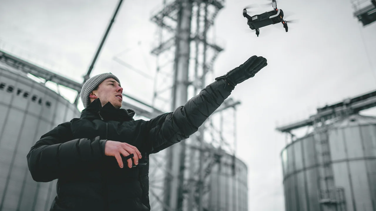
If you are a drone pilot planning to fly in Wisconsin in 2026, you need to understand a layered set of rules that go far beyond the basic FAA regulations. From the stunning sea caves of the Apostle Islands to the Class C airspace around Milwaukee, Wisconsin presents a mix of open flying zones and strict no-fly areas. This guide covers everything you need to know about Wisconsin drone laws, including state statutes, national park bans, state park permits, and local airspace restrictions. By the end, you will know exactly where you can launch legally and what permits you need to avoid a costly fine.
What Is the Baseline Federal Law for Drones in Wisconsin?
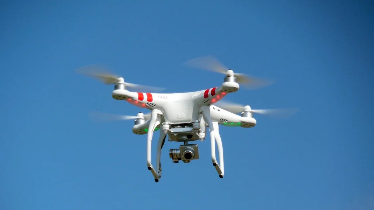
Before diving into Wisconsin-specific rules, every pilot must comply with the Federal Aviation Administration (FAA) regulations. These are the foundation of all drone operations in the United States, and Wisconsin does not override them.
All drones weighing over 0.55 pounds (250 grams) must be registered with the FAA through the DroneZone portal. This includes popular models like the DJI Mini 4 Pro (under 250g in its standard configuration) and the larger DJI Air 3. Recreational flyers must pass The Recreational UAS Safety Test (TRUST) and carry proof of completion. Commercial operators need a Part 107 Remote Pilot Certificate. The maximum altitude is 400 feet above ground level (AGL), and you must always maintain visual line of sight with your drone.
Wisconsin State Drone Statute: Wis. Stat. 114.045
Wisconsin has its own state law governing drones, codified in Wis. Stat. 114.045. This statute was enacted to address privacy and property rights concerns that the FAA does not cover. Under this law, it is illegal to use a drone to intentionally photograph, record, or observe an individual in a place where they have a reasonable expectation of privacy, such as inside a home or a fenced backyard.
The law also prohibits flying a drone over a correctional facility or a military installation without prior authorization. Violations can result in fines of up to $500 for a first offense and up to $1,000 for subsequent offenses. This state law applies everywhere in Wisconsin, including rural areas and small towns. For pilots, this means you should never fly low over private property to look into windows or backyards, even if you are flying from a public park.
Drone Rules at Apostle Islands National Lakeshore
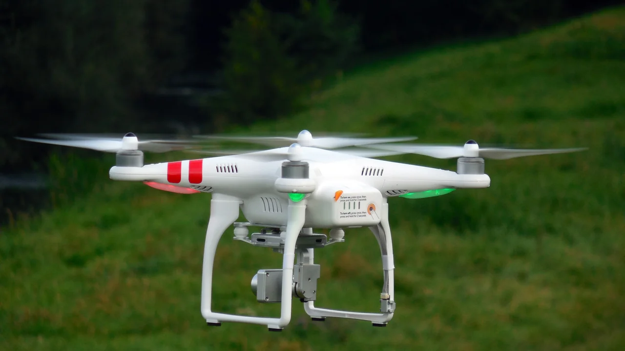
The Apostle Islands National Lakeshore, famous for its sea caves on Lake Superior, is a premier photography destination. However, as a unit of the National Park Service (NPS), it is a complete no-fly zone. The NPS banned drones in all national parks under Policy Memorandum 14-05, and the Apostle Islands are no exception. Launching, landing, or operating a drone from within the park boundaries is illegal.
This ban covers the entire lakeshore, including the mainland visitor centers, all 21 islands (such as Madeline Island, Stockton Island, and Devil’s Island), and the offshore sea caves. Rangers actively patrol the area, especially during peak summer months, and fines can exceed $5,000. Do not attempt to fly from a boat within the park’s boundaries either — the ban applies to the airspace above the park, not just the land.
Chequamegon-Nicolet National Forest: The Open Alternative
If you want to capture aerial footage of the Lake Superior region, the Chequamegon-Nicolet National Forest is your best alternative. This 1.5-million-acre forest is managed by the U.S. Forest Service (USFS), which generally allows drone flights as long as you follow FAA regulations. Unlike national parks, national forests do not have a blanket drone ban.
However, there are important caveats. You cannot fly in designated wilderness areas within the forest, such as the Rainbow Lake Wilderness or the Porcupine Lake Wilderness. These areas are marked on USFS maps. You also cannot disturb wildlife or other visitors. The forest is home to black bears, wolves, and bald eagles — maintain a distance of at least 100 feet from any animal. For the best views of Lake Superior, consider flying from the forest’s northern sections near the town of Bayfield, but stay outside the Apostle Islands boundary.
Drone Laws in Milwaukee: Class C Airspace and MKE
Milwaukee is the largest city in Wisconsin and has the most complex airspace. General Mitchell International Airport (MKE) is a Class C airspace, which means you need FAA authorization to fly within a 5-mile radius of the airport. This covers most of downtown Milwaukee, including the Milwaukee Riverwalk, Veterans Park, and the Milwaukee Art Museum.
To obtain authorization, you must use the FAA’s LAANC (Low Altitude Authorization and Notification Capability) system through an approved app like Aloft or Kittyhawk. Authorization is typically granted instantly for flights below 200 feet in the outer ring of the Class C airspace. Flights closer to the runway require more time and may be denied. The Milwaukee lakefront, including Bradford Beach, is in a controlled zone — always check your app before launching.
Drone Rules in Madison: MSN and Truax Field
Madison’s Dane County Regional Airport (MSN) is also a Class C airspace, but with an added complication: Truax Field, which is shared with the Wisconsin Air National Guard. This means military aircraft operate regularly, and the FAA takes airspace violations seriously. The controlled airspace extends roughly 5 miles from the airport, covering downtown Madison, the University of Wisconsin campus, and the Capitol Building.
Flying near the Wisconsin State Capitol is not recommended. While the Capitol itself is not a no-fly zone under federal law, it is surrounded by controlled airspace, and the presence of law enforcement and political figures often triggers temporary flight restrictions (TFRs). Always check for TFRs before flying. For safer flights in Madison, head to the city’s parks outside the Class C ring, such as Owen Conservation Park or the Arboretum (though the Arboretum has its own rules — see below).
Wisconsin State Parks: DNR Policy and Permits
The Wisconsin Department of Natural Resources (DNR) manages the state park system, and its drone policy is clear: you need a permit to launch, land, or operate a drone on DNR-managed lands. This includes all state parks, state forests, state trails, and state recreation areas. The permit is not free and requires a formal application process.
To apply, you must submit a Special Use Permit application to the DNR at least 30 days before your planned flight. The permit costs $100 for commercial operators and $50 for recreational operators (as of 2026). The DNR reviews each application on a case-by-case basis, considering factors like wildlife nesting seasons, visitor safety, and special events. Permits are rarely granted for busy summer weekends at popular parks.
| Park Name | Drone Policy | Permit Required? | Notes |
|---|---|---|---|
| Peninsula State Park (Door County) | Permit required | Yes ($50-$100) | Apply 30 days ahead; limited during summer |
| Devil’s Lake State Park | Permit required | Yes ($50-$100) | High traffic; rarely approved in summer |
| Kettle Moraine State Forest | Permit required | Yes ($50-$100) | Easier to get for weekdays |
| Ice Age National Scenic Trail | Permit required | Yes ($50-$100) | Trail segments on DNR land only |
Peninsula State Park (Door County) Drone Rules
Peninsula State Park in Door County is one of Wisconsin’s most visited state parks, with 3,700 acres of forests, bluffs, and shoreline on Green Bay. The park is extremely popular for photography, especially at Eagle Tower and the Nicolet Bay beach. However, drone flights are strictly regulated. The DNR rarely grants permits during the peak season from Memorial Day to Labor Day due to the high volume of visitors.
If you are visiting Door County for drone photography, consider flying from private property with the landowner’s permission. Many resorts and vacation rentals in Door County allow drone flights over their land, as long as you stay clear of neighboring properties. Never fly over the park from outside its boundaries — the DNR enforces the airspace above the park, and you can be cited for launching from a nearby road or beach.
Devil’s Lake State Park Drone Rules
Devil’s Lake State Park, located near Baraboo, is Wisconsin’s most popular state park with over 2 million visitors annually. The park’s quartzite bluffs and 360-acre lake make it a tempting target for drone pilots. However, the DNR almost never grants drone permits for Devil’s Lake during the summer months. The park is simply too crowded, and drones pose a safety risk to hikers and climbers.
Your best chance for flying at Devil’s Lake is in the off-season (October through April) on a weekday. Even then, you must apply for the permit and receive written approval. Flying without a permit can result in a $200 fine and confiscation of your drone. The park rangers are trained to spot drones and will issue citations.
Horicon National Wildlife Refuge: USFWS Rules
Horicon National Wildlife Refuge, located in Dodge County, is one of the largest freshwater marshes in the United States and a critical stopover for migratory birds. As a U.S. Fish and Wildlife Service (USFWS) property, drones are generally prohibited. The USFWS policy bans drone launches and landings on all refuge lands unless a Special Use Permit is obtained for scientific or management purposes.
The refuge is home to thousands of Canada geese, sandhill cranes, and other waterfowl. Even flying a drone near the refuge boundary can disturb nesting birds, which is a violation of the Migratory Bird Treaty Act. If you want to film the marsh, use a telephoto lens from the auto tour route or the observation platforms. Do not attempt to fly from the nearby Horicon Marsh State Wildlife Area, which is also managed by the DNR and requires a permit.
Ice Age National Scenic Trail and Drone Use
The Ice Age National Scenic Trail stretches 1,200 miles across Wisconsin, following the terminal moraine of the last glacial period. The trail passes through a mix of federal, state, and private lands. On segments that cross Wisconsin State Parks or State Forests, you need a DNR permit. On federal land (such as the Chequamegon-Nicolet National Forest), drone flights are generally allowed outside wilderness areas.
For the most drone-friendly sections of the trail, focus on the northern segments that pass through the Chequamegon-Nicolet National Forest. The southern segments near Madison and Milwaukee are more restricted due to urban airspace and state park requirements. Always verify the land ownership for the specific segment you plan to fly over using the DNR’s online mapping tool.
Summary: Flying Legally in Wisconsin in 2026
Navigating Wisconsin drone laws in 2026 requires careful planning. The Apostle Islands National Lakeshore is a strict no-fly zone, but the Chequamegon-Nicolet National Forest offers a legal alternative for Lake Superior footage. Milwaukee and Madison require LAANC authorization due to Class C airspace. Wisconsin State Parks, including Peninsula State Park and Devil’s Lake, require a permit that is difficult to obtain during peak season.
My recommendation: Plan your flights around the national forests and private property with permission. Use the No-Fly Zone Checker before every flight to verify airspace restrictions. Always carry your FAA registration and TRUST certificate. Wisconsin is a beautiful state for drone flying, but only if you respect the layered regulations.
Frequently Asked Questions
Are drones allowed at Apostle Islands?
No, drones are not allowed at Apostle Islands National Lakeshore. The National Park Service has a blanket ban on drone operations within all national park boundaries, including the islands, sea caves, and mainland visitor centers. Violators face fines exceeding $5,000. The closest legal alternative is the Chequamegon-Nicolet National Forest, which is outside the park boundary.
Can I fly a drone in Wisconsin State Parks?
Yes, but only with a Special Use Permit from the Wisconsin DNR. The permit costs $50 for recreational use and $100 for commercial use, and must be submitted at least 30 days in advance. Permits are rarely granted during peak summer months at popular parks like Peninsula State Park and Devil’s Lake State Park. Flying without a permit can result in a $200 fine.
What are the drone rules in Milwaukee?
Milwaukee is in Class C airspace due to General Mitchell International Airport (MKE). You must use the FAA’s LAANC system to obtain authorization before flying within 5 miles of the airport. Downtown Milwaukee, the lakefront, and areas near Miller Park are all in controlled zones. Authorization is typically granted instantly for flights below 200 feet in the outer ring.
Are drones legal in Chequamegon National Forest?
Yes, drones are generally legal in the Chequamegon-Nicolet National Forest, as the U.S. Forest Service does not have a blanket ban. However, you cannot fly in designated wilderness areas like the Rainbow Lake Wilderness. You must also follow FAA regulations, maintain 400 feet AGL, and avoid disturbing wildlife. This forest is the best legal option for aerial photography near Lake Superior.
Can I fly a drone at Devil’s Lake State Park?
Yes, but only with a DNR Special Use Permit. The park is extremely busy during summer, and permits are almost never granted from Memorial Day to Labor Day. Your best chance is during the off-season on a weekday. Flying without a permit at Devil’s Lake State Park can lead to a $200 fine and confiscation of your drone.
What is Wisconsin’s drone law?
Wisconsin’s primary drone law is Wis. Stat. 114.045, which prohibits using a drone to intentionally photograph or record individuals in places where they have a reasonable expectation of privacy. It also bans flights over correctional facilities and military installations. Violations can result in fines up to $500 for a first offense. This law works alongside FAA regulations and does not override federal airspace rules.
Last updated: June 25, 2026
- Federal Aviation Administration (faa.gov)
- Wisconsin State Legislature — Wis. Stat. 114.045
- National Park Service — Apostle Islands National Lakeshore
- Wisconsin Department of Natural Resources — Special Use Permit Policy
- U.S. Fish and Wildlife Service — Horicon National Wildlife Refuge
- U.S. Forest Service — Chequamegon-Nicolet National Forest
Drone Allowed
DroneAllowed editor covering drone regulations, aviation law, and aerial photography across USA, UK, Canada & Australia.