
Melbourne Drone Laws 2026: CASA Rules, CBD & Where to Fly
 12 min read
2,250 words
12 min read
2,250 words
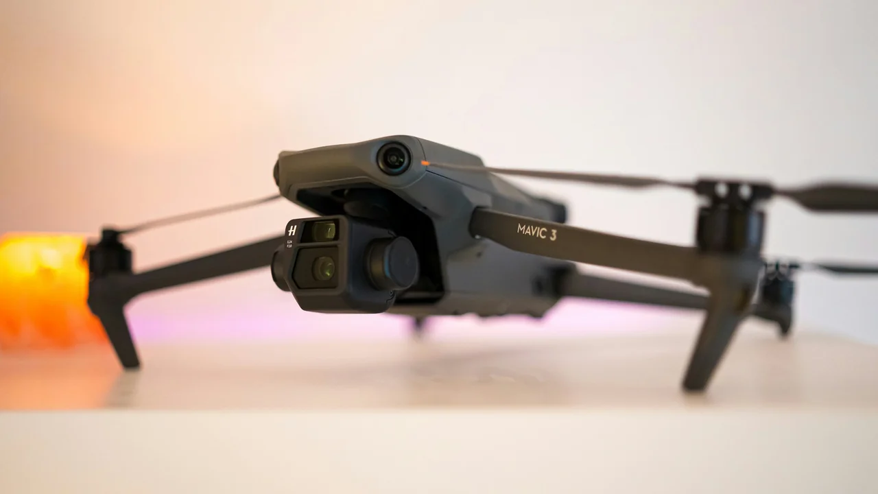
If you’re wondering where you can fly a drone in Melbourne under the 2026 CASA rules, you’ve come to the right place. This guide covers Melbourne drone laws for residents and tourists alike, breaking down the key regulations for the CBD, beaches, parks, and airspace around Tullamarine and Essendon airports. By the end, you’ll know exactly what’s required to fly legally, where you can launch, and which spots to avoid entirely.
What Are the Standard CASA Drone Laws for Melbourne in 2026?
Australia’s drone regulations are set by the Civil Aviation Safety Authority (CASA), and they apply uniformly across the country, including Melbourne. For recreational and commercial pilots alike, the “standard operating conditions” are your baseline rules. If you’re flying a drone that weighs 250 grams or more, you must register it on the myRPAS system and display your registration number on the aircraft. The fee is A$20 per year. You also need to pass the online CASA accreditation test (called the “RePL” for commercial or the “Operator’s Accreditation” for recreational) to prove you understand the rules.
The core operational limits are: fly no higher than 120 metres (400 feet) above ground level, keep your drone within visual line of sight at all times, and never fly over or near people who aren’t involved in the flight. You must also stay at least 30 metres away from people, vehicles, and structures not under your control. Flying at night is permitted only if your drone has a flashing anti-collision light visible for at least three nautical miles. These rules form the foundation of every Melbourne drone flight, but local airspace and council restrictions add further layers.
Melbourne CBD Drone Rules: Can You Fly in the City Centre?
The short answer is no — you cannot fly a drone in Melbourne’s CBD without specific approval. The entire central business district sits within the controlled airspace of Melbourne Airport (YMML), specifically the Class C control zone (CTR). This airspace extends from ground level up to 5,500 feet in a wide area around Tullamarine, covering the CBD, Docklands, Southbank, and inner suburbs like Carlton and Fitzroy. CASA’s “Can I Fly There?” tool will immediately flag this zone as prohibited for drone flight without an airspace authorisation.
Even if you manage to find a spot outside the YMML CTR, the density of people, buildings, and moving vehicles makes it nearly impossible to comply with the 30-metre distance rule. The City of Melbourne council also has local laws prohibiting drone take-off and landing from public spaces like Federation Square, the Royal Botanic Gardens, and city parks without a permit. For commercial operations, you could apply for an airspace authorisation through CASA, but this is rarely granted for the CBD core due to safety risks. Your best bet for city skyline photos is to fly from a location outside the CTR, such as the western suburbs, and keep your drone within visual line of sight — but even then, the altitude limit of 120 metres may not give you the angle you want.
Melbourne Airport (YMML) and Essendon Fields (YMEN) Airspace
Melbourne Airport at Tullamarine (YMML) has a massive Class C control zone that covers most of the city’s northern, western, and central suburbs. The CTR extends roughly 15 nautical miles from the airport, with a 5-nautical-mile radius from ground level and an outer ring from 1,500 feet upwards. This means suburbs like Footscray, Sunshine, Williamstown, and even parts of the Yarra River are within the no-fly zone at low altitudes. Essendon Fields Airport (YMEN) is a Class D airport located about 11 kilometres north-west of the CBD. Its control zone is smaller but still affects the inner north and west, including Brunswick, Coburg, and Moonee Ponds. Both airports have active flight training operations, so drone incursions are taken very seriously.
To check if your intended flight location is inside these zones, use CASA’s Can I Fly There? interactive map. You can also use our No-Fly Zone Checker to cross-reference airspace boundaries with council restrictions. If you’re in a suburb like Werribee or Melton, you’re well outside the YMML CTR and have much more freedom — but always double-check for smaller airfields like Avalon (YMAV) to the south-west.
| Airport | Class | Affected Areas (Examples) | Restriction Level |
|---|---|---|---|
| Melbourne Tullamarine (YMML) | C | CBD, Footscray, St Kilda, Brighton, Yarra River | No flight without authorisation |
| Essendon Fields (YMEN) | D | Brunswick, Coburg, Moonee Ponds | No flight without authorisation |
| Avalon (YMAV) | C | Geelong, Lara, Point Wilson | No flight without authorisation |
Melbourne Beach Drone Rules: St Kilda and Brighton
Flying a Drone at St Kilda Beach
St Kilda Beach is one of Melbourne’s most popular foreshore areas, but drone flight here is heavily restricted. The beach and adjacent parklands fall under the jurisdiction of Port Phillip City Council, which has a local law prohibiting drone take-off and landing from council-managed land without a permit. Additionally, the entire St Kilda area sits within the YMML Class C control zone, making it a no-fly zone for recreational drones. The St Kilda Marina and the penguin colony at the breakwater are also protected wildlife areas, adding another layer of restriction under the Wildlife Act. If you’re after aerial shots of the beach or the pier, you’re better off flying from a location outside the CTR, such as the western side of Port Phillip Bay near Altona.
Drone Rules for Brighton Beach Bathing Boxes
The Brighton Beach bathing boxes are arguably the most photographed spot in Melbourne, but drone flight here is effectively prohibited. The beach is managed by Bayside City Council, which has a local law that bans drone operations from council reserves and foreshore areas without a permit. The bathing boxes themselves are located directly under the YMML Class C control zone, as the airport’s CTR extends over this part of Port Phillip Bay. The proximity to the airport means that even if you could get a council permit, CASA would likely deny an airspace authorisation due to the flight path of incoming aircraft. For ground-level photography, you can still capture beautiful images from the beach itself using a standard camera — just leave the drone at home.
Can I Fly a Drone Over the Yarra River?
The Yarra River runs through the heart of Melbourne, and most of its length within the metropolitan area falls under the YMML Class C control zone. From the CBD upstream to areas like Kew and Hawthorn, the river is a no-fly zone for recreational drones. Downstream past the West Gate Bridge, the river enters the Port Phillip Bay area, which is also restricted near the airport. However, further upstream beyond Warrandyte, the river exits the CTR and you may be able to fly. Always check the CASA map for your specific location. The Yarra River is also managed by Parks Victoria in some sections, which requires a permit for drone operations — more on that below.
Port Phillip Bay Drone Rules: Open Water Flying
Port Phillip Bay offers open water that might seem ideal for drone flying, but airspace restrictions apply depending on your exact location. The northern part of the bay, from Williamstown to Brighton, is within the YMML CTR and is off-limits. As you move south towards the Bellarine Peninsula or the Mornington Peninsula, you exit the controlled airspace. For example, flying over the bay from a beach like Altona or Point Cook is restricted, but launching from a spot like Queenscliff (south of the CTR) is generally fine under standard CASA rules. Remember that you must keep your drone within visual line of sight at all times, so flying far out over the water is impractical for most pilots. Also, be aware of marine wildlife — flying over seals or penguins can disturb them and may breach state wildlife laws.
Parks Victoria Properties and Drone Permits
Many of Melbourne’s best outdoor spaces — including the Royal Botanic Gardens, the You Yangs, and Wilson’s Promontory — are managed by Parks Victoria. The authority has a strict policy that prohibits drone take-off and landing from its land without a valid permit. This applies to all parks, reserves, and waterways under its control. You can apply for a permit through the Parks Victoria website, but they are typically only granted for commercial filming or scientific research, not for recreational flights. Even if you launch from outside a park boundary, flying over it may still be considered a breach of the permit requirement. Always check the specific park’s drone policy before you fly.
How to Use the CASA Can I Fly There? Tool for Melbourne
CASA’s interactive map is your first and most important tool for checking Melbourne drone laws. You can access it online or via the “Can I Fly There?” mobile app. Simply drop a pin on your intended location, and the tool will tell you if you’re in controlled airspace, near a restricted area (like a prison or defence facility), or close to a helicopter landing site. For Melbourne, the tool will clearly show the YMML and YMEN control zones, as well as smaller airfields like Moorabbin (YMMB) and Lilydale (YLIL). It also overlays national park boundaries and other no-fly zones. Use this tool every time you fly, as airspace can change.
Summary: Flying Legally in Melbourne
To fly a drone in Melbourne legally in 2026, follow this checklist: register your drone with CASA if it’s 250g or over, pass the accreditation test, and always check the No-Fly Zone Checker before heading out. Avoid the YMML and YMEN control zones entirely for recreational flight. For beach flying, stay south of the CTR near the Bellarine Peninsula or Mornington Peninsula. If you’re after footage of the city skyline, consider flying from the western suburbs like Werribee or Point Cook, where you’re outside the controlled airspace but still close enough for a good view. Always respect council and Parks Victoria permit requirements, and never fly over people or wildlife. With careful planning, you can enjoy Melbourne’s diverse landscapes from the air without breaking the rules.
Frequently Asked Questions
Can I fly a drone in Melbourne CBD?
No, you cannot fly a drone in Melbourne CBD for recreational purposes. The entire central business district lies within the Melbourne Airport (YMML) Class C control zone, which prohibits drone flight without a CASA airspace authorisation. Even if you could get authorisation, the density of people and buildings makes it nearly impossible to comply with the 30-metre distance rule.
Are drones allowed at St Kilda Beach?
Drones are not allowed at St Kilda Beach without a permit from Port Phillip City Council. The beach is also within the YMML Class C control zone, making it a no-fly zone for recreational operations. Additionally, the nearby penguin colony is a protected wildlife area, adding further restrictions.
What are the drone laws in Melbourne?
Melbourne drone laws follow CASA’s standard operating conditions: register any drone over 250g, pass the accreditation test, fly below 120 metres, keep within visual line of sight, and stay 30 metres away from people. Local councils and Parks Victoria add their own permit requirements, and the YMML and YMEN control zones prohibit flight in most of the city and inner suburbs.
Do I need a permit to fly a drone in Melbourne?
Yes, you need multiple permits depending on where you fly. CASA requires registration and accreditation for drones over 250g. For flights on council land (like beaches or parks), you need a council permit. For Parks Victoria properties, a separate permit is required. Commercial operations also need a RePL licence.
Can I fly a drone over Port Phillip Bay?
You can fly a drone over Port Phillip Bay only in areas outside the YMML Class C control zone. The northern part of the bay near Williamstown and Brighton is restricted, but the southern sections near Queenscliff and the Mornington Peninsula are generally fine under standard CASA rules. Always check the airspace map first.
Are drones allowed at Brighton Beach bathing boxes?
No, drones are not allowed at Brighton Beach bathing boxes. The site is within the YMML Class C control zone, and Bayside City Council prohibits drone take-off and landing from its foreshore without a permit. Permits are almost never issued due to the airspace conflict with Melbourne Airport.
Last updated: June 25, 2026
- Civil Aviation Safety Authority (CASA) — Drone Rules & Registration
- Airservices Australia — Airspace Maps and Can I Fly There? Tool
- Port Phillip City Council — Local Laws for Foreshore and Parks
- Bayside City Council — Local Laws for Foreshore Reserves
- Parks Victoria — Drone Policy and Permit Application
Drone Allowed
DroneAllowed editor covering drone regulations, aviation law, and aerial photography across USA, UK, Canada & Australia.